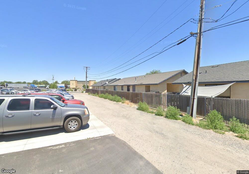
1665 Kaiser St Fallon, NV 89406
Estimated Value: $182,000 - $286,000
3
Beds
2
Baths
1,288
Sq Ft
$184/Sq Ft
Est. Value
About This Home
This home is located at 1665 Kaiser St, Fallon, NV 89406 and is currently estimated at $237,419, approximately $184 per square foot. 1665 Kaiser St is a home located in Churchill County with nearby schools including Lahontan Elementary School, E.C. Best Elementary School, and Numa Elementary School.
Ownership History
Date
Name
Owned For
Owner Type
Purchase Details
Closed on
Dec 15, 2025
Sold by
Renteria Edwin A Pico
Bought by
Pico Beatriz
Current Estimated Value
Home Financials for this Owner
Home Financials are based on the most recent Mortgage that was taken out on this home.
Original Mortgage
$180,000
Outstanding Balance
$180,000
Interest Rate
5.41%
Mortgage Type
New Conventional
Estimated Equity
$57,419
Purchase Details
Closed on
Aug 25, 2021
Sold by
Canjura Julio G and Canjura Martha H
Bought by
1665 Kaiser Llc and Canjura Holdings Llc
Purchase Details
Closed on
Oct 6, 2009
Sold by
Ernst David R
Bought by
Canjura Julio G and Canjura Martha H
Home Financials for this Owner
Home Financials are based on the most recent Mortgage that was taken out on this home.
Original Mortgage
$20,000
Interest Rate
5.08%
Mortgage Type
Seller Take Back
Create a Home Valuation Report for This Property
The Home Valuation Report is an in-depth analysis detailing your home's value as well as a comparison with similar homes in the area
Home Values in the Area
Average Home Value in this Area
Purchase History
| Date | Buyer | Sale Price | Title Company |
|---|---|---|---|
| Pico Beatriz | -- | Stewart Title Company | |
| Canjura Julio G | -- | Stewart Title Company | |
| Canjura Julio G | $180,000 | Stewart Title Company | |
| 1665 Kaiser Llc | -- | None Available | |
| Canjura Julio G | $90,000 | Western Nevada Title Company |
Source: Public Records
Mortgage History
| Date | Status | Borrower | Loan Amount |
|---|---|---|---|
| Open | Canjura Julio G | $180,000 | |
| Previous Owner | Canjura Julio G | $20,000 |
Source: Public Records
Tax History
| Year | Tax Paid | Tax Assessment Tax Assessment Total Assessment is a certain percentage of the fair market value that is determined by local assessors to be the total taxable value of land and additions on the property. | Land | Improvement |
|---|---|---|---|---|
| 2025 | $1,548 | $49,410 | $12,950 | $36,460 |
| 2024 | $1,548 | $48,138 | $11,200 | $36,938 |
| 2023 | $1,548 | $46,026 | $11,200 | $34,826 |
| 2022 | $1,326 | $36,169 | $5,670 | $30,499 |
| 2021 | $1,298 | $35,398 | $5,670 | $29,728 |
| 2020 | $1,281 | $36,173 | $5,670 | $30,503 |
| 2019 | $1,232 | $35,518 | $5,670 | $29,848 |
| 2018 | $1,196 | $34,889 | $5,670 | $29,219 |
| 2017 | $1,153 | $35,073 | $5,670 | $29,403 |
| 2016 | $1,124 | $32,738 | $5,670 | $27,068 |
| 2015 | $1,102 | $29,919 | $5,670 | $24,249 |
| 2014 | $1,072 | $27,877 | $5,670 | $22,207 |
Source: Public Records
Map
Nearby Homes
- 1044 Allen Rd
- 981 Mckay Ct
- 475 S Bailey St
- 2320 Smart Ln
- 1410 Cedar Dr
- 1755 Coleman Rd
- 250 S Taylor St
- 5011 Reno Hwy
- APN 007-091-73 Casey Rd
- APN 007-091-70 Casey Rd
- APN 007-091-75 Casey Rd
- APN 007-091-74 Casey Rd
- APN 007-091-72 Casey Rd
- APN 007-091-71 Casey Rd
- 1141 Alder Dr
- 530 Michael Dr
- 2217 Verona Dr
- 1009 Deena Way
- 360 & 360 1/2 W Virginia St
- 126 S Laverne St
- 1663 Kaiser St Unit 1
- 1663 Kaiser St
- 1669 Kaiser St Unit 1
- 1669 Kaiser St
- 1649 Kaiser St
- 1647 Kaiser St Unit 1
- 1647 Kaiser St
- 1651 Kaiser St Unit 1
- 1651 Kaiser St
- 1661 Kaiser St Unit 1
- 1661 Kaiser St
- 1661 Kaiser St Unit St.
- 00 Kaiser St
- 1653 Kaiser St Unit 1
- 1653 Kaiser St
- 1659 Kaiser St
- 1735 Kaiser St
- 1655 Kaiser St
- 141 Industrial Way
- 141 Industrial Way Unit 7
Your Personal Tour Guide
Ask me questions while you tour the home.