1665 Northside Rd Maynard, AR 72444
Estimated Value: $208,521 - $263,000
2
Beds
2
Baths
2,194
Sq Ft
$110/Sq Ft
Est. Value
About This Home
This home is located at 1665 Northside Rd, Maynard, AR 72444 and is currently estimated at $240,380, approximately $109 per square foot. 1665 Northside Rd is a home located in Randolph County with nearby schools including Maynard Elementary School and Maynard High School.
Ownership History
Date
Name
Owned For
Owner Type
Purchase Details
Closed on
Apr 3, 2014
Sold by
Teresa Teresa and Clark Teresa
Bought by
Wixson Tammy
Current Estimated Value
Home Financials for this Owner
Home Financials are based on the most recent Mortgage that was taken out on this home.
Original Mortgage
$126,663
Outstanding Balance
$96,006
Interest Rate
4.34%
Mortgage Type
FHA
Estimated Equity
$144,374
Purchase Details
Closed on
Oct 19, 2010
Bought by
Clark To Clark
Purchase Details
Closed on
Jun 17, 2010
Bought by
Us Bank National Assoc To Clark
Purchase Details
Closed on
Mar 18, 2008
Bought by
Wilson & Assoc To Us Bank Na
Purchase Details
Closed on
Apr 2, 2007
Bought by
Sroka To May
Purchase Details
Closed on
Aug 1, 2006
Bought by
Barron To Sroka
Purchase Details
Closed on
Oct 15, 1997
Bought by
Ferry To Barron
Purchase Details
Closed on
Jul 1, 1990
Bought by
Mcnew To Ferry
Purchase Details
Closed on
Jan 1, 1980
Bought by
Rush To Swartz
Create a Home Valuation Report for This Property
The Home Valuation Report is an in-depth analysis detailing your home's value as well as a comparison with similar homes in the area
Purchase History
| Date | Buyer | Sale Price | Title Company |
|---|---|---|---|
| Wixson Tammy | -- | -- | |
| Clark To Clark | -- | -- | |
| Us Bank National Assoc To Clark | $66,000 | -- | |
| Wilson & Assoc To Us Bank Na | -- | -- | |
| Sroka To May | $235,000 | -- | |
| Barron To Sroka | $216,000 | -- | |
| Ferry To Barron | $135,000 | -- | |
| Mcnew To Ferry | $65,000 | -- | |
| Rush To Swartz | -- | -- |
Source: Public Records
Mortgage History
| Date | Status | Borrower | Loan Amount |
|---|---|---|---|
| Open | Wixson Tammy | $126,663 |
Source: Public Records
Tax History
| Year | Tax Paid | Tax Assessment Tax Assessment Total Assessment is a certain percentage of the fair market value that is determined by local assessors to be the total taxable value of land and additions on the property. | Land | Improvement |
|---|---|---|---|---|
| 2025 | $386 | $24,225 | $1,050 | $23,175 |
| 2024 | $486 | $24,225 | $1,050 | $23,175 |
| 2023 | $561 | $24,225 | $1,050 | $23,175 |
| 2022 | $612 | $24,225 | $1,050 | $23,175 |
| 2021 | $612 | $24,225 | $1,050 | $23,175 |
| 2020 | $625 | $25,830 | $1,055 | $24,775 |
| 2019 | $591 | $25,830 | $1,055 | $24,775 |
| 2018 | $567 | $24,280 | $700 | $23,580 |
| 2017 | $512 | $21,190 | $500 | $20,690 |
| 2016 | $428 | $21,190 | $500 | $20,690 |
| 2015 | $428 | $21,190 | $500 | $20,690 |
| 2014 | $385 | $21,190 | $500 | $20,690 |
Source: Public Records
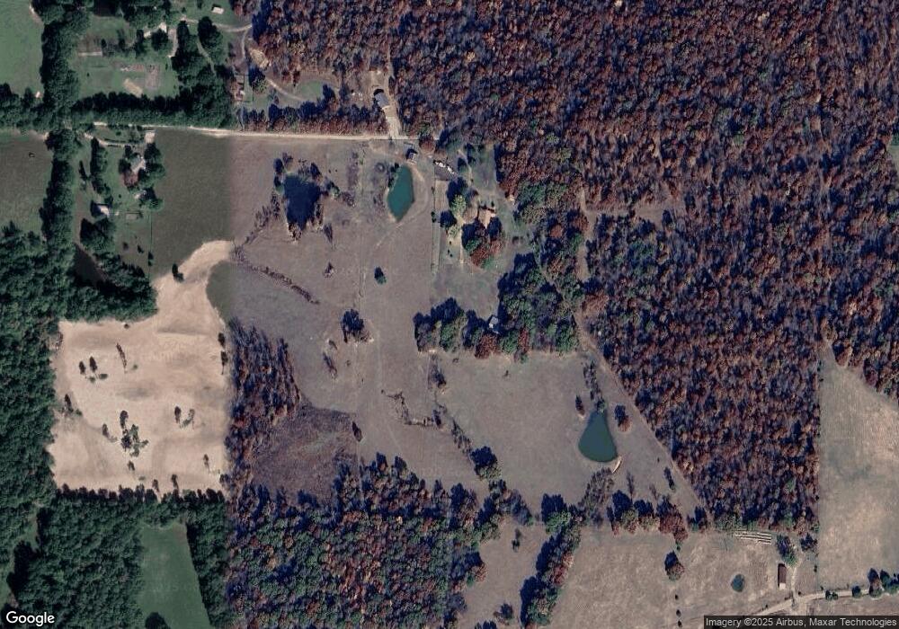
Map
Nearby Homes
- 13322 Arkansas 115
- 77 Mock St
- 152 Lentz St
- TBD Minorca Rd
- Tbd Minorca Rd Unit LotWP001
- 917 Hummingbird Trail
- 538 Fowler Rd
- 831 Ripley Ff-1
- 000 Carmickle Rd
- 449 Thompson Rd
- 70 Kenzie Trail
- 8771 Arkansas 115
- 380 Current River Trail
- 190 Current River Trail
- 2814 Ripley N-2
- 0 Spring Bay Rd
- 41 County Road 1851
- Lot 17 County Road 198
- Lot 15 County Road 198
- 43 Cheyenne Trail
- 1707 Northside Rd
- 1768 Rapert Rd
- 1728 Northside Rd
- 1542 Northside Rd
- 2041 Middlebrook Rd
- 1043 Middlebrook Rd Unit M-L
- 2251 Middlebrook Rd
- 2120 Middlebrook Rd
- 2064 Middlebrook Rd
- 2435 Middlebrook Rd
- 1878 Middlebrook Rd
- 1131 Rapert Rd
- 2017 Rapert Rd
- 2486 Middlebrook Rd
- 959 Northside Rd
- 89 Mile Rd
- 1008 Northside Rd
- 522 Malone Rd
- 865 Northside Rd
- 2749 Middlebrook Rd
Your Personal Tour Guide
Ask me questions while you tour the home.