Estimated Value: $539,000 - $629,061
3
Beds
4
Baths
3,040
Sq Ft
$190/Sq Ft
Est. Value
About This Home
This home is located at 1665 S Wapakoneta Rd, Lima, OH 45805 and is currently estimated at $576,515, approximately $189 per square foot. 1665 S Wapakoneta Rd is a home located in Allen County with nearby schools including Maplewood Elementary School, Elmwood Elementary School, and Shawnee Middle School.
Ownership History
Date
Name
Owned For
Owner Type
Purchase Details
Closed on
Apr 6, 2013
Sold by
Sullivan Mark S O and Sullivan Caterina N O
Bought by
Fridley Mark S and Fridley Denise R
Current Estimated Value
Home Financials for this Owner
Home Financials are based on the most recent Mortgage that was taken out on this home.
Original Mortgage
$228,000
Outstanding Balance
$161,155
Interest Rate
3.5%
Mortgage Type
Future Advance Clause Open End Mortgage
Estimated Equity
$415,360
Purchase Details
Closed on
May 10, 2006
Sold by
Perrine Ronald J
Bought by
Osullivan Mark S and Osullivan Caterina N
Purchase Details
Closed on
May 9, 2001
Sold by
Proctor Max R
Bought by
Perrine Ronald and Perrine Cheryl
Home Financials for this Owner
Home Financials are based on the most recent Mortgage that was taken out on this home.
Original Mortgage
$274,500
Interest Rate
6.99%
Mortgage Type
New Conventional
Purchase Details
Closed on
Nov 20, 1989
Bought by
Proctor Max R
Create a Home Valuation Report for This Property
The Home Valuation Report is an in-depth analysis detailing your home's value as well as a comparison with similar homes in the area
Home Values in the Area
Average Home Value in this Area
Purchase History
| Date | Buyer | Sale Price | Title Company |
|---|---|---|---|
| Fridley Mark S | $285,000 | None Available | |
| Osullivan Mark S | $345,000 | None Available | |
| Perrine Ronald | $305,000 | -- | |
| Proctor Max R | $17,000 | -- |
Source: Public Records
Mortgage History
| Date | Status | Borrower | Loan Amount |
|---|---|---|---|
| Open | Fridley Mark S | $228,000 | |
| Previous Owner | Perrine Ronald | $274,500 |
Source: Public Records
Tax History Compared to Growth
Tax History
| Year | Tax Paid | Tax Assessment Tax Assessment Total Assessment is a certain percentage of the fair market value that is determined by local assessors to be the total taxable value of land and additions on the property. | Land | Improvement |
|---|---|---|---|---|
| 2024 | $8,936 | $177,210 | $37,910 | $139,300 |
| 2023 | $7,593 | $131,250 | $28,070 | $103,180 |
| 2022 | $7,552 | $131,250 | $28,070 | $103,180 |
| 2021 | $7,606 | $131,250 | $28,070 | $103,180 |
| 2020 | $5,731 | $115,220 | $32,760 | $82,460 |
| 2019 | $5,731 | $115,220 | $32,760 | $82,460 |
| 2018 | $5,516 | $115,220 | $32,760 | $82,460 |
| 2017 | $5,348 | $104,480 | $32,760 | $71,720 |
| 2016 | $5,192 | $104,480 | $32,760 | $71,720 |
| 2015 | $5,192 | $104,480 | $32,760 | $71,720 |
| 2014 | $5,004 | $99,860 | $32,100 | $67,760 |
| 2013 | $5,526 | $112,290 | $32,100 | $80,190 |
Source: Public Records
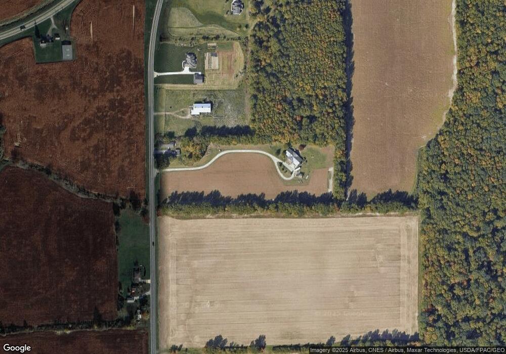
Map
Nearby Homes
- 845 Atalan Trail
- 4875 Wenatchi Trail
- 1340 Wonderlick Rd
- 4803 Kitamat Trail
- 550 Tonkawa Trail
- 1911 Wonderlick Rd
- 1069 S Kemp Rd
- 4211 Fort Amanda Rd
- 0 Colonial Ln
- 251 Timberfield Dr N
- 4475 Wintergreen Dr
- 200 Fraunfelter Rd S
- 3128 Clifford Dr
- 1440 Riverview Dr
- 1446 Adak Ave
- 3410 Greens Rd
- 1424 Loch Loman Way
- 2529 Struthmore Dr
- 115 Lanes End
- 2320 London Dr
- 1645 S Wapakoneta Rd
- 1725 S Wapak Rd
- 1465 S Wapakoneta Rd
- 1555 S Wapakoneta Rd
- 1606 S Wapakoneta Rd
- 1604 S Wapakoneta Rd
- 0 S Wapak Rd
- 1774 S Wapakoneta Rd
- 1447 S Wapakoneta Rd
- 1790 S Wapakoneta Rd
- 1820 S Wapakoneta Rd
- 5313 Spencerville Rd
- 1440 S Wapakoneta Rd
- 1355 S Wapakoneta Rd
- 1355 S Wapak Rd
- 5222 Spencerville Rd
- 5533 Spencerville Rd