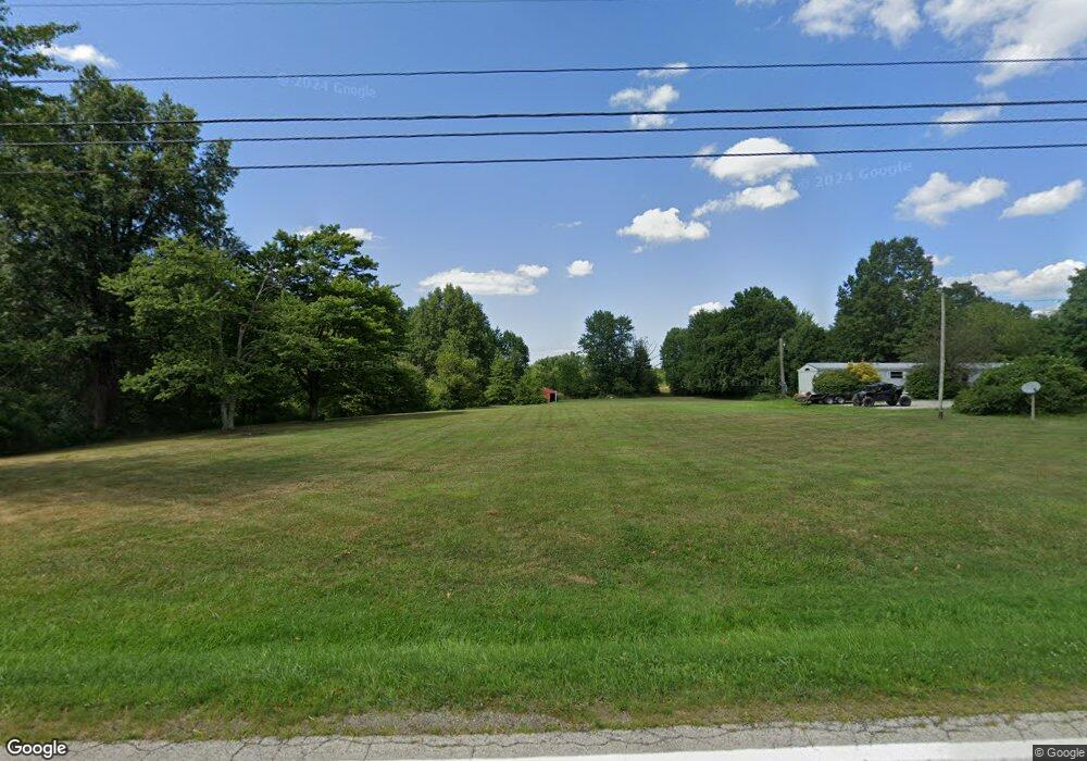
16650 S Range Rd Beloit, OH 44609
Estimated Value: $228,533 - $562,000
3
Beds
1
Bath
1,488
Sq Ft
$242/Sq Ft
Est. Value
About This Home
This home is located at 16650 S Range Rd, Beloit, OH 44609 and is currently estimated at $360,178, approximately $242 per square foot. 16650 S Range Rd is a home located in Mahoning County with nearby schools including West Branch Middle School and West Branch High School.
Ownership History
Date
Name
Owned For
Owner Type
Purchase Details
Closed on
Aug 8, 1986
Bought by
Hough Gary D and Hough Patricia A
Current Estimated Value
Create a Home Valuation Report for This Property
The Home Valuation Report is an in-depth analysis detailing your home's value as well as a comparison with similar homes in the area
Purchase History
| Date | Buyer | Sale Price | Title Company |
|---|---|---|---|
| Hough Gary D | $45,000 | -- |
Source: Public Records
Tax History
| Year | Tax Paid | Tax Assessment Tax Assessment Total Assessment is a certain percentage of the fair market value that is determined by local assessors to be the total taxable value of land and additions on the property. | Land | Improvement |
|---|---|---|---|---|
| 2024 | $2,291 | $69,500 | $16,240 | $53,260 |
| 2023 | $2,212 | $69,500 | $16,240 | $53,260 |
| 2022 | $1,754 | $48,990 | $14,210 | $34,780 |
| 2021 | $1,704 | $48,990 | $14,210 | $34,780 |
| 2020 | $1,711 | $48,990 | $14,210 | $34,780 |
| 2019 | $1,462 | $41,170 | $14,210 | $26,960 |
| 2018 | $1,456 | $41,170 | $14,210 | $26,960 |
| 2017 | $1,491 | $41,170 | $14,210 | $26,960 |
| 2016 | $1,529 | $42,840 | $15,880 | $26,960 |
| 2015 | $1,486 | $42,840 | $15,880 | $26,960 |
| 2014 | $1,494 | $42,840 | $15,880 | $26,960 |
| 2013 | $1,488 | $42,840 | $15,880 | $26,960 |
Source: Public Records
Map
Nearby Homes
- 17325 5th St
- 15551 W Calla Rd
- 18061 Derr Ave
- 18 Boxwood Dr
- 11 Redwood St
- 57 Redwood St
- 73 Redwood St
- 14355 W Middletown Rd
- 726 N 12th St
- 1005 N 13th St
- 455 E Ohio Ave
- 345 E Indiana Ave
- 0 W Nevada Ave Unit 5181868
- 0 Diagonal Rd Unit 5185268
- 245 E Maryland Ave
- 14831 Smith Goshen Rd
- 154 W Nevada Ave Unit 154
- 157 E Ohio Ave
- 0 16th St Unit 5159092
- 14930 S Pricetown Rd
- 16708 S Range Rd
- 16721 S Range Rd
- 12090 Malmsberry Rd
- 16792 S Range Rd
- 16488 S Range Rd Unit W
- 16485 W South Range Rd
- 16485 S Range Rd
- 16400 S Range Rd
- 11957 Smith Goshen Rd
- 11889 Smith Goshen Rd
- 11991 Smith Goshen Rd
- 17056 S Range Rd
- 11712 Smith Goshen Rd
- 16139 S Range Rd Unit W
- 16122 S Range Rd
- 11548 Smith Goshen Rd
- 11599 Smith Goshen Rd
- 11600 Smith Goshen Rd
- 12450 Malmsberry Rd
- 12720 Smith Goshen Rd
