G
Seller's Agent in 2019
Gary Tingey
Alpine Real Estate
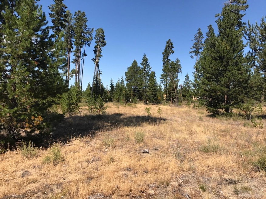
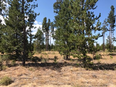
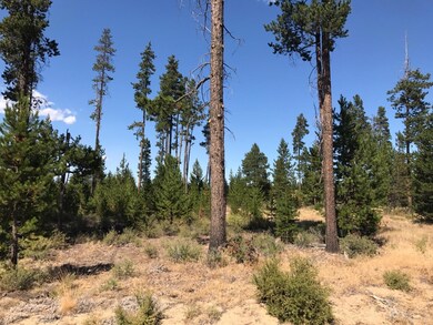
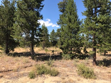
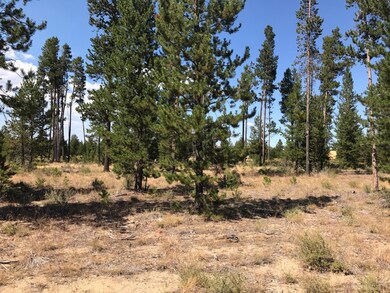
Many Possibilities for this 1.23 Acre Lot in City Limits. Utilities are to the street. Owner will Carry. May be zoned for Single Family or Multi Family Residential. Buyer to perform all Due Diligence with City and County.
Last Agent to Sell the Property
Tisha Anderson
Dennis Haniford's Cascade Realty License #200602394 Listed on: 01/24/2017
Last Buyer's Agent
Gary Tingey
Alpine Real Estate License #200802192
| Date | Event | Price | Change | Sq Ft Price |
|---|---|---|---|---|
| 08/26/2019 08/26/19 | Sold | $54,900 | 0.0% | -- |
| 06/11/2019 06/11/19 | Pending | -- | -- | -- |
| 06/04/2019 06/04/19 | For Sale | $54,900 | +22.0% | -- |
| 10/02/2017 10/02/17 | Sold | $45,000 | -30.8% | -- |
| 09/18/2017 09/18/17 | Pending | -- | -- | -- |
| 01/23/2017 01/23/17 | For Sale | $65,000 | -- | -- |
G
Seller's Agent in 2019
Gary Tingey
Alpine Real Estate

Buyer's Agent in 2019
DeAnna Davis
RE/MAX
(541) 390-8631
2 in this area
47 Total Sales
T
Seller's Agent in 2017
Tisha Anderson
Dennis Haniford's Cascade Realty
Source: Oregon Datashare
MLS Number: 201700353
Disclaimer: Certain information contained herein is derived from information provided by parties other than Homes.com. All information provided is deemed reliable, but is not guaranteed to be accurate and should be independently verified.
![]() © 2025 Oregon Datashare (KCAR | MLSCO | SOMLS). All rights reserved. The data relating to real estate for sale on this web site comes in part from the Internet Data Exchange Program of the Oregon Datashare. Real estate listings held by IDX Brokerage firms other than Ten-X are marked with the Internet Data Exchange logo or the Internet Data Exchange thumbnail logo and detailed information about them includes the name of the listing Brokers. Information provided is for consumers' personal, non-commercial use and may not be used for any purpose other than to identify prospective properties the viewer may be interested in purchasing. The consumer will not copy, retransmit nor redistribute any of the content from this website. Information provided is deemed reliable, but not guaranteed.
© 2025 Oregon Datashare (KCAR | MLSCO | SOMLS). All rights reserved. The data relating to real estate for sale on this web site comes in part from the Internet Data Exchange Program of the Oregon Datashare. Real estate listings held by IDX Brokerage firms other than Ten-X are marked with the Internet Data Exchange logo or the Internet Data Exchange thumbnail logo and detailed information about them includes the name of the listing Brokers. Information provided is for consumers' personal, non-commercial use and may not be used for any purpose other than to identify prospective properties the viewer may be interested in purchasing. The consumer will not copy, retransmit nor redistribute any of the content from this website. Information provided is deemed reliable, but not guaranteed.