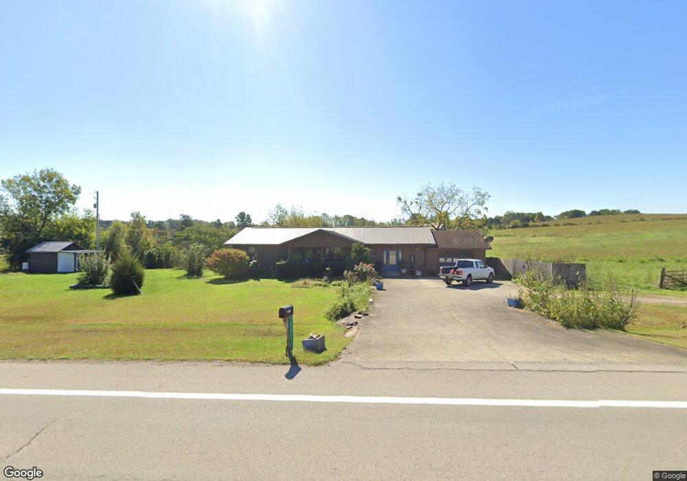
16655 State Route 125 West Union, OH 45693
Estimated Value: $114,091 - $183,000
3
Beds
1
Bath
1,080
Sq Ft
$131/Sq Ft
Est. Value
About This Home
This home is located at 16655 State Route 125, West Union, OH 45693 and is currently estimated at $141,023, approximately $130 per square foot. 16655 State Route 125 is a home located in Adams County with nearby schools including West Union Elementary School and West Union High School.
Ownership History
Date
Name
Owned For
Owner Type
Purchase Details
Closed on
Apr 24, 2012
Sold by
National Bank Of Adams County An Ohio Co
Bought by
Setty Lorena M
Current Estimated Value
Purchase Details
Closed on
Mar 16, 2011
Sold by
Setty Lorena May
Bought by
Bryant Loretta S
Purchase Details
Closed on
Apr 15, 1975
Bought by
Hayslip Ray
Create a Home Valuation Report for This Property
The Home Valuation Report is an in-depth analysis detailing your home's value as well as a comparison with similar homes in the area
Home Values in the Area
Average Home Value in this Area
Purchase History
| Date | Buyer | Sale Price | Title Company |
|---|---|---|---|
| Setty Lorena M | $48,000 | None Available | |
| Bryant Loretta S | -- | None Available | |
| Hayslip Ray | $2,000 | -- |
Source: Public Records
Tax History Compared to Growth
Tax History
| Year | Tax Paid | Tax Assessment Tax Assessment Total Assessment is a certain percentage of the fair market value that is determined by local assessors to be the total taxable value of land and additions on the property. | Land | Improvement |
|---|---|---|---|---|
| 2024 | $447 | $26,570 | $5,110 | $21,460 |
| 2023 | $450 | $26,570 | $5,110 | $21,460 |
| 2022 | $894 | $23,310 | $3,710 | $19,600 |
| 2021 | $851 | $23,310 | $3,710 | $19,600 |
| 2020 | $870 | $23,310 | $3,710 | $19,600 |
| 2019 | $870 | $23,310 | $3,710 | $19,600 |
| 2018 | $735 | $20,060 | $3,710 | $16,350 |
| 2017 | $723 | $20,060 | $3,710 | $16,350 |
| 2016 | $721 | $20,060 | $3,710 | $16,350 |
| 2015 | $738 | $21,220 | $3,820 | $17,400 |
| 2014 | $738 | $21,220 | $3,820 | $17,400 |
Source: Public Records
Map
Nearby Homes
- 1186 Tulip Rd
- 598 Ohio 348
- 1460 Hamilton Rd
- 189 Hamilton Rd
- 858 Randalls Run Rd
- 1011 Hafer Rd
- 1064 Hafer Rd
- 1805 Waggoner Riffle Rd
- 467 Waggoner Riffle Rd
- 2603 Cassel Run Rd
- 4702 Ohio Brush Creek Rd
- 4702 Brush Creek Rd
- 0 Blue Creek Rd
- 3380 Blue Creek Rd
- 7851 Ohio 348
- 2030 Cedar Mills Rd
- 410 Owens Rd
- 0 Coon Hollow Rd Unit 947967
- 108 Chirsdon Ln
- 405 Lookout View
- 303 Lynx Dr
- 16720 State Route 125
- 16720 State Route 125
- 219 Lynx Dr
- 16725 State Route 125
- 16725 State Route 125
- 39.7ac Mahogany Rd
- 393 Lynx Dr
- 380 Lynx Dr
- 217 Lynx Dr
- 16760 State Route 125
- 211 Lynx Dr
- 215 Lynx Dr
- 414 Lynx Dr
- 414 Lynx Dr
- 324 Lynx Dr
- 16523 State Route 125
- 220 Lynx Dr
- 445 Lynx Dr
- 16825 State Route 125