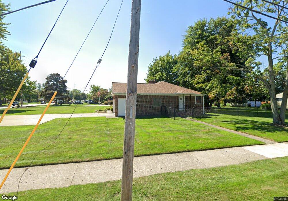
1666 Lander Rd Cleveland, OH 44124
Estimated Value: $276,000 - $312,000
3
Beds
1
Bath
1,837
Sq Ft
$159/Sq Ft
Est. Value
About This Home
This home is located at 1666 Lander Rd, Cleveland, OH 44124 and is currently estimated at $292,084, approximately $159 per square foot. 1666 Lander Rd is a home located in Cuyahoga County with nearby schools including Mayfield High School, Corpus Christi Academy, and Gilmour Academy.
Ownership History
Date
Name
Owned For
Owner Type
Purchase Details
Closed on
Aug 27, 2003
Sold by
Hood Ronald W and Hood Robin L
Bought by
Johns Thomas T and Johns Jill A
Current Estimated Value
Home Financials for this Owner
Home Financials are based on the most recent Mortgage that was taken out on this home.
Original Mortgage
$80,000
Interest Rate
5.97%
Mortgage Type
Purchase Money Mortgage
Purchase Details
Closed on
Jan 4, 1993
Sold by
Hood Adeline N
Bought by
Hood Ronald W
Purchase Details
Closed on
Jan 1, 1975
Bought by
Hood Adeline N
Create a Home Valuation Report for This Property
The Home Valuation Report is an in-depth analysis detailing your home's value as well as a comparison with similar homes in the area
Home Values in the Area
Average Home Value in this Area
Purchase History
We collect this data history from publicly available records. To have your information removed, we recommend requesting removal directly through your county’s website.
| Date | Buyer | Sale Price | Title Company |
|---|---|---|---|
| Johns Thomas T | $226,000 | Midland Title Security Inc | |
| Hood Ronald W | -- | -- | |
| Hood Adeline N | -- | -- |
Source: Public Records
Mortgage History
We collect this data history from publicly available records. To have your information removed, we recommend requesting removal directly through your county’s website.
| Date | Status | Borrower | Loan Amount |
|---|---|---|---|
| Previous Owner | Johns Thomas T | $80,000 |
Source: Public Records
Tax History
| Year | Tax Paid | Tax Assessment Tax Assessment Total Assessment is a certain percentage of the fair market value that is determined by local assessors to be the total taxable value of land and additions on the property. | Land | Improvement |
|---|---|---|---|---|
| 2025 | $6,337 | $94,500 | $21,140 | $73,360 |
| 2024 | $6,335 | $94,500 | $21,140 | $73,360 |
| 2023 | $5,435 | $76,440 | $21,490 | $54,950 |
| 2022 | $5,736 | $76,440 | $21,490 | $54,950 |
| 2021 | $5,678 | $76,440 | $21,490 | $54,950 |
| 2020 | $5,309 | $65,350 | $18,380 | $46,970 |
| 2019 | $5,149 | $186,700 | $52,500 | $134,200 |
| 2018 | $4,756 | $65,350 | $18,380 | $46,970 |
| 2017 | $4,806 | $57,120 | $17,640 | $39,480 |
| 2016 | $4,771 | $57,120 | $17,640 | $39,480 |
| 2015 | $4,341 | $57,120 | $17,640 | $39,480 |
| 2014 | $4,341 | $56,000 | $17,290 | $38,710 |
Source: Public Records
Map
Nearby Homes
- 5931 Mayberry Ave
- 1661 Chelmsford Rd
- 1722 Hawthorne Dr
- 1739 Longwood Dr
- 1766 Longwood Dr
- 1753 Temple Ave
- 1617 Fruitland Ave
- 5688 Shawnee Dr
- 5839 Alberta Dr
- 1461 Iroquois Ave
- 210 Teal Trace Unit 210
- 1663 Lyndhurst Rd
- 160 Fox Hollow Dr Unit 406D
- 1872 Bremerton Rd
- 1241 Sunset Rd
- 1715 Edgefield Rd
- 1244 W Miner Rd
- 0 Maplewood Rd
- 1234 W Miner Rd
- 240 Fox Hollow Dr Unit 309
- 1668 Lander Rd
- 1646 Lander Rd
- 5980 Marnell Ave
- 1642 Lander Rd
- 1678 Lander Rd
- 5974 Marnell Ave
- 5981 Marnell Ave
- 1657 Lander Rd
- 5977 Marnell Ave
- 1638 Lander Rd
- 5968 Marnell Ave
- 5973 Marnell Ave
- 1661 Lander Rd
- 1667 Lander Rd
- 1632 Lander Rd
- 1671 Lander Rd
- 1651 Lander Rd
- 5971 Marnell Ave
- 1645 Lander Rd
- 1675 Lander Rd
Your Personal Tour Guide
Ask me questions while you tour the home.