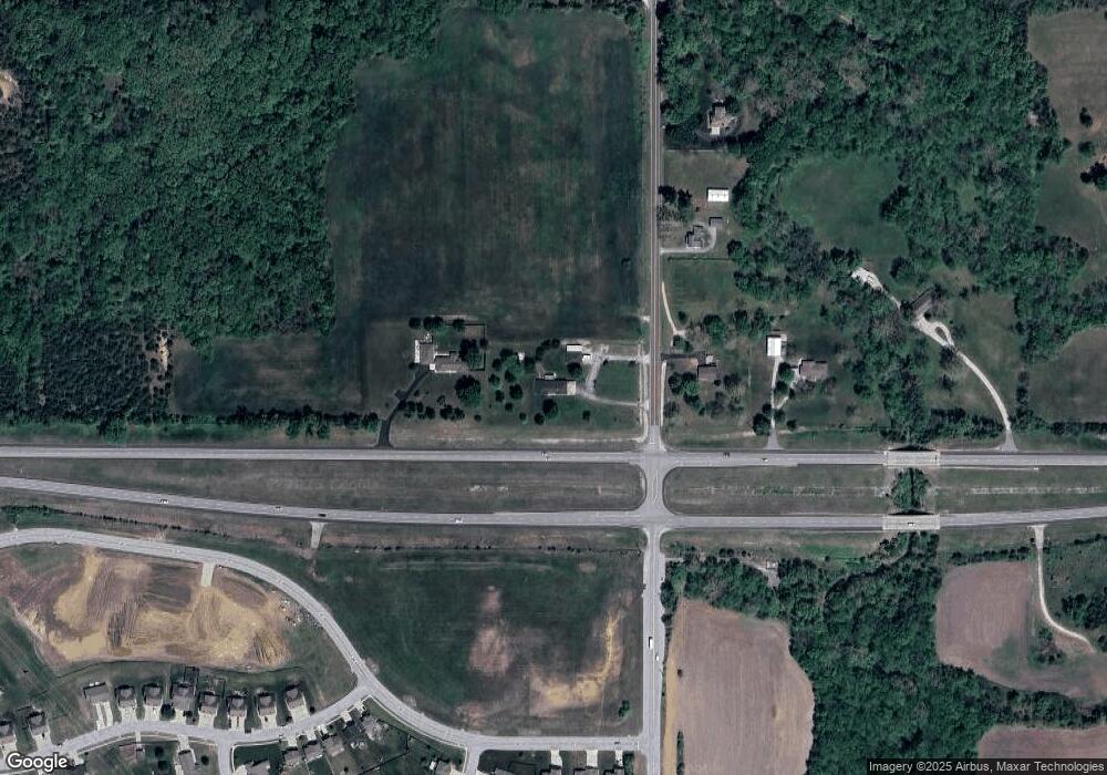
16662 State Ave Basehor, KS 66007
Estimated Value: $477,000 - $565,731
3
Beds
3
Baths
1,904
Sq Ft
$279/Sq Ft
Est. Value
About This Home
This home is located at 16662 State Ave, Basehor, KS 66007 and is currently estimated at $531,183, approximately $278 per square foot. 16662 State Ave is a home located in Leavenworth County with nearby schools including Basehor Elementary School, Basehor-Linwood Middle School, and Basehor-Linwood High School.
Ownership History
Date
Name
Owned For
Owner Type
Purchase Details
Closed on
Jun 1, 2002
Bought by
Grindel William E and Grindel Patricia J
Current Estimated Value
Home Financials for this Owner
Home Financials are based on the most recent Mortgage that was taken out on this home.
Original Mortgage
$122,000
Outstanding Balance
$51,402
Interest Rate
6.76%
Mortgage Type
New Conventional
Estimated Equity
$479,781
Create a Home Valuation Report for This Property
The Home Valuation Report is an in-depth analysis detailing your home's value as well as a comparison with similar homes in the area
Home Values in the Area
Average Home Value in this Area
Purchase History
| Date | Buyer | Sale Price | Title Company |
|---|---|---|---|
| Grindel William E | $238,000 | -- |
Source: Public Records
Mortgage History
| Date | Status | Borrower | Loan Amount |
|---|---|---|---|
| Open | Grindel William E | $122,000 |
Source: Public Records
Tax History Compared to Growth
Tax History
| Year | Tax Paid | Tax Assessment Tax Assessment Total Assessment is a certain percentage of the fair market value that is determined by local assessors to be the total taxable value of land and additions on the property. | Land | Improvement |
|---|---|---|---|---|
| 2025 | $7,241 | $63,774 | $10,966 | $52,808 |
| 2024 | $6,659 | $61,322 | $10,401 | $50,921 |
| 2023 | $6,659 | $59,251 | $9,826 | $49,425 |
| 2022 | $6,246 | $52,612 | $8,772 | $43,840 |
| 2021 | $5,198 | $44,092 | $7,208 | $36,884 |
| 2020 | $4,924 | $40,913 | $6,794 | $34,119 |
| 2019 | $4,726 | $39,458 | $6,218 | $33,240 |
| 2018 | $4,099 | $34,212 | $5,069 | $29,143 |
| 2017 | $3,976 | $33,108 | $5,069 | $28,039 |
| 2016 | $3,903 | $32,683 | $4,986 | $27,697 |
| 2015 | $3,683 | $30,972 | $4,467 | $26,505 |
| 2014 | $3,481 | $29,371 | $4,467 | $24,904 |
Source: Public Records
Map
Nearby Homes
- 16729 Pinehurst Dr
- 16721 Pinehurst Dr
- 16703 Sheehan Rd
- 935 168th St
- 1624 Grayhawk Dr
- 1555 Grayhawk Dr
- 1398 N 162nd St
- 1382 N 162 St
- 1400 163rd St
- 1422 163rd St
- 1432 163rd St
- 1380 163rd St
- 1410 163rd St
- 1608 163rd St
- 1444 163rd St
- 1591 Grayhawk Dr
- 1630 Grayhawk Dr
- 1653 Grayhawk Dr
- 1562 N 136rd St
- 1496 N 162nd Cir
- 16684 State Ave
- 18854 166th St
- 0 166th St Unit 1713695
- 0000 166th St
- 0 166th St Unit 2368716
- 16530 State Ave
- 18976 166th St
- 16605 Pinehurst Dr
- 16476 State Ave
- 0 Pinehurst Dr Unit HMS2493683
- 16609 Pinehurst Dr
- 16601 Pinehurst Dr
- 16701 Sheehan Rd
- 16700 Freeman Dr
- 16701 Freeman Dr
- 16605 Pinehurst Dr
- 16704 Sheehan Rd
- 15408 Pinehurst Dr
- 15407 Pinehurst Dr
- 15505 Pinehurst Dr
