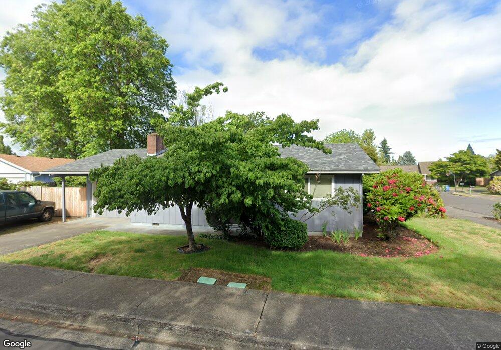
1668 Best Ln Eugene, OR 97401
Harlow NeighborhoodEstimated Value: $506,000 - $634,000
5
Beds
3
Baths
2,004
Sq Ft
$295/Sq Ft
Est. Value
About This Home
This home is located at 1668 Best Ln, Eugene, OR 97401 and is currently estimated at $591,506, approximately $295 per square foot. 1668 Best Ln is a home located in Lane County with nearby schools including Holt Elementary School, Monroe Middle School, and Sheldon High School.
Ownership History
Date
Name
Owned For
Owner Type
Purchase Details
Closed on
Nov 25, 2025
Sold by
Reck Jeffrey W and Desaulniers Debra J
Bought by
Jeffrey Reck And Debra Desaulniers Joint Revo and Reck
Current Estimated Value
Purchase Details
Closed on
Dec 26, 2023
Sold by
Montgomery Family Trust
Bought by
Reck Jeffrey W and Desaulniers Debra J
Home Financials for this Owner
Home Financials are based on the most recent Mortgage that was taken out on this home.
Original Mortgage
$300,000
Interest Rate
6.72%
Mortgage Type
New Conventional
Purchase Details
Closed on
Mar 16, 2022
Sold by
Lynn Baronti Diana
Bought by
Montgomery Family Trust
Purchase Details
Closed on
Nov 26, 2001
Sold by
Baronti Diana Lynn
Bought by
Baronti Diana Lynn
Create a Home Valuation Report for This Property
The Home Valuation Report is an in-depth analysis detailing your home's value as well as a comparison with similar homes in the area
Home Values in the Area
Average Home Value in this Area
Purchase History
| Date | Buyer | Sale Price | Title Company |
|---|---|---|---|
| Jeffrey Reck And Debra Desaulniers Joint Revo | -- | None Listed On Document | |
| Reck Jeffrey W | $585,000 | Evergreen Land Title | |
| Montgomery Family Trust | $577,000 | Western Title | |
| Baronti Diana Lynn | -- | -- |
Source: Public Records
Mortgage History
| Date | Status | Borrower | Loan Amount |
|---|---|---|---|
| Previous Owner | Reck Jeffrey W | $300,000 |
Source: Public Records
Tax History
| Year | Tax Paid | Tax Assessment Tax Assessment Total Assessment is a certain percentage of the fair market value that is determined by local assessors to be the total taxable value of land and additions on the property. | Land | Improvement |
|---|---|---|---|---|
| 2025 | $6,064 | $311,256 | -- | -- |
| 2024 | $5,989 | $302,191 | -- | -- |
| 2023 | $5,989 | $293,390 | $0 | $0 |
| 2022 | $5,611 | $284,845 | $0 | $0 |
| 2021 | $5,270 | $276,549 | $0 | $0 |
| 2020 | $5,260 | $268,495 | $0 | $0 |
| 2019 | $5,055 | $260,675 | $0 | $0 |
| 2018 | $4,530 | $245,712 | $0 | $0 |
| 2017 | $4,280 | $245,712 | $0 | $0 |
| 2016 | $4,051 | $238,555 | $0 | $0 |
| 2015 | $4,064 | $231,607 | $0 | $0 |
| 2014 | $4,040 | $224,861 | $0 | $0 |
Source: Public Records
Map
Nearby Homes
- 3090 Willakenzie Rd
- 0 Sprig Ln Unit Lot 3
- 0 Sprig Ln Unit Lot 3 766109892
- 3025 Bailey Ln
- 1491 Victorian Way
- 1564 Regency Dr
- 2577 Elysium Ave
- 1270 Calvin St
- 2420 Willona Dr
- 950 Coburg Rd
- 1038 President St
- 2611 Erin Way
- 1271 Arcadia Dr
- 2329 Willona Park
- 860 N van Duyn St
- 2423 Benson Ln
- 2645 Chuckanut St
- 825 Waverly St
- 2707 Dayna Ln
- 2267 Willona Dr
Your Personal Tour Guide
Ask me questions while you tour the home.