1668 Spruce Dr Red Wing, MN 55066
Estimated Value: $313,723 - $358,000
--
Bed
2
Baths
1,519
Sq Ft
$221/Sq Ft
Est. Value
About This Home
This home is located at 1668 Spruce Dr, Red Wing, MN 55066 and is currently estimated at $336,181, approximately $221 per square foot. 1668 Spruce Dr is a home located in Goodhue County with nearby schools including Sunnyside Elementary School, Burnside Elementary School, and Twin Bluff Middle School.
Ownership History
Date
Name
Owned For
Owner Type
Purchase Details
Closed on
Nov 27, 2023
Sold by
Lockerby Kathryn L
Bought by
Kathryn L Lockerby Revocable Trust and Lockerby
Current Estimated Value
Purchase Details
Closed on
Feb 24, 2005
Sold by
Berkeland Steven and Berkeland Judy
Bought by
Lockerby Michael J and Lockerby Kathryn L
Purchase Details
Closed on
Aug 14, 2001
Sold by
Kuglin Greg S and Kuglin Lorrie J
Bought by
Berkeland Steven and Berkeland Judy
Create a Home Valuation Report for This Property
The Home Valuation Report is an in-depth analysis detailing your home's value as well as a comparison with similar homes in the area
Home Values in the Area
Average Home Value in this Area
Purchase History
| Date | Buyer | Sale Price | Title Company |
|---|---|---|---|
| Kathryn L Lockerby Revocable Trust | $500 | None Listed On Document | |
| Lockerby Michael J | $225,000 | -- | |
| Berkeland Steven | $187,000 | -- |
Source: Public Records
Tax History
| Year | Tax Paid | Tax Assessment Tax Assessment Total Assessment is a certain percentage of the fair market value that is determined by local assessors to be the total taxable value of land and additions on the property. | Land | Improvement |
|---|---|---|---|---|
| 2025 | $4,096 | $323,200 | $47,700 | $275,500 |
| 2024 | -- | $317,900 | $47,700 | $270,200 |
| 2023 | $3,858 | $300,800 | $47,900 | $252,900 |
| 2022 | $3,530 | $293,700 | $42,700 | $251,000 |
| 2021 | $3,274 | $248,600 | $42,700 | $205,900 |
| 2020 | $3,214 | $235,200 | $42,700 | $192,500 |
| 2019 | $3,198 | $217,500 | $42,700 | $174,800 |
| 2018 | $2,548 | $218,800 | $41,000 | $177,800 |
| 2017 | $2,506 | $190,400 | $41,000 | $149,400 |
| 2016 | $2,294 | $189,600 | $41,000 | $148,600 |
| 2015 | $2,192 | $183,100 | $41,000 | $142,100 |
| 2014 | -- | $175,200 | $41,000 | $134,200 |
Source: Public Records
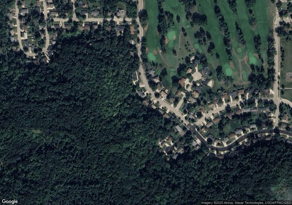
Map
Nearby Homes
- 1606 Reichert Ave
- 1108 Hawthorne St
- 1684 Siewert St
- 1020 Hawthorne St
- 1757 Cobblestone Ct
- 1828 Perlich Ave Unit 2G
- 818 Hawthorne St
- 1050 Sturtevant St
- 1330 Hillside Dr
- 1348 Hillside Dr
- 717 Blaine St
- 1528 W 6th St
- 1227 W 4th St
- 1004 College Ave
- 2345 S Oak Dr
- 1715 W 5th St
- 1738 W 6th St
- 1130 W 4th St
- 1003 Central Ave
- 910 W 4th St
- 1672 Spruce Dr
- 1664 Spruce Dr
- 1676 Spruce Dr
- 1667 Spruce Dr
- 1671 Spruce Dr
- 1654 Spruce Dr
- 1680 Spruce Dr
- 1661 Spruce Dr
- 1679 Spruce Dr
- 1651 Spruce Dr
- 1684 Spruce Dr
- 1238 Tee Up Ln
- 1238 Tee Up Path
- 1238 1238 Teeup Ln
- 1260 Foursome St
- 1264 Foursome St
- 1245 Tee Up Ln
- 1698 Spruce Dr
- 1232 Tee Up Ln
- 1239 Tee Up Ln
Your Personal Tour Guide
Ask me questions while you tour the home.