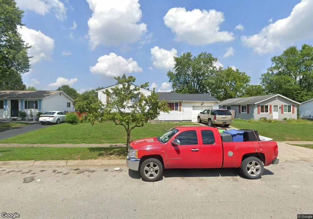
1669 Ripplebrook Rd Columbus, OH 43223
Riverbend NeighborhoodEstimated Value: $183,000 - $233,000
4
Beds
2
Baths
1,136
Sq Ft
$193/Sq Ft
Est. Value
About This Home
This home is located at 1669 Ripplebrook Rd, Columbus, OH 43223 and is currently estimated at $218,765, approximately $192 per square foot. 1669 Ripplebrook Rd is a home located in Franklin County with nearby schools including James A Harmon Elementary School, Franklin Woods Intermediate School, and Finland Middle School.
Ownership History
Date
Name
Owned For
Owner Type
Purchase Details
Closed on
Jun 20, 2011
Sold by
Carte Charles L and Carte Velta L
Bought by
Morris Jeffrey B and Morris Angela L
Current Estimated Value
Purchase Details
Closed on
Sep 26, 2003
Sold by
Carte Charles L and Carte Velta L
Bought by
Carte Charles L and Carte Velta L
Purchase Details
Closed on
Jun 9, 1971
Bought by
Carte Charles L
Create a Home Valuation Report for This Property
The Home Valuation Report is an in-depth analysis detailing your home's value as well as a comparison with similar homes in the area
Home Values in the Area
Average Home Value in this Area
Purchase History
| Date | Buyer | Sale Price | Title Company |
|---|---|---|---|
| Morris Jeffrey B | $70,000 | Valmer Land | |
| Carte Charles L | -- | -- | |
| Carte Charles L | -- | -- |
Source: Public Records
Tax History
| Year | Tax Paid | Tax Assessment Tax Assessment Total Assessment is a certain percentage of the fair market value that is determined by local assessors to be the total taxable value of land and additions on the property. | Land | Improvement |
|---|---|---|---|---|
| 2025 | $2,582 | $69,030 | $16,560 | $52,470 |
| 2024 | $2,582 | $69,030 | $16,560 | $52,470 |
| 2023 | $2,749 | $69,030 | $16,560 | $52,470 |
| 2022 | $2,217 | $44,280 | $10,120 | $34,160 |
| 2021 | $2,262 | $44,280 | $10,120 | $34,160 |
| 2020 | $2,572 | $44,280 | $10,120 | $34,160 |
| 2019 | $2,102 | $36,480 | $8,440 | $28,040 |
| 2018 | $1,046 | $36,480 | $8,440 | $28,040 |
| 2017 | $2,085 | $36,480 | $8,440 | $28,040 |
| 2016 | $1,957 | $31,440 | $5,220 | $26,220 |
| 2015 | $978 | $31,440 | $5,220 | $26,220 |
| 2014 | $1,958 | $31,440 | $5,220 | $26,220 |
| 2013 | $1,078 | $34,895 | $5,775 | $29,120 |
Source: Public Records
Map
Nearby Homes
- 1657 Ripplebrook Rd
- 3407 Western Hill Rd
- 1605 Greenville Rd
- 3206 Andy Terrace
- 1641 Greenville Rd
- 3438 High Creek Dr
- 1490 Demorest Rd
- 3586 Alkire Rd
- 1830 Winding Hollow Dr
- 2800 Alkire Rd
- 1341 S Hague Ave
- 2112 Sondra Ln
- 1380 Sunflower Dr
- 2937 Rundell Dr
- 3664-3670 Mccarley Dr S
- 2975 Crocker Run Rd
- 3017 Moyer Ln
- 0 Glencreek Rd
- 2309 Brookbank Dr
- 2856 Chesfield Dr
- 1663 Ripplebrook Rd
- 1675 Ripplebrook Rd
- 1676 Regents Hill Dr
- 1670 Regents Hill Dr
- 1651 Ripplebrook Rd
- 1674 Westwind Ln
- 1681 Westwind Ln
- 1680 Ripplebrook Rd
- 1656 Regents Hill Dr
- 1680 Westwind Ln
- 1645 Ripplebrook Rd
- 1686 Ripplebrook Rd
- 1648 Regents Hill Dr
- 1658 Ripplebrook Rd
- 1692 Ripplebrook Rd
- 1689 Westwind Ln
- 1686 Westwind Ln
- 1640 Regents Hill Dr
- 1633 Bluhm Rd
- 1675 Regents Hill Dr
Your Personal Tour Guide
Ask me questions while you tour the home.