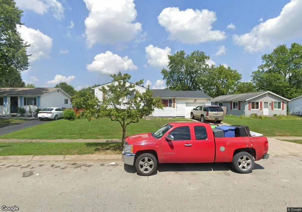
1669 Ripplebrook Rd Columbus, OH 43223
Riverbend NeighborhoodEstimated Value: $220,000 - $228,000
About This Home
This home is located at 1669 Ripplebrook Rd, Columbus, OH 43223 and is currently estimated at $222,969, approximately $196 per square foot. 1669 Ripplebrook Rd is a home located in Franklin County with nearby schools including James A Harmon Elementary School, Franklin Woods Intermediate School, and Finland Middle School.
Ownership History
We collect this data history from publicly available records. To have your information removed, we recommend requesting removal directly through your county’s website.
Purchase Details
Purchase Details
Purchase Details
Home Values in the Area
Average Home Value in this Area
Purchase History
We collect this data history from publicly available records. To have your information removed, we recommend requesting removal directly through your county’s website.
| Date | Buyer | Sale Price | Title Company |
|---|---|---|---|
| $70,000 | Valmer Land | ||
| -- | -- | ||
| -- | -- |
Tax History
We collect this data history from publicly available records. To have your information removed, we recommend requesting removal directly through your county’s website.
| Year | Tax Paid | Tax Assessment Tax Assessment Total Assessment is a certain percentage of the fair market value that is determined by local assessors to be the total taxable value of land and additions on the property. | Land | Improvement |
|---|---|---|---|---|
| 2025 | $2,582 | $69,030 | $16,560 | $52,470 |
| 2024 | $2,582 | $69,030 | $16,560 | $52,470 |
| 2023 | $2,749 | $69,030 | $16,560 | $52,470 |
| 2022 | $2,217 | $44,280 | $10,120 | $34,160 |
| 2021 | $2,262 | $44,280 | $10,120 | $34,160 |
| 2020 | $2,572 | $44,280 | $10,120 | $34,160 |
| 2019 | $2,102 | $36,480 | $8,440 | $28,040 |
| 2018 | $1,046 | $36,480 | $8,440 | $28,040 |
| 2017 | $2,085 | $36,480 | $8,440 | $28,040 |
| 2016 | $1,957 | $31,440 | $5,220 | $26,220 |
| 2015 | $978 | $31,440 | $5,220 | $26,220 |
| 2014 | $1,958 | $31,440 | $5,220 | $26,220 |
| 2013 | $1,078 | $34,895 | $5,775 | $29,120 |
Map
- 1705 Ripplebrook Rd
- 1684 Hollow Run Dr
- 3465 Royal Hill Dr
- 3211 Andy Terrace
- 1745 Rivermont Rd
- 3481 High Creek Dr
- 3671 Brookline Ave
- 1791 Flinthill Dr
- 3586 Alkire Rd
- 1453 Demorest Rd
- 3250 Darracq Cir
- 1830 Winding Hollow Dr
- 3600 Bluff Gap Dr
- 1518 Riverbend Rd
- 3374 Brook Spring Dr
- 3116 Musket Ridge Dr
- 2927 Southfield Village Dr Unit R
- 1831 Creekside Dr
- 2121 Staghorn Way
- 2955 Daisy Ln
- 1663 Ripplebrook Rd
- 1651 Ripplebrook Rd
- 1675 Ripplebrook Rd
- 1674 Westwind Ln
- 1645 Ripplebrook Rd
- 1681 Westwind Ln
- 1658 Ripplebrook Rd
- 1680 Westwind Ln
- 1670 Regents Hill Dr
- 1676 Regents Hill Dr
- 1680 Ripplebrook Rd
- 1656 Regents Hill Dr
- 1633 Bluhm Rd
- 1686 Westwind Ln
- 1648 Regents Hill Dr
- 1686 Ripplebrook Rd
- 1689 Westwind Ln
- 1637 Bluhm Rd
- 1640 Regents Hill Dr
- 1622 Bluhm Rd
Ask me questions while you tour the home.