16697 Don McAllister Rd Pea Ridge, AR 72751
Estimated Value: $316,000 - $623,147
--
Bed
1
Bath
2,536
Sq Ft
$210/Sq Ft
Est. Value
About This Home
This home is located at 16697 Don McAllister Rd, Pea Ridge, AR 72751 and is currently estimated at $531,787, approximately $209 per square foot. 16697 Don McAllister Rd is a home located in Benton County with nearby schools including Pea Ridge Primary School, Pea Ridge Intermediate School, and Pea Ridge Junior High School.
Ownership History
Date
Name
Owned For
Owner Type
Purchase Details
Closed on
Sep 29, 2000
Bought by
Dod 09-29-2000
Current Estimated Value
Purchase Details
Closed on
Feb 24, 1989
Bought by
Williams
Purchase Details
Closed on
Mar 10, 1986
Bought by
Mcallister
Purchase Details
Closed on
Dec 17, 1985
Bought by
Dod 12-17-1985
Create a Home Valuation Report for This Property
The Home Valuation Report is an in-depth analysis detailing your home's value as well as a comparison with similar homes in the area
Home Values in the Area
Average Home Value in this Area
Purchase History
| Date | Buyer | Sale Price | Title Company |
|---|---|---|---|
| Dod 09-29-2000 | -- | -- | |
| Williams | -- | -- | |
| Mcallister | $75,000 | -- | |
| Dod 12-17-1985 | -- | -- |
Source: Public Records
Tax History Compared to Growth
Tax History
| Year | Tax Paid | Tax Assessment Tax Assessment Total Assessment is a certain percentage of the fair market value that is determined by local assessors to be the total taxable value of land and additions on the property. | Land | Improvement |
|---|---|---|---|---|
| 2025 | $1,937 | $70,552 | $24,923 | $45,629 |
| 2024 | $1,862 | $70,552 | $24,923 | $45,629 |
| 2023 | $1,781 | $48,000 | $12,160 | $35,840 |
| 2022 | $1,498 | $48,000 | $12,160 | $35,840 |
| 2021 | $1,493 | $48,000 | $12,160 | $35,840 |
| 2020 | $1,555 | $37,670 | $7,350 | $30,320 |
| 2019 | $1,555 | $37,670 | $7,350 | $30,320 |
| 2018 | $1,120 | $29,420 | $7,350 | $22,070 |
| 2017 | $1,029 | $29,630 | $7,560 | $22,070 |
| 2016 | $1,029 | $29,630 | $7,560 | $22,070 |
| 2015 | $1,349 | $26,000 | $7,670 | $18,330 |
| 2014 | $1,003 | $26,000 | $7,670 | $18,330 |
Source: Public Records
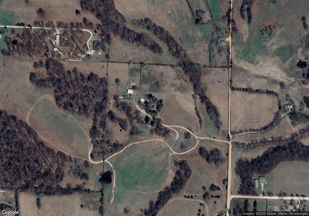
Map
Nearby Homes
- 10890 Gates Ln
- 20.74 Acres N Highway 94
- 8.23 AC N Highway 94
- 17155 Deer Park Ln
- 17233 White Oak Ridge Rd
- 2720 Murphy St
- 2721 Kane St
- 2716 Kane St
- 2821 Evans St
- 2824 Evans St
- 2705 Kane St
- 2700 Kane St
- 2704 Kane St
- 2812 Kane St
- 2652 Reynolds St
- 2741 Biddie St
- RC Carnegie II Plan at Walnut Hill
- RC Coleman Plan at Walnut Hill
- RC Glenwood Plan at Walnut Hill
- RC Foster II Plan at Walnut Hill
- 16697 Don McAllister Rd
- 16673 Don McAllister Rd
- 16848 White Oak Ridge Rd
- 16815 Don McAllister Rd
- 16815 Don McAllister Rd
- 16846 White Oak Ridge Rd
- 16694 Don McAllister Rd
- 16486 Don McAllister Rd
- 16824 White Oak Ridge Rd
- 16824 White Oak Ridge Rd
- -- White Oak Ridge
- 0 White Oak Ridge Rd Unit 703040
- 0 White Oak Ridge Rd Unit 1002027
- 10883 Gates Ln
- 16438 Don McAllister Rd
- 16552 White Oak Ridge Rd
- 16990 Don McAllister Rd
- 16795 White Oak Ridge Rd
- 16681 White Oak Ridge Rd
- 17000 White Oak Ridge Rd