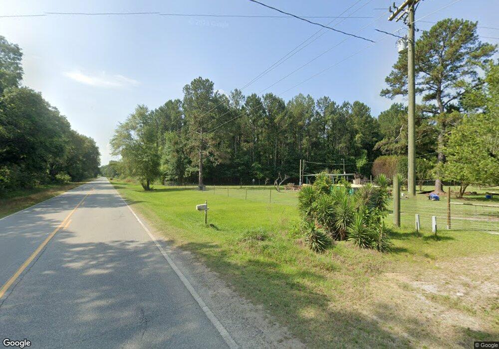
167 Elham Rd Moultrie, GA 31788
Estimated Value: $93,000 - $151,000
--
Bed
2
Baths
912
Sq Ft
$125/Sq Ft
Est. Value
About This Home
This home is located at 167 Elham Rd, Moultrie, GA 31788 and is currently estimated at $113,834, approximately $124 per square foot. 167 Elham Rd is a home located in Colquitt County with nearby schools including Sunset Elementary School, Willie J. Williams Middle School, and C.A. Gray Junior High School.
Ownership History
Date
Name
Owned For
Owner Type
Purchase Details
Closed on
Feb 15, 2008
Sold by
Tillman Thomas M
Bought by
Cummings Larry
Current Estimated Value
Home Financials for this Owner
Home Financials are based on the most recent Mortgage that was taken out on this home.
Original Mortgage
$78,508
Outstanding Balance
$48,396
Interest Rate
5.63%
Mortgage Type
New Conventional
Estimated Equity
$65,438
Purchase Details
Closed on
Mar 26, 1984
Bought by
Cummings Larry S
Create a Home Valuation Report for This Property
The Home Valuation Report is an in-depth analysis detailing your home's value as well as a comparison with similar homes in the area
Home Values in the Area
Average Home Value in this Area
Purchase History
| Date | Buyer | Sale Price | Title Company |
|---|---|---|---|
| Cummings Larry | -- | -- | |
| Cummings Larry S | $10,000 | -- |
Source: Public Records
Mortgage History
| Date | Status | Borrower | Loan Amount |
|---|---|---|---|
| Open | Cummings Larry | $78,508 |
Source: Public Records
Tax History Compared to Growth
Tax History
| Year | Tax Paid | Tax Assessment Tax Assessment Total Assessment is a certain percentage of the fair market value that is determined by local assessors to be the total taxable value of land and additions on the property. | Land | Improvement |
|---|---|---|---|---|
| 2024 | $706 | $36,155 | $11,983 | $24,172 |
| 2023 | $529 | $27,129 | $11,983 | $15,146 |
| 2022 | $481 | $25,110 | $10,652 | $14,458 |
| 2021 | $487 | $25,048 | $10,652 | $14,396 |
| 2020 | $477 | $24,311 | $10,652 | $13,659 |
| 2019 | $617 | $24,434 | $10,652 | $13,782 |
| 2018 | $625 | $24,434 | $10,652 | $13,782 |
| 2017 | $755 | $29,728 | $15,946 | $13,782 |
| 2016 | -- | $29,728 | $15,946 | $13,782 |
| 2015 | -- | $29,727 | $15,946 | $13,782 |
| 2014 | -- | $29,727 | $15,946 | $13,782 |
| 2013 | -- | $0 | $0 | $0 |
Source: Public Records
Map
Nearby Homes
- 0 Upper Trail Unit 913421
- 0 Upper Trail Unit 913422
- 182 Horseshoe Dr
- 313 Langford St
- 5808 Georgia 133
- 16343 Georgia 33
- 16343 Ga Hwy 33 -8 34 Acres
- 16343
- 0 Southerland Ave
- 410 Railroad St
- 16343 Ga Hwy 33 - 8 34 Acres Hwy
- 2262 Sardis Church Rd
- 124 Flint Dr
- 9283 Tallokas Rd Unit 54/13
- 9283 Tallokas Rd
- 277 Indian Creek Subdivision
- 48 Packer Pride Dr SE
- 65 Packer Pride Dr SE
- 114 Baell Trace Ct SE
- 16 Francine Way SE
- 6406 Tallokas Rd
- 136 Elham Rd
- 6472 Tallokas Rd
- 6488C Tallokas Rd
- 6488 Tallokas Rd
- 6342 Tallokas Rd
- 279 Elham Rd
- 6548 Tallokas Rd
- 6525 Tallokas Rd
- 2499 Cook Rd
- 6290 Tallokas Rd
- 2433 Cook Rd
- 297 Elham Rd
- 6627 Tallokas Rd
- 518 Rosencrantz Rd
- 6155 Tallokas Rd
- 497 Rosencrantz Rd
- 550 Rosencrantz Rd
- 566 Rosencrantz Rd
- 162 Crumb Rd