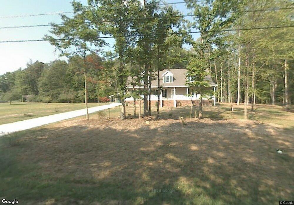
167 Hemlock St Mocksville, NC 27028
Estimated Value: $200,000 - $262,000
3
Beds
2
Baths
1,596
Sq Ft
$151/Sq Ft
Est. Value
About This Home
This home is located at 167 Hemlock St, Mocksville, NC 27028 and is currently estimated at $240,333, approximately $150 per square foot. 167 Hemlock St is a home located in Davie County with nearby schools including Mocksville Elementary School, South Davie Middle, and Davie County High School.
Ownership History
Date
Name
Owned For
Owner Type
Purchase Details
Closed on
Feb 28, 2020
Sold by
Routh Donald Wayne and Routh Mary Blair
Bought by
Routh Donald Wayne and Routh Mary Blair
Current Estimated Value
Purchase Details
Closed on
Feb 20, 2020
Sold by
Routh Donald Wayne and Routh Mary Blair
Bought by
Routh Stephen Wayne and Routh Mary Elizabeth
Purchase Details
Closed on
May 4, 2006
Sold by
Westmoreland Grady and Westmoreland Betty
Bought by
Routh Donald W and Routh Mary Blair
Purchase Details
Closed on
Nov 1, 2004
Purchase Details
Closed on
May 1, 1984
Create a Home Valuation Report for This Property
The Home Valuation Report is an in-depth analysis detailing your home's value as well as a comparison with similar homes in the area
Home Values in the Area
Average Home Value in this Area
Purchase History
| Date | Buyer | Sale Price | Title Company |
|---|---|---|---|
| Routh Donald Wayne | -- | None Available | |
| Routh Stephen Wayne | $2,000 | None Available | |
| Routh Donald W | $20,000 | -- | |
| -- | -- | -- | |
| -- | -- | -- |
Source: Public Records
Tax History
| Year | Tax Paid | Tax Assessment Tax Assessment Total Assessment is a certain percentage of the fair market value that is determined by local assessors to be the total taxable value of land and additions on the property. | Land | Improvement |
|---|---|---|---|---|
| 2025 | $2,373 | $242,470 | $18,000 | $224,470 |
| 2024 | $1,666 | $156,680 | $12,500 | $144,180 |
| 2023 | $1,666 | $156,680 | $12,500 | $144,180 |
| 2022 | $1,666 | $156,680 | $12,500 | $144,180 |
| 2021 | $1,666 | $156,680 | $12,500 | $144,180 |
| 2020 | $1,601 | $149,890 | $12,500 | $137,390 |
| 2019 | $1,601 | $149,890 | $12,500 | $137,390 |
| 2018 | $1,601 | $149,890 | $12,500 | $137,390 |
| 2017 | $1,586 | $149,890 | $0 | $0 |
| 2016 | $1,613 | $152,430 | $0 | $0 |
| 2015 | $1,613 | $152,430 | $0 | $0 |
| 2014 | $1,448 | $152,430 | $0 | $0 |
| 2013 | -- | $152,430 | $0 | $0 |
Source: Public Records
Map
Nearby Homes
- 235 Spring St
- 156 Spruce St
- 107 Hillcrest St
- 408 Pine St
- 351 Honeysuckle St
- 1 lot E Depot St
- 110 W Church St
- 112 Holman St
- 107 Charleston Ridge Dr
- 159 Ariel Ct
- 240 Tot St
- 443 S Main St
- 135 Winding Creek Rd
- 3939 U S Highway 64
- 2082 U S Highway 64 Unit 2
- 3929 U S Highway 64
- 3939 U S Highway 64 Unit 5
- 3929 U S Highway 64 Unit 7
- 109 Carriage Cove Cir
- 205 Rosewood Ln
Your Personal Tour Guide
Ask me questions while you tour the home.