167 Log Cabin Ln Blowing Rock, NC 28605
Estimated Value: $928,000 - $1,077,150
3
Beds
4
Baths
2,320
Sq Ft
$422/Sq Ft
Est. Value
About This Home
This home is located at 167 Log Cabin Ln, Blowing Rock, NC 28605 and is currently estimated at $978,288, approximately $421 per square foot. 167 Log Cabin Ln is a home with nearby schools including Blowing Rock Elementary School and Watauga High School.
Ownership History
Date
Name
Owned For
Owner Type
Purchase Details
Closed on
Jul 22, 2019
Sold by
Lovingood Leslie and Lovingood Charles Gordon
Bought by
Lovingood Charles Gordon
Current Estimated Value
Home Financials for this Owner
Home Financials are based on the most recent Mortgage that was taken out on this home.
Original Mortgage
$450,000
Interest Rate
3.75%
Mortgage Type
Construction
Purchase Details
Closed on
Nov 20, 2012
Sold by
Lovingood Charles Gordon
Bought by
Lovingood Leslie
Create a Home Valuation Report for This Property
The Home Valuation Report is an in-depth analysis detailing your home's value as well as a comparison with similar homes in the area
Home Values in the Area
Average Home Value in this Area
Purchase History
| Date | Buyer | Sale Price | Title Company |
|---|---|---|---|
| Lovingood Charles Gordon | -- | None Available | |
| Lovingood Leslie | -- | None Available |
Source: Public Records
Mortgage History
| Date | Status | Borrower | Loan Amount |
|---|---|---|---|
| Closed | Lovingood Charles Gordon | $450,000 |
Source: Public Records
Tax History Compared to Growth
Tax History
| Year | Tax Paid | Tax Assessment Tax Assessment Total Assessment is a certain percentage of the fair market value that is determined by local assessors to be the total taxable value of land and additions on the property. | Land | Improvement |
|---|---|---|---|---|
| 2025 | $1,684 | $429,700 | $124,700 | $305,000 |
| 2024 | $1,684 | $429,700 | $124,700 | $305,000 |
| 2023 | $1,661 | $429,700 | $124,700 | $305,000 |
| 2022 | $1,661 | $429,700 | $124,700 | $305,000 |
| 2021 | $0 | $501,100 | $79,700 | $421,400 |
| 2020 | $2,350 | $501,100 | $79,700 | $421,400 |
| 2019 | $1,744 | $367,300 | $79,700 | $287,600 |
| 2018 | $1,560 | $367,300 | $79,700 | $287,600 |
| 2017 | $1,560 | $367,300 | $79,700 | $287,600 |
| 2013 | -- | $444,100 | $79,700 | $364,400 |
Source: Public Records
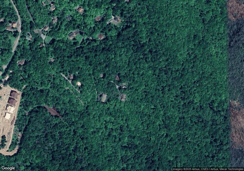
Map
Nearby Homes
- Lot 11 Saul's Camp Rd
- Lot 12 Saul's Camp Rd
- Lot 14 Saul's Camp Rd
- 260 Beacon Hill
- 133 Canyon Gap Unit B-1
- TBD Ridgetop Dr
- TBD Camden Ln
- 4102 Highway 221 None S
- 4102 Us Highway 221 S
- 543 Gorge View Dr
- 206 Spruce Pine Trail
- 164 Evergreen Springs Ct Unit 201
- 182 Evergreen Springs Ct Unit 401
- Lot 24 Red Wolf None
- Tbd Morning Star
- 205 Honey Hill Dr
- 200 Longview Dr
- 160 Rhododendron Ln
- 535 Fair Park Dr
- 229 Fair Park Dr
- 145 Log Cabin Ln
- 169 Log Cabin Ln
- 107 Log Cabin Ln
- 372 Sauls Camp Rd
- Parcel 1 Amicalola Way
- Parcel 2 Summa Family Ln
- TBD Lot #10 Saul's Camp Rd
- Lot 14 Sauls Camp Rd
- Parcel 1 Summa Family Ln
- Parcel 1 Sauls Camp Rd
- 327 Sauls Camp Rd
- Lot 11 Sauls Camp Rd
- Parcel 2 Amicalola Way
- 279 Sauls Camp Rd
- 556 Sauls Camp Rd
- Lot 12 Sauls Camp Rd
- 515 Sauls Camp Rd
- 616 Sauls Camp Rd
- 238 Sauls Camp Rd
- 609 Sauls Camp Rd