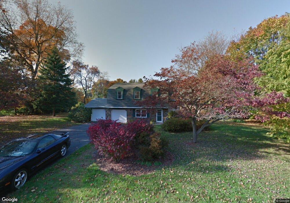
167 Maple Ln Doylestown, PA 18901
Estimated Value: $520,000 - $599,000
3
Beds
2
Baths
1,876
Sq Ft
$304/Sq Ft
Est. Value
About This Home
This home is located at 167 Maple Ln, Doylestown, PA 18901 and is currently estimated at $570,448, approximately $304 per square foot. 167 Maple Ln is a home located in Bucks County with nearby schools including Doyle El School, Lenape Middle School, and Central Bucks High School-West.
Ownership History
Date
Name
Owned For
Owner Type
Purchase Details
Closed on
May 31, 1996
Sold by
Curto Arthur and Curto Sheryl
Bought by
Shaw Robert A and Shaw Mary Lou
Current Estimated Value
Home Financials for this Owner
Home Financials are based on the most recent Mortgage that was taken out on this home.
Original Mortgage
$140,000
Outstanding Balance
$8,855
Interest Rate
7.89%
Estimated Equity
$561,593
Purchase Details
Closed on
Oct 8, 1985
Bought by
Curto Arthur and Curto Sheryl
Create a Home Valuation Report for This Property
The Home Valuation Report is an in-depth analysis detailing your home's value as well as a comparison with similar homes in the area
Home Values in the Area
Average Home Value in this Area
Purchase History
| Date | Buyer | Sale Price | Title Company |
|---|---|---|---|
| Shaw Robert A | $175,000 | -- | |
| Curto Arthur | $115,000 | -- |
Source: Public Records
Mortgage History
| Date | Status | Borrower | Loan Amount |
|---|---|---|---|
| Open | Shaw Robert A | $140,000 |
Source: Public Records
Tax History Compared to Growth
Tax History
| Year | Tax Paid | Tax Assessment Tax Assessment Total Assessment is a certain percentage of the fair market value that is determined by local assessors to be the total taxable value of land and additions on the property. | Land | Improvement |
|---|---|---|---|---|
| 2025 | $5,804 | $32,800 | $8,880 | $23,920 |
| 2024 | $5,804 | $32,800 | $8,880 | $23,920 |
| 2023 | $5,535 | $32,800 | $8,880 | $23,920 |
| 2022 | $5,473 | $32,800 | $8,880 | $23,920 |
| 2021 | $5,360 | $32,800 | $8,880 | $23,920 |
| 2020 | $5,336 | $32,800 | $8,880 | $23,920 |
| 2019 | $5,278 | $32,800 | $8,880 | $23,920 |
| 2018 | $5,262 | $32,800 | $8,880 | $23,920 |
| 2017 | $5,221 | $32,800 | $8,880 | $23,920 |
| 2016 | $5,188 | $32,800 | $8,880 | $23,920 |
| 2015 | -- | $32,800 | $8,880 | $23,920 |
| 2014 | -- | $32,800 | $8,880 | $23,920 |
Source: Public Records
Map
Nearby Homes
- 60 Cedar Dr
- 200 N Shady Retreat Rd
- 84 Iron Hill Rd
- 250 Wooded Dr
- 218 Vaux Dr
- 204 Woodland Dr
- 121 Conestoga Dr
- 197 Spring Ln
- 8 E Butler Ave
- 10 W Butler Ave
- 11 W Butler Ave
- 432 Ford Hook Rd
- 450 Ford Hook Rd
- 422 Fordhook Rd
- 158 W Butler Ave
- 225 Chestnut Valley Dr
- 144 Progress Dr
- 157 Pine Run Rd
- 62 Constitution Ave
- 163 Progress Dr