167 Podunk Rd Sturbridge, MA 01566
Estimated Value: $569,000 - $913,000
4
Beds
2
Baths
3,716
Sq Ft
$205/Sq Ft
Est. Value
About This Home
This home is located at 167 Podunk Rd, Sturbridge, MA 01566 and is currently estimated at $760,126, approximately $204 per square foot. 167 Podunk Rd is a home located in Worcester County with nearby schools including Burgess Elementary School, Tantasqua Regional Junior High School, and Tantasqua Regional High School.
Create a Home Valuation Report for This Property
The Home Valuation Report is an in-depth analysis detailing your home's value as well as a comparison with similar homes in the area
Home Values in the Area
Average Home Value in this Area
Tax History
| Year | Tax Paid | Tax Assessment Tax Assessment Total Assessment is a certain percentage of the fair market value that is determined by local assessors to be the total taxable value of land and additions on the property. | Land | Improvement |
|---|---|---|---|---|
| 2025 | $11,556 | $725,400 | $122,300 | $603,100 |
| 2024 | $11,052 | $670,200 | $119,700 | $550,500 |
| 2023 | $10,779 | $596,500 | $106,000 | $490,500 |
| 2022 | $10,406 | $543,400 | $97,300 | $446,100 |
| 2021 | $9,483 | $498,600 | $93,500 | $405,100 |
| 2020 | $9,483 | $498,600 | $93,500 | $405,100 |
| 2019 | $9,002 | $470,100 | $95,700 | $374,400 |
| 2018 | $8,927 | $459,200 | $91,900 | $367,300 |
| 2017 | $8,513 | $438,800 | $89,200 | $349,600 |
| 2016 | $7,863 | $409,300 | $87,000 | $322,300 |
| 2015 | $7,746 | $402,600 | $87,000 | $315,600 |
Source: Public Records
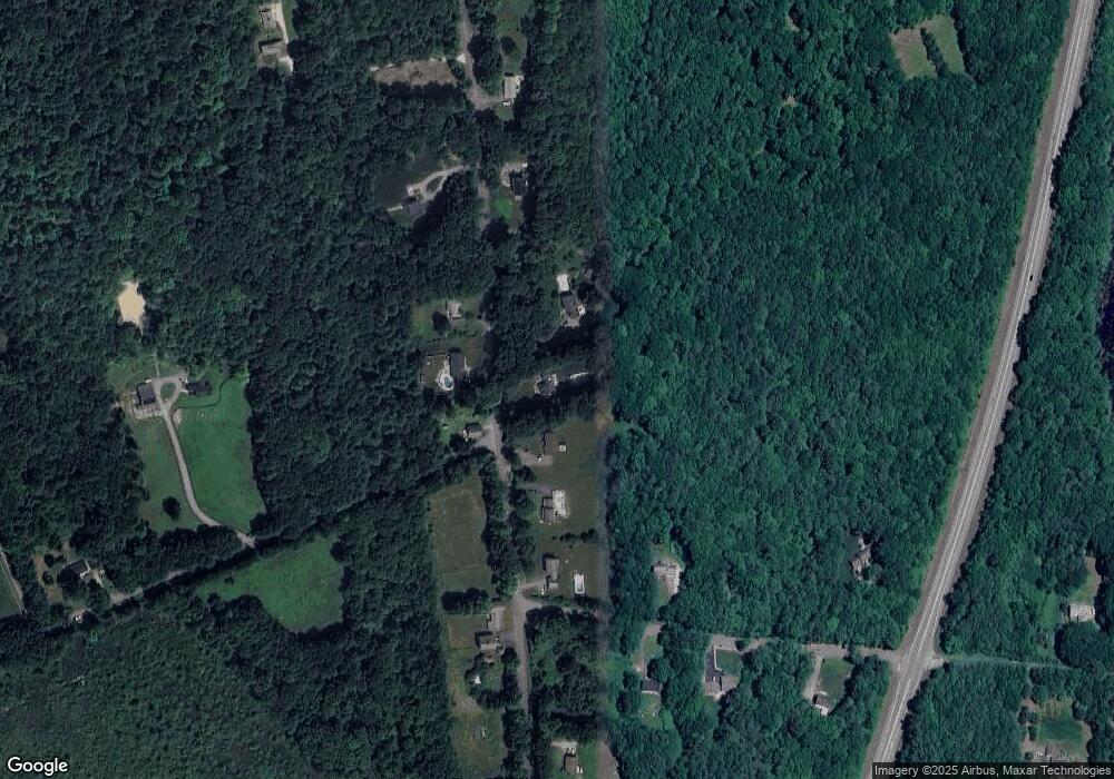
Map
Nearby Homes
- 29, 31, 33 Ladd Rd
- 35 Ladd Rd
- 7 Woodlawn Dr
- 49 Jennings Rd
- 110 Pondview Rd
- 13 Woodlawn Dr
- 68 - 74 Sturbridge Rd
- 74 Hill Rd Unit A
- 6 S Sullivan Rd
- 100 Rice Rd
- 2 Sawmill Cir
- 0 Worcester Rd
- 1 Lane 22
- 208 New Boston Rd
- 7 Stevens Park Rd Unit A
- 6 Gillespie Rd
- 34 Worcester Rd
- 86 Rice Corner Rd
- 1 Chase Rd
- 0 City Depot Rd
Your Personal Tour Guide
Ask me questions while you tour the home.