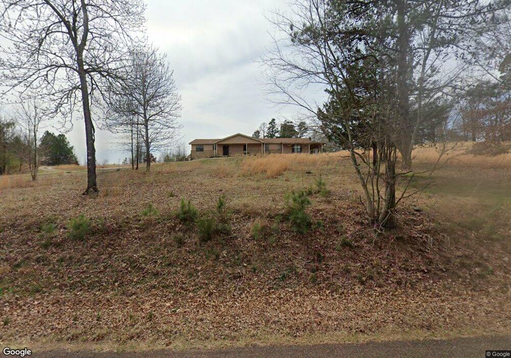
167 Rolling Fork Dr de Queen, AR 71832
Estimated Value: $182,000 - $401,000
Studio
3
Baths
2,573
Sq Ft
$107/Sq Ft
Est. Value
About This Home
This home is located at 167 Rolling Fork Dr, de Queen, AR 71832 and is currently estimated at $274,948, approximately $106 per square foot. 167 Rolling Fork Dr is a home located in Sevier County with nearby schools including Dequeen Primary School, Dequeen Elementary School, and Dequeen Junior High School.
Ownership History
Date
Name
Owned For
Owner Type
Purchase Details
Closed on
Aug 31, 2017
Sold by
Melissa Suttle and Melissa Chris
Bought by
Erickson Johnathan and Erickson Valetta M
Current Estimated Value
Home Financials for this Owner
Home Financials are based on the most recent Mortgage that was taken out on this home.
Original Mortgage
$124,795
Outstanding Balance
$103,632
Interest Rate
3.96%
Mortgage Type
New Conventional
Estimated Equity
$171,316
Purchase Details
Closed on
Jun 29, 2013
Bought by
Marsh Melissa
Purchase Details
Closed on
Jul 25, 2002
Bought by
Starr Cynthia L
Create a Home Valuation Report for This Property
The Home Valuation Report is an in-depth analysis detailing your home's value as well as a comparison with similar homes in the area
Purchase History
| Date | Buyer | Sale Price | Title Company |
|---|---|---|---|
| Erickson Johnathan | $124,600 | Attorney Only | |
| Marsh Melissa | $87,000 | -- | |
| Starr Cynthia L | $98,000 | -- |
Source: Public Records
Mortgage History
| Date | Status | Borrower | Loan Amount |
|---|---|---|---|
| Open | Erickson Johnathan | $124,795 |
Source: Public Records
Tax History
| Year | Tax Paid | Tax Assessment Tax Assessment Total Assessment is a certain percentage of the fair market value that is determined by local assessors to be the total taxable value of land and additions on the property. | Land | Improvement |
|---|---|---|---|---|
| 2025 | $576 | $30,310 | $4,230 | $26,080 |
| 2024 | $620 | $30,310 | $4,230 | $26,080 |
| 2023 | $650 | $30,310 | $4,230 | $26,080 |
| 2022 | $655 | $30,310 | $4,230 | $26,080 |
| 2021 | $610 | $30,310 | $4,230 | $26,080 |
| 2020 | $566 | $30,310 | $4,230 | $26,080 |
| 2019 | $617 | $25,110 | $3,030 | $22,080 |
| 2018 | $642 | $25,110 | $3,030 | $22,080 |
| 2017 | $519 | $25,110 | $3,030 | $22,080 |
| 2016 | $519 | $25,110 | $3,030 | $22,080 |
| 2015 | $519 | $25,110 | $3,030 | $22,080 |
| 2014 | $519 | $32,010 | $4,040 | $27,970 |
Source: Public Records
Map
Nearby Homes
- 137 Rolling Fork Dr
- 125 Rolling Oaks Dr
- 117 N Rolling Oaks Dr
- 118 Rolling Oaks Dr
- 374 Avon Rd
- 181 Craig Ln
- 101 Rolling Oaks Dr
- 110 Rolling Oaks Dr
- 143 N Rolling Oaks Dr
- 102 Rolling Oaks Dr
- 150 N Rolling Oaks Dr
- 151 N Rolling Oaks Dr
- 156 N Rolling Oaks Dr
- 135 Rolling Oaks Dr
- 500 Rink Rd
- TBD Collin Raye Dr
- TBD W Collin Raye Dr
- 301 Story Creek Rd
- 115 Heritage Place
- 129 Ridgewood Dr
- 177 Rolling Fork Dr
- 170 Rolling Fork Dr
- 155 Rolling Fork Dr
- 158 Rolling Fork Dr
- 200 Rolling Fork Dr
- 209 Rolling Fork Dr
- 140 Rolling Fork Dr
- 219 Rolling Fork Dr
- 226 Rolling Fork Dr
- 124 Rolling Fork Dr
- 248 Rolling Fork Dr
- 262 Rolling Fork Dr
- 2179 N 9th St
- 103 Rolling Fork Dr
- 221 Rolling Fork Dr
- 227 Rolling Fork Dr
- 247 Rolling Fork Dr
- 264 Rolling Fork Dr
- 0 Rolling Fork
- 259 Rolling Fork Dr
Your Personal Tour Guide
Ask me questions while you tour the home.