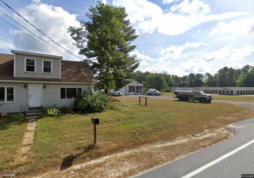
167 Sabbathday Rd New Gloucester, ME 04260
3
Beds
1
Bath
1,224
Sq Ft
2
Acres
About This Home
This home is located at 167 Sabbathday Rd, New Gloucester, ME 04260. 167 Sabbathday Rd is a home located in Cumberland County with nearby schools including Gray-New Gloucester High School and Fiddlehead School of Arts & Science.
Ownership History
Date
Name
Owned For
Owner Type
Purchase Details
Closed on
Sep 28, 2012
Sold by
Ubrichto Llc
Bought by
Brady T M
Purchase Details
Closed on
Aug 16, 2012
Sold by
Diesel Power Llc
Bought by
Ubrichto Llc
Purchase Details
Closed on
Mar 27, 2009
Sold by
Mecap Llc
Bought by
Diesel Power Llc
Home Financials for this Owner
Home Financials are based on the most recent Mortgage that was taken out on this home.
Original Mortgage
$19,000
Interest Rate
5.14%
Mortgage Type
Commercial
Create a Home Valuation Report for This Property
The Home Valuation Report is an in-depth analysis detailing your home's value as well as a comparison with similar homes in the area
Home Values in the Area
Average Home Value in this Area
Purchase History
| Date | Buyer | Sale Price | Title Company |
|---|---|---|---|
| Brady T M | -- | -- | |
| Ubrichto Llc | -- | -- | |
| Diesel Power Llc | -- | -- |
Source: Public Records
Mortgage History
| Date | Status | Borrower | Loan Amount |
|---|---|---|---|
| Previous Owner | Diesel Power Llc | $19,000 |
Source: Public Records
Tax History Compared to Growth
Tax History
| Year | Tax Paid | Tax Assessment Tax Assessment Total Assessment is a certain percentage of the fair market value that is determined by local assessors to be the total taxable value of land and additions on the property. | Land | Improvement |
|---|---|---|---|---|
| 2025 | $2,929 | $189,312 | $84,000 | $105,312 |
| 2024 | $3,335 | $223,961 | $84,000 | $139,961 |
| 2023 | $3,200 | $223,961 | $84,000 | $139,961 |
| 2022 | $3,091 | $223,961 | $84,000 | $139,961 |
| 2021 | $3,091 | $223,961 | $84,000 | $139,961 |
| 2020 | $3,057 | $223,961 | $84,000 | $139,961 |
| 2019 | $2,484 | $147,000 | $59,000 | $88,000 |
| 2018 | $2,323 | $147,000 | $59,000 | $88,000 |
| 2017 | $6,945 | $147,000 | $59,000 | $88,000 |
| 2016 | $2,161 | $147,000 | $59,000 | $88,000 |
| 2015 | $2,154 | $147,000 | $59,000 | $88,000 |
| 2014 | $2,132 | $147,000 | $59,000 | $88,000 |
| 2013 | $1,977 | $147,000 | $59,000 | $88,000 |
Source: Public Records
Map
Nearby Homes
- TBD Targett Rd
- 423 Sabbathday Rd
- 14 Golden Way
- 24 Swamp Rd
- 271 Bennett Rd
- 22 Shaw Rd
- 343 Shaker Rd
- 00 N Shore Rd
- 4 Chelsey Ln
- 15 May Meadow Dr
- 155 & 151 Gloucester Hill Rd
- 0018-C Gloucester Hill Rd
- 160 Gloucester Hill Rd
- 74 May Meadow Dr
- 13 Mill Brook Rd Unit A
- 10 Cobbs Bridge Rd
- 164 Intervale Rd
- 21 Westwood Rd
- 0 Mayall
- 136 Shaker Rd
- 175 Sabbathday Rd
- 165 Sabbathday Rd
- 177 Shaker
- 163 Sabbathday Rd
- 166 Sabbathday Rd
- 160 Sabbathday Rd
- 174 Sabbathday Rd
- 170 Sabbathday Rd
- 185 Sabbathday Rd
- 174A Sabbathday Rd
- 148 Sabbathday Rd
- 190 Sabbathday Rd
- 193 Sabbathday Rd
- 932 Mayall Rd
- 922 Mayall Rd
- 136 Sabbathday Rd
- 942 Mayall Rd
- 143 Sabbathday Rd
- 199 Sabbathday Rd
- 946 Mayall Rd