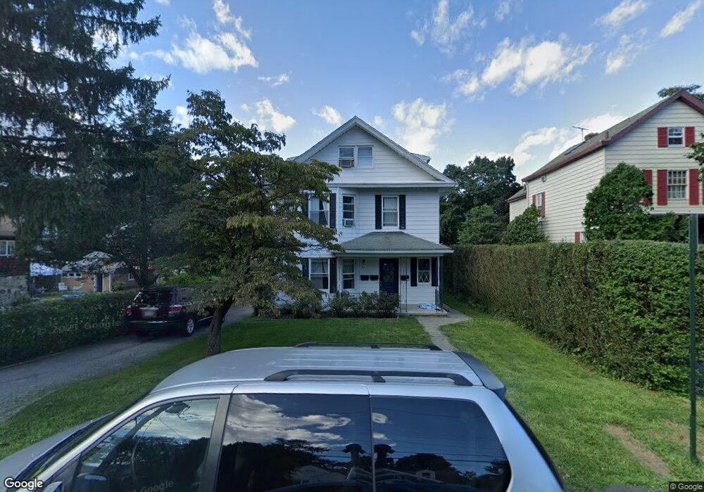
167 Union Ave Tarrytown, NY 10591
Estimated Value: $1,019,000 - $1,160,000
--
Bed
--
Bath
--
Sq Ft
8,276
Sq Ft Lot
About This Home
This home is located at 167 Union Ave, Tarrytown, NY 10591 and is currently estimated at $1,095,027. 167 Union Ave is a home located in Westchester County with nearby schools including Washington Irving Interm School, John Paulding School, and W L Morse School.
Ownership History
Date
Name
Owned For
Owner Type
Purchase Details
Closed on
Dec 27, 2004
Sold by
Proulx Rita
Bought by
Benson Bee Ann and Mcmurry Russell Kyle
Current Estimated Value
Home Financials for this Owner
Home Financials are based on the most recent Mortgage that was taken out on this home.
Original Mortgage
$556,500
Interest Rate
5.75%
Mortgage Type
Fannie Mae Freddie Mac
Purchase Details
Closed on
Aug 9, 2002
Sold by
Bickford Anya H and Douglas Chamberlain A
Bought by
Bombassei James L
Create a Home Valuation Report for This Property
The Home Valuation Report is an in-depth analysis detailing your home's value as well as a comparison with similar homes in the area
Home Values in the Area
Average Home Value in this Area
Purchase History
| Date | Buyer | Sale Price | Title Company |
|---|---|---|---|
| Benson Bee Ann | $795,000 | The Judicial Title Ins Agenc | |
| Bombassei James L | $780,000 | Fidelity National Title Ins |
Source: Public Records
Mortgage History
| Date | Status | Borrower | Loan Amount |
|---|---|---|---|
| Previous Owner | Benson Bee Ann | $556,500 |
Source: Public Records
Tax History Compared to Growth
Tax History
| Year | Tax Paid | Tax Assessment Tax Assessment Total Assessment is a certain percentage of the fair market value that is determined by local assessors to be the total taxable value of land and additions on the property. | Land | Improvement |
|---|---|---|---|---|
| 2024 | $29,772 | $1,031,700 | $282,300 | $749,400 |
| 2023 | $28,015 | $960,000 | $249,800 | $710,200 |
| 2022 | $27,100 | $886,800 | $249,800 | $637,000 |
| 2021 | $20,260 | $805,500 | $249,800 | $555,700 |
| 2020 | $20,126 | $584,200 | $249,800 | $334,400 |
| 2019 | $19,479 | $584,200 | $249,800 | $334,400 |
| 2018 | $21,369 | $573,600 | $249,800 | $323,800 |
| 2017 | $9,582 | $553,800 | $249,800 | $304,000 |
| 2016 | $392,654 | $532,500 | $249,800 | $282,700 |
| 2015 | -- | $16,650 | $1,700 | $14,950 |
| 2014 | -- | $16,650 | $1,700 | $14,950 |
| 2013 | $10,816 | $16,650 | $1,700 | $14,950 |
Source: Public Records
Map
Nearby Homes
- 43 Putnam Ave
- 94 Barnes Rd
- 14 Croton Ave
- 102 Legend Dr Unit 101
- 497 Martling Ave
- 18 N Broadway Unit 411
- 29 Woodland Ave
- 19 S Broadway Unit 4A
- 29 Dixon St
- 57 Cobb Ln
- 20 Benedict Ave
- 93 Carrollwood Dr Unit 93
- 443 Benedict Ave
- 25 Glen Hill Ln
- 410 Benedict Ave Unit 5E
- 7 Glen Hill Ln
- 412 Benedict Ave Unit 5H
- 46 Trailhead Ln
- 154 Martling Ave Unit 5-J6
- 12 Hendrick Ln Unit 43E
- 169 Union Ave
- 157 Union Ave
- 171 Union Ave
- 88 Sunnyside Ave
- 92 Sunnyside Ave
- 86 Sunnyside Ave
- 155 Union Ave
- 173 Union Ave
- 37 Lake Ave
- 84 Sunnyside Ave
- 51 Lake Ave
- 162 Union Ave
- 168 Union Ave
- 82 Sunnyside Ave
- 82 Sunnyside Ave Unit 2
- 152 Union Ave
- 179 Union Ave
- 146 Union Ave
- 80 Sunnyside Ave
- 3 Kerwin Place