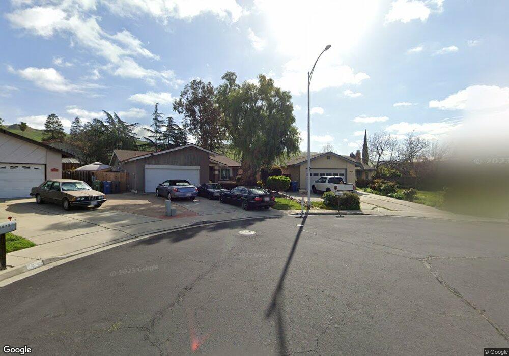
1670 Quail Dr Milpitas, CA 95035
Estimated Value: $1,903,000 - $1,954,000
5
Beds
3
Baths
1,416
Sq Ft
$1,367/Sq Ft
Est. Value
About This Home
This home is located at 1670 Quail Dr, Milpitas, CA 95035 and is currently estimated at $1,935,522, approximately $1,366 per square foot. 1670 Quail Dr is a home located in Santa Clara County with nearby schools including William Burnett Elementary School, Thomas Russell Middle School, and Milpitas High School.
Ownership History
Date
Name
Owned For
Owner Type
Purchase Details
Closed on
Jan 11, 2025
Sold by
Macaulay Kenneth and Macaulay Pamela Lynn
Bought by
Macaulay Family Trust and Macaulay
Current Estimated Value
Purchase Details
Closed on
Sep 14, 1995
Sold by
Macaulay Kenneth and Macaulay Pamela Lynn
Bought by
Macaulay Kenneth and Macaulay Pamela Lynn
Home Financials for this Owner
Home Financials are based on the most recent Mortgage that was taken out on this home.
Original Mortgage
$110,000
Interest Rate
7.97%
Create a Home Valuation Report for This Property
The Home Valuation Report is an in-depth analysis detailing your home's value as well as a comparison with similar homes in the area
Home Values in the Area
Average Home Value in this Area
Purchase History
We collect this data history from publicly available records. To have your information removed, we recommend requesting removal directly through your county’s website.
| Date | Buyer | Sale Price | Title Company |
|---|---|---|---|
| Macaulay Family Trust | -- | None Listed On Document | |
| Macaulay Kenneth | -- | American Title Ins Co |
Source: Public Records
Mortgage History
We collect this data history from publicly available records. To have your information removed, we recommend requesting removal directly through your county’s website.
| Date | Status | Borrower | Loan Amount |
|---|---|---|---|
| Previous Owner | Macaulay Kenneth | $110,000 |
Source: Public Records
Tax History
| Year | Tax Paid | Tax Assessment Tax Assessment Total Assessment is a certain percentage of the fair market value that is determined by local assessors to be the total taxable value of land and additions on the property. | Land | Improvement |
|---|---|---|---|---|
| 2025 | $3,779 | $321,226 | $124,290 | $196,936 |
| 2024 | $3,779 | $314,928 | $121,853 | $193,075 |
| 2023 | $3,779 | $308,754 | $119,464 | $189,290 |
| 2022 | $3,751 | $302,701 | $117,122 | $185,579 |
| 2021 | $3,695 | $296,767 | $114,826 | $181,941 |
| 2020 | $3,631 | $293,725 | $113,649 | $180,076 |
| 2019 | $3,591 | $287,967 | $111,421 | $176,546 |
| 2018 | $3,415 | $282,322 | $109,237 | $173,085 |
| 2017 | $3,370 | $276,788 | $107,096 | $169,692 |
| 2016 | $3,231 | $271,362 | $104,997 | $166,365 |
| 2015 | $3,197 | $267,287 | $103,420 | $163,867 |
| 2014 | $3,099 | $262,053 | $101,395 | $160,658 |
Source: Public Records
Map
Nearby Homes
- 507 Alexander Way
- 1995 Old Calaveras Rd
- 1402 Stemel Way
- 35 Terfidia Ln
- 545 Printy Ave
- 1163 Park Grove Dr
- 160 Roswell Dr
- 122 Piedmont Rd
- 292 Falcato Dr
- 2115 Pedro Ave
- 1321 Terra Vista Ct
- 908 Smith Ln
- 642 Aberdeen Way
- 475 Stulman Dr
- 2222 Lacey Dr
- 397 S Park Victoria Dr
- 613 Parvin Dr
- 476 Dempsey Rd Unit 277
- 375 Dempsey Rd
- 436 Dempsey Rd Unit 238
- 1676 Quail Dr
- 1664 Quail Dr
- 1691 Kennedy Dr
- 1679 Kennedy Dr
- 503 Old Evans Rd
- 491 Old Evans Rd
- 1703 Kennedy Dr
- 515 Old Evans Rd
- 1667 Kennedy Dr
- 1673 Quail Dr
- 479 Old Evans Rd
- 1715 Kennedy Dr
- 1652 Quail Dr
- 527 Old Evans Rd
- 1655 Kennedy Dr
- 1727 Kennedy Dr
- 1661 Quail Dr
- 539 Old Evans Rd
- 1640 Quail Dr
- 1649 Quail Dr
Your Personal Tour Guide
Ask me questions while you tour the home.