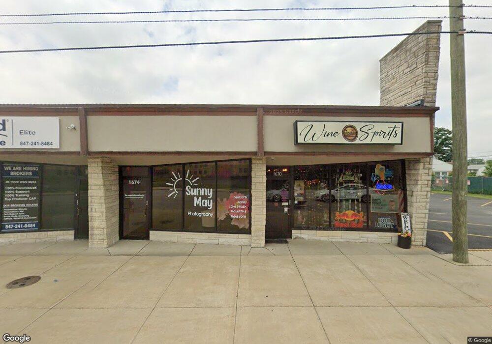
1670 S River Rd Des Plaines, IL 60018
Estimated Value: $362,000
Studio
--
Bath
--
Sq Ft
16,553
Sq Ft Lot
About This Home
This home is located at 1670 S River Rd, Des Plaines, IL 60018 and is currently estimated at $362,000. 1670 S River Rd is a home located in Cook County with nearby schools including South Elementary School, Algonquin Middle School, and Maine West High School.
Ownership History
Date
Name
Owned For
Owner Type
Purchase Details
Closed on
Mar 14, 2015
Sold by
Adams Michael R and Adams Julie L
Bought by
1670 River Road Llc
Current Estimated Value
Home Financials for this Owner
Home Financials are based on the most recent Mortgage that was taken out on this home.
Original Mortgage
$290,000
Interest Rate
3.62%
Mortgage Type
Commercial
Purchase Details
Closed on
Oct 14, 2011
Sold by
Adams Michael R and Adams Julie L
Bought by
Department Of Transportation
Purchase Details
Closed on
Dec 31, 1997
Sold by
Stynoski William G
Bought by
Adams Michael R and Adams Julie L
Home Financials for this Owner
Home Financials are based on the most recent Mortgage that was taken out on this home.
Original Mortgage
$325,000
Interest Rate
8.5%
Mortgage Type
Purchase Money Mortgage
Create a Home Valuation Report for This Property
The Home Valuation Report is an in-depth analysis detailing your home's value as well as a comparison with similar homes in the area
Home Values in the Area
Average Home Value in this Area
Purchase History
| Date | Buyer | Sale Price | Title Company |
|---|---|---|---|
| 1670 River Road Llc | $362,500 | Ct | |
| Department Of Transportation | $166,000 | Wheatland Title Guaranty | |
| Adams Michael R | $325,000 | Chicago Title Insurance Co |
Source: Public Records
Mortgage History
| Date | Status | Borrower | Loan Amount |
|---|---|---|---|
| Previous Owner | 1670 River Road Llc | $290,000 | |
| Previous Owner | Adams Michael R | $325,000 |
Source: Public Records
Tax History
| Year | Tax Paid | Tax Assessment Tax Assessment Total Assessment is a certain percentage of the fair market value that is determined by local assessors to be the total taxable value of land and additions on the property. | Land | Improvement |
|---|---|---|---|---|
| 2025 | $1,109 | $6,759 | $6,759 | -- |
| 2024 | $1,109 | $4,206 | $4,206 | -- |
| 2023 | $1,082 | $4,206 | $4,206 | -- |
| 2022 | $1,082 | $4,206 | $4,206 | $0 |
| 2021 | $1,293 | $4,205 | $4,205 | $0 |
| 2020 | $1,271 | $4,205 | $4,205 | $0 |
| 2019 | $1,132 | $4,205 | $4,205 | $0 |
| 2018 | $719 | $2,403 | $2,403 | $0 |
| 2017 | $706 | $2,403 | $2,403 | $0 |
| 2016 | $668 | $2,403 | $2,403 | $0 |
| 2015 | $704 | $2,328 | $2,328 | $0 |
| 2014 | $689 | $2,328 | $2,328 | $0 |
| 2013 | -- | $2,328 | $2,328 | $0 |
Source: Public Records
Map
Nearby Homes
- 1640 S River Rd
- 1721 Prospect Ave
- 1990 Berry Ln
- 1700 E Forest Ave
- 1645 Illinois St
- 1689 S Elm St
- 1696 S Elm St
- 1922 Fargo Ave
- 1445 Everett Ave
- 1509 Center St
- 1630 Henry Ave
- 700 Florence Dr
- 1370 Fargo Ave Unit E
- 1638 Oakwood Ave
- 38 E Touhy Ave
- 1649 Ashland Ave Unit 501
- 1641 E Touhy Ave
- 1524 Oakwood Ave
- 1629 E Touhy Ave
- 1080 Bogart St
- 1684 S River Rd
- 1684 Des Plaines River Rd
- 1539 Cooper St
- 1533 Cooper St
- 1537 Cooper St
- 1553 Cooper St
- 1545 Cooper St
- 1551 Cooper St
- 1549 Cooper St
- 1688 Des Plaines River Rd
- 1912 Riverview Ave
- 1909 Bennett Place
- 1906 Riverview Ave
- 1892 Riverview Ave
- 1897 Bennett Place
- 1897 Bennett Place
- 1883 Bennett Place
- 1890 Riverview Ave
- 1882 Riverview Ave
- 1873 Bennett Place
Your Personal Tour Guide
Ask me questions while you tour the home.