16707 206th Cir Hutchinson, MN 55350
Estimated Value: $530,000 - $556,795
4
Beds
4
Baths
3,090
Sq Ft
$174/Sq Ft
Est. Value
About This Home
This home is located at 16707 206th Cir, Hutchinson, MN 55350 and is currently estimated at $538,699, approximately $174 per square foot. 16707 206th Cir is a home located in McLeod County with nearby schools including Hutchinson West Elementary School, Hutchinson Park Elementary School, and Hutchinson Middle School.
Ownership History
Date
Name
Owned For
Owner Type
Purchase Details
Closed on
Apr 10, 2020
Sold by
Koelln Mark R and Koelln Lori A
Bought by
Hanneman Mark T and Hanneman Johanna M
Current Estimated Value
Home Financials for this Owner
Home Financials are based on the most recent Mortgage that was taken out on this home.
Original Mortgage
$180,000
Outstanding Balance
$159,458
Interest Rate
3.4%
Mortgage Type
New Conventional
Estimated Equity
$379,241
Create a Home Valuation Report for This Property
The Home Valuation Report is an in-depth analysis detailing your home's value as well as a comparison with similar homes in the area
Home Values in the Area
Average Home Value in this Area
Purchase History
| Date | Buyer | Sale Price | Title Company |
|---|---|---|---|
| Hanneman Mark T | $360,000 | Title Mark |
Source: Public Records
Mortgage History
| Date | Status | Borrower | Loan Amount |
|---|---|---|---|
| Open | Hanneman Mark T | $180,000 |
Source: Public Records
Tax History Compared to Growth
Tax History
| Year | Tax Paid | Tax Assessment Tax Assessment Total Assessment is a certain percentage of the fair market value that is determined by local assessors to be the total taxable value of land and additions on the property. | Land | Improvement |
|---|---|---|---|---|
| 2024 | $5,164 | $532,900 | $112,300 | $420,600 |
| 2023 | $4,598 | $487,500 | $107,200 | $380,300 |
| 2022 | $3,734 | $432,700 | $97,000 | $335,700 |
| 2021 | $4,096 | $333,000 | $80,700 | $252,300 |
| 2020 | $4,152 | $333,000 | $80,700 | $252,300 |
| 2019 | $3,528 | $333,000 | $80,700 | $252,300 |
| 2018 | $3,132 | $0 | $0 | $0 |
| 2017 | $3,012 | $0 | $0 | $0 |
| 2016 | $2,992 | $0 | $0 | $0 |
| 2015 | $2,566 | $0 | $0 | $0 |
| 2014 | -- | $0 | $0 | $0 |
Source: Public Records
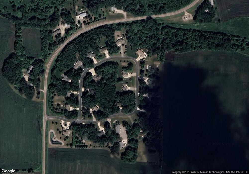
Map
Nearby Homes
- 555 N High Dr NE
- 16869 220th St
- 22242 Pheasant Ct
- 236 10th Ave NE
- 245 10th Ave NE
- 205 10th Ave NE
- 255 10th Ave NE
- 216 10th Ave NE
- 215 10th Ave NE
- 225 10th Ave NE
- 1534 9th Ave SW
- 648 Bluff St NE
- 725 Maple St NE
- 635 Hillcrest Rd NE
- 104 Mark Dr NE
- 727 Ash St NE
- 839 Hilltop Dr NE
- 321 Highway 7 E
- 664 Hilltop Dr NE
- 584 Bluff St NE
- 16709 206th Cir
- 16800 206th Cir
- 16651 206th Cir
- 16706 206th Cir
- 16624 206th Cir
- 16702 206th Cir
- 16622 206th Cir
- 16708 206th Cir
- 16804 206th Cir
- 16807 206th Cir
- 16807 206th Cir
- 16672 206th Cir
- 16714 206th Cir
- 16650 206th Cir
- 16805 206th Cir
- 16813 206th Cir
- 16617 206th Cir
- 16629 206th Cir
- 16603 206th Cir
- 16825 206th Cir