Estimated Value: $614,000 - $795,000
4
Beds
3
Baths
2,144
Sq Ft
$340/Sq Ft
Est. Value
About This Home
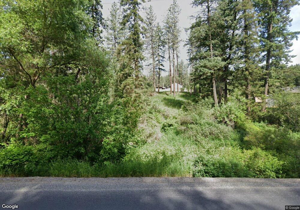
This home is located at 16709 N Day Mt Spokane Rd, Mead, WA 99021 and is currently estimated at $727,948, approximately $339 per square foot. 16709 N Day Mt Spokane Rd is a home located in Spokane County with nearby schools including Colbert Elementary School, Mountainside Middle School, and Mt. Spokane High School.
Ownership History
Date
Name
Owned For
Owner Type
Purchase Details
Closed on
Nov 16, 2007
Sold by
Johnson Christie A
Bought by
Bumsted Christie A and Bumsted Vernon R
Current Estimated Value
Home Financials for this Owner
Home Financials are based on the most recent Mortgage that was taken out on this home.
Original Mortgage
$145,000
Interest Rate
6.38%
Mortgage Type
Purchase Money Mortgage
Purchase Details
Closed on
Dec 22, 1999
Sold by
Johnson Gregory A
Bought by
Johnson Christie A
Create a Home Valuation Report for This Property
The Home Valuation Report is an in-depth analysis detailing your home's value as well as a comparison with similar homes in the area
Home Values in the Area
Average Home Value in this Area
Purchase History
| Date | Buyer | Sale Price | Title Company |
|---|---|---|---|
| Bumsted Christie A | -- | Transnation Title Ins Co | |
| Johnson Christie A | -- | -- |
Source: Public Records
Mortgage History
| Date | Status | Borrower | Loan Amount |
|---|---|---|---|
| Closed | Bumsted Christie A | $145,000 |
Source: Public Records
Tax History Compared to Growth
Tax History
| Year | Tax Paid | Tax Assessment Tax Assessment Total Assessment is a certain percentage of the fair market value that is determined by local assessors to be the total taxable value of land and additions on the property. | Land | Improvement |
|---|---|---|---|---|
| 2025 | $7,022 | $712,240 | $233,840 | $478,400 |
| 2024 | $7,022 | $695,340 | $233,840 | $461,500 |
| 2023 | $6,187 | $688,900 | $223,400 | $465,500 |
| 2022 | $6,053 | $681,770 | $216,270 | $465,500 |
| 2021 | $5,469 | $518,570 | $169,870 | $348,700 |
| 2020 | $5,282 | $475,070 | $153,870 | $321,200 |
| 2019 | $4,773 | $433,080 | $148,380 | $284,700 |
| 2018 | $4,523 | $344,080 | $140,880 | $203,200 |
| 2017 | $4,389 | $336,280 | $140,880 | $195,400 |
| 2016 | $4,366 | $327,580 | $140,880 | $186,700 |
| 2015 | $4,214 | $324,840 | $138,140 | $186,700 |
| 2014 | -- | $322,540 | $138,140 | $184,400 |
| 2013 | -- | $0 | $0 | $0 |
Source: Public Records
Map
Nearby Homes
- NKA N Day Mount Spokane Rd
- 16815 N Greenbluff Rd
- NKA E Day Mt Spokane Rd Unit North Parcel
- 17323 N Lower Greenbluff Rd
- 8054 E Mount Spokane Park Dr
- 11515 E Heglar Rd
- 20016 N Sands Rd
- 13790 N Bruce Rd
- 20012 N Halliday Rd
- 20141 N Bernhill Rd
- 13xxx N Peone Rd
- 5711 E Nancy Ln
- 5622 E Sheffield Ln
- 000 N Northwood Dr
- 5024 E Ballard Rd
- 14706 N Mckinnon Ct
- NNA N Madison Rd
- NKA N Bruce Rd Unit Lot 3
- 4927 E Greenleaf Ave
- 8818 E Little Deep Creek Rd
- 16825 N Day Mt Spokane Rd
- 16921 N Day Mt Spokane Rd
- 16611 N Day Mt Spokane Rd
- 16610 N Day Mt Spokane Rd
- 16619 N Day Mount Spokane Rd Unit 16611 N Day Mt. Spok
- 17028 N Day Mt Spokane Rd
- 17117 N Day Mt Spokane Rd
- 17117 N Day Mount Spokane Rd
- 17027 N Dunn Rd
- 17500 N Dunn Rd
- 17118 N Dunn Rd
- 17409 N Dunn Rd
- 16909 N Dunn Rd
- 17415 N Dunn Rd
- 16608 N Day Mt Spokane Rd
- 16604 N Day Mt Spokane Rd
- 16525 N Day Mt Spokane Rd
- 17514 N Dunn Rd
- 17411 N Dunn Rd
- 16516 N Day Mt Spokane Rd