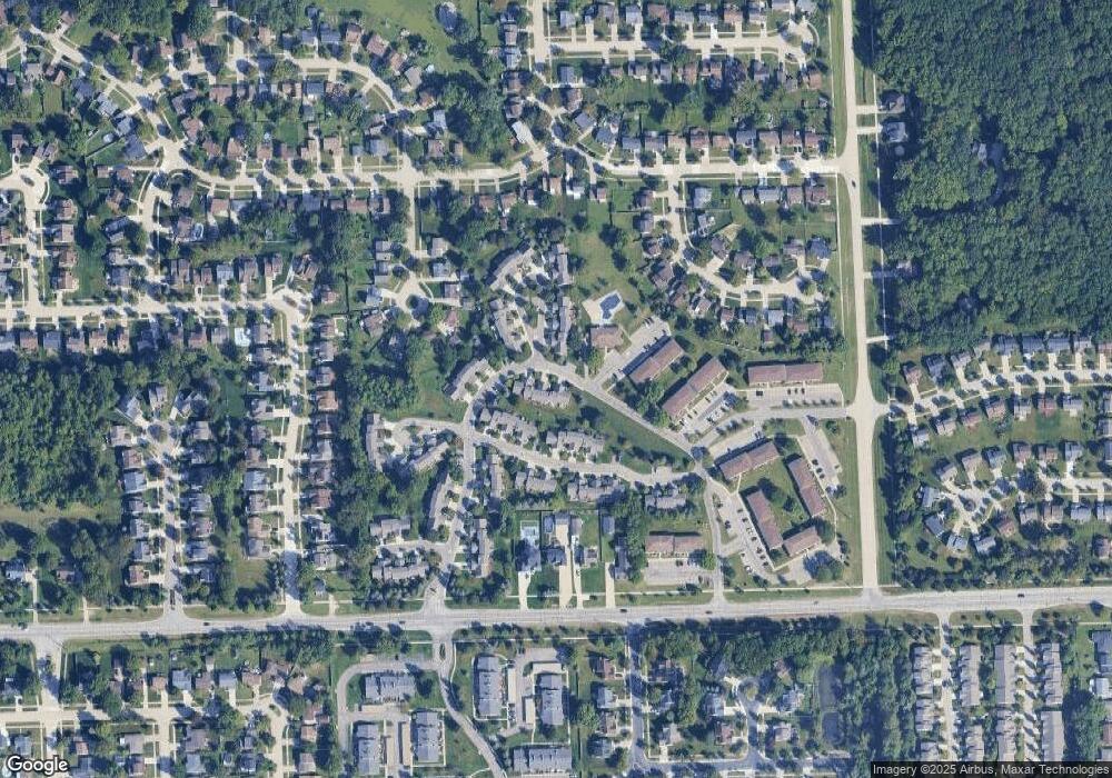
1671 Christopher Dr Unit 42 Canton, MI 48188
Estimated Value: $222,000 - $236,000
Studio
2
Baths
1,051
Sq Ft
$217/Sq Ft
Est. Value
About This Home
This home is located at 1671 Christopher Dr Unit 42, Canton, MI 48188 and is currently estimated at $227,918, approximately $216 per square foot. 1671 Christopher Dr Unit 42 is a home located in Wayne County with nearby schools including Bentley Elementary School, Canton High School, and Salem High School.
Ownership History
Date
Name
Owned For
Owner Type
Purchase Details
Closed on
Mar 31, 2005
Sold by
Sikka Darshana
Bought by
Thiyagarajan Ganesh
Current Estimated Value
Purchase Details
Closed on
Jul 12, 2000
Sold by
Bolen Melissa L
Bought by
Sikka Darshana
Purchase Details
Closed on
Jun 20, 1997
Sold by
Michael S Calkins
Bought by
Mallie Ralph T Bolen and Mallie Melissa L
Purchase Details
Closed on
Dec 8, 1994
Sold by
Kimbe Bro Inc
Bought by
Michael S Calkins
Home Financials for this Owner
Home Financials are based on the most recent Mortgage that was taken out on this home.
Original Mortgage
$79,000
Interest Rate
5.25%
Mortgage Type
New Conventional
Create a Home Valuation Report for This Property
The Home Valuation Report is an in-depth analysis detailing your home's value as well as a comparison with similar homes in the area
Home Values in the Area
Average Home Value in this Area
Purchase History
| Date | Buyer | Sale Price | Title Company |
|---|---|---|---|
| Thiyagarajan Ganesh | $157,500 | Multiple | |
| Sikka Darshana | $152,900 | -- | |
| Mallie Ralph T Bolen | $110,000 | -- | |
| Michael S Calkins | $87,885 | -- |
Source: Public Records
Mortgage History
| Date | Status | Borrower | Loan Amount |
|---|---|---|---|
| Previous Owner | Michael S Calkins | $79,000 |
Source: Public Records
Tax History Compared to Growth
Tax History
| Year | Tax Paid | Tax Assessment Tax Assessment Total Assessment is a certain percentage of the fair market value that is determined by local assessors to be the total taxable value of land and additions on the property. | Land | Improvement |
|---|---|---|---|---|
| 2025 | $2,185 | $104,300 | $0 | $0 |
| 2024 | $2,121 | $93,500 | $0 | $0 |
| 2023 | $2,021 | $80,400 | $0 | $0 |
| 2022 | $3,260 | $72,000 | $0 | $0 |
| 2021 | $3,162 | $70,300 | $0 | $0 |
| 2020 | $3,117 | $69,300 | $0 | $0 |
| 2019 | $3,061 | $69,170 | $0 | $0 |
| 2018 | $1,739 | $62,440 | $0 | $0 |
| 2017 | $2,279 | $59,100 | $0 | $0 |
| 2016 | $2,832 | $59,700 | $0 | $0 |
| 2015 | $4,703 | $57,540 | $0 | $0 |
| 2013 | $4,556 | $48,460 | $0 | $0 |
| 2010 | -- | $55,040 | $25,000 | $30,040 |
Source: Public Records
Map
Nearby Homes
- 1632 Bennington Ct Unit 1632
- 1715 Christopher Dr Unit 12
- 1739 Christopher Dr Unit 8
- 1921 Vine Way Dr Unit 35
- 1834 Maple Park Dr W Unit 9
- 42859 Palmer Rd
- 1530 Fairfax Dr
- 2124 E Roundtable Dr
- 1733 Fern Ct
- 2210 Woodmont Dr W
- 2006 S Lilley Rd
- 45169 Middlebury Ln
- 2340 S Lilley Rd
- 43846 Cherry Grove Ct E
- 45289 Rudgate Rd
- 345 Canton Center Rd
- 42264 Chase Dr
- 46501 Killarney Cir
- 1402 Heritage Dr
- 45246 Gerald Ct
- 1686 Christopher Dr
- 1686 Christopher Dr Unit 67
- 1675 Christopher Dr Unit 41
- 1667 Christopher Dr Unit 43
- 1690 Christopher Dr
- 1692 Christopher Dr Unit 70
- 1685 Christopher Dr Unit 39
- 1688 Christopher Dr
- 1698 Christopher Dr
- 43673 Yorkville Ct Unit 83
- 43669 Yorkville Ct
- 43681 Yorkville Ct Unit 81
- 43681 Yorkville Ct
- 43681 Yorkville Ct Unit 15, 81
- 43685 Yorkville Ct Unit 80
- 43689 Yorkville Ct Unit 79
- 43657 Antietam Ct
- 43653 Antietam Ct
- 1621 Bennington Ct Unit Bldg-Unit
- 1625 Bennington Ct
