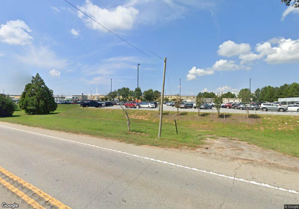
1672 Royston Hwy Hartwell, GA 30643
Estimated Value: $291,000
2
Beds
1
Bath
990
Sq Ft
$294/Sq Ft
Est. Value
About This Home
This home is located at 1672 Royston Hwy, Hartwell, GA 30643 and is currently priced at $291,000, approximately $293 per square foot. 1672 Royston Hwy is a home located in Hart County with nearby schools including Hart County High School, Goldmine Christian Academy, and Hartwell Mennonite School.
Ownership History
Date
Name
Owned For
Owner Type
Purchase Details
Closed on
Dec 18, 2020
Sold by
Nestle Purina Petcare Co
Bought by
Hart County Industrial Building Authorit
Current Estimated Value
Purchase Details
Closed on
Oct 15, 2018
Sold by
Housworth Deborah
Bought by
Nest1 Purina Petcare Co
Purchase Details
Closed on
May 5, 2016
Sold by
Hatchett Thomas J
Bought by
Housworth Deborah and Housworth Michael
Purchase Details
Closed on
Sep 1, 2001
Purchase Details
Closed on
Apr 1, 1999
Purchase Details
Closed on
Nov 1, 1996
Purchase Details
Closed on
Jul 1, 1980
Create a Home Valuation Report for This Property
The Home Valuation Report is an in-depth analysis detailing your home's value as well as a comparison with similar homes in the area
Home Values in the Area
Average Home Value in this Area
Purchase History
| Date | Buyer | Sale Price | Title Company |
|---|---|---|---|
| Hart County Industrial Building Authorit | -- | -- | |
| Nest1 Purina Petcare Co | $105,000 | -- | |
| Housworth Deborah | $15,000 | -- | |
| -- | $49,000 | -- | |
| -- | -- | -- | |
| -- | $33,000 | -- | |
| -- | $33,500 | -- | |
| -- | -- | -- |
Source: Public Records
Tax History Compared to Growth
Tax History
| Year | Tax Paid | Tax Assessment Tax Assessment Total Assessment is a certain percentage of the fair market value that is determined by local assessors to be the total taxable value of land and additions on the property. | Land | Improvement |
|---|---|---|---|---|
| 2022 | $10 | $508 | $508 | $0 |
| 2021 | $98 | $5,084 | $5,084 | $0 |
| 2020 | $98 | $5,084 | $5,084 | $0 |
| 2019 | $80 | $4,100 | $4,100 | $0 |
| 2018 | $103 | $5,185 | $142 | $5,043 |
| 2017 | $102 | $5,128 | $142 | $4,986 |
| 2016 | $261 | $14,734 | $888 | $13,846 |
| 2015 | $269 | $15,801 | $1,131 | $14,670 |
| 2014 | $305 | $15,355 | $804 | $14,551 |
| 2013 | -- | $15,974 | $803 | $15,170 |
Source: Public Records
Map
Nearby Homes
- 712 Scott Mill Rd
- 783 Athens St
- 782 Sunset Rd
- 656 Highland Ave Unit LOT 5
- 638 Highland Ave
- 169 Brown St
- 0 Holly St Unit 10595836
- 45 Dogwood St
- 651 S Jackson St
- 72 Cade St
- 130 Liberty Cir
- 183 Athens St
- 62 Atlanta Ave
- 744 Cherokee Ridge Rd
- 8A Forest Creek Cir
- 88 Thornton Dr
- 126 Baileys Garage Rd
- 34 Depot St Unit 25
- 34 Depot St Unit 21
- 34 Depot St Unit 22
- 0 Memorial Dr Hwy 29 S Unit 7286840
- 65 Golf Course Rd
- 18 Sardis Point Rd
- 78 Sardis Point Rd
- 0 Golf Course Rd Unit 3152273
- 190 Prairie Rd
- 370 Memorial Rd
- 382 Memorial Rd
- 1405 Highway 29
- 128 Golf Course Rd
- 301 Golf Course Rd
- 324 Memorial Rd
- 269 Golf Course Rd
- 402 Memorial Rd
- N Memorial Rd
- 478 Memorial Rd
- 504 Memorial Rd
- 64 Prairie Rd
- 410 Memorial Rd Unit 1
- 548 Memorial Rd
