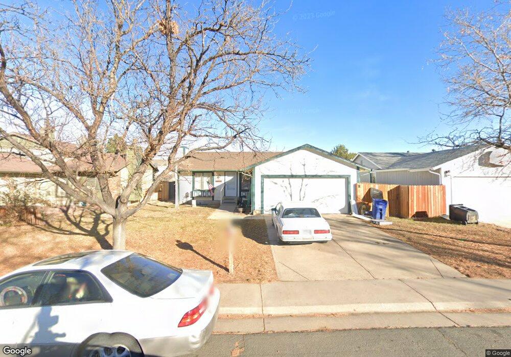
16727 E Mansfield Cir Aurora, CO 80013
Mission Viejo NeighborhoodEstimated Value: $411,000 - $468,000
3
Beds
1
Bath
1,120
Sq Ft
$389/Sq Ft
Est. Value
About This Home
This home is located at 16727 E Mansfield Cir, Aurora, CO 80013 and is currently estimated at $435,548, approximately $388 per square foot. 16727 E Mansfield Cir is a home located in Arapahoe County with nearby schools including Mission Viejo Elementary School, Laredo Middle School, and Smoky Hill High School.
Ownership History
Date
Name
Owned For
Owner Type
Purchase Details
Closed on
Oct 7, 2003
Sold by
Lamberton William J and Lamberton Sandra G
Bought by
Lamberton Properties Llp
Current Estimated Value
Purchase Details
Closed on
Aug 20, 1998
Sold by
Lamberton William J and Lamberton Sandra G
Bought by
Lamberton William J and Lamberton Sandra G
Purchase Details
Closed on
Aug 1, 1980
Sold by
Conversion Arapco
Bought by
Conversion Arapco
Purchase Details
Closed on
Jul 4, 1776
Bought by
Conversion Arapco
Create a Home Valuation Report for This Property
The Home Valuation Report is an in-depth analysis detailing your home's value as well as a comparison with similar homes in the area
Home Values in the Area
Average Home Value in this Area
Purchase History
| Date | Buyer | Sale Price | Title Company |
|---|---|---|---|
| Lamberton Properties Llp | -- | -- | |
| Lamberton William J | -- | -- | |
| Conversion Arapco | -- | -- | |
| Conversion Arapco | -- | -- |
Source: Public Records
Tax History
| Year | Tax Paid | Tax Assessment Tax Assessment Total Assessment is a certain percentage of the fair market value that is determined by local assessors to be the total taxable value of land and additions on the property. | Land | Improvement |
|---|---|---|---|---|
| 2025 | $2,184 | $25,863 | -- | -- |
| 2024 | $1,926 | $27,839 | -- | -- |
| 2023 | $1,926 | $27,839 | $0 | $0 |
| 2022 | $1,621 | $22,379 | $0 | $0 |
| 2021 | $1,631 | $22,379 | $0 | $0 |
| 2020 | $1,537 | $21,407 | $0 | $0 |
| 2019 | $1,483 | $21,407 | $0 | $0 |
| 2018 | $1,298 | $17,611 | $0 | $0 |
| 2017 | $1,280 | $17,611 | $0 | $0 |
| 2016 | $1,209 | $15,602 | $0 | $0 |
| 2015 | $1,150 | $15,602 | $0 | $0 |
| 2014 | $898 | $10,786 | $0 | $0 |
| 2013 | -- | $11,420 | $0 | $0 |
Source: Public Records
Map
Nearby Homes
- 16656 E Mansfield Cir
- 3868 S Nucla St
- 3850 S Olathe Cir
- 16907 E Kent Dr
- 16796 E Kent Dr
- 3984 S Pitkin Way
- 16897 E Napa Dr
- 16743 E Kenyon Dr
- 3620 S Olathe Way
- 17301 E Mansfield Ave Unit 122L
- 3752 S Pitkin Ct
- 17129 E Kenyon Place
- 4054 S Quintero Way
- 3577 S Ouray Cir
- 3584 S Olathe Way
- 17212 E Oberlin Place
- 3581 S Olathe St
- 4108 S Richfield St
- 17361 E Mansfield Ave Unit 532R
- 17361 E Mansfield Ave Unit 512L
- 16717 E Mansfield Cir
- 16737 E Mansfield Cir
- 3862 S Ouray Way
- 16747 E Mansfield Cir
- 3860 S Ouray Way
- 16707 E Mansfield Cir
- 3852 S Ouray Way
- 3872 S Ouray Way
- 16728 E Mansfield Cir
- 16757 E Mansfield Cir
- 16738 E Mansfield Cir
- 16718 E Mansfield Cir
- 16788 E Mansfield Cir
- 3850 S Ouray Way
- 16708 E Mansfield Cir
- 16695 E Mansfield Cir
- 16696 E Mansfield Cir
- 3821 S Ouray Way
- 16767 E Mansfield Cir
- 16798 E Mansfield Cir
Your Personal Tour Guide
Ask me questions while you tour the home.