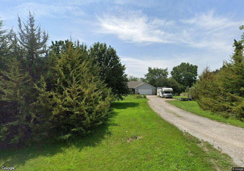
16728 Auburn Cir Wamego, KS 66547
Estimated Value: $198,000 - $407,000
4
Beds
3
Baths
1,552
Sq Ft
$225/Sq Ft
Est. Value
About This Home
This home is located at 16728 Auburn Cir, Wamego, KS 66547 and is currently estimated at $348,580, approximately $224 per square foot. 16728 Auburn Cir is a home located in Pottawatomie County with nearby schools including Central Elementary School, West Elementary School, and Wamego Middle School.
Ownership History
Date
Name
Owned For
Owner Type
Purchase Details
Closed on
Jul 23, 2020
Sold by
Mccaffrey Ret
Bought by
Mccaffrey Michael J and Mccaffrey Sharon P
Current Estimated Value
Home Financials for this Owner
Home Financials are based on the most recent Mortgage that was taken out on this home.
Original Mortgage
$189,500
Outstanding Balance
$168,036
Interest Rate
3.1%
Mortgage Type
New Conventional
Estimated Equity
$180,544
Purchase Details
Closed on
Aug 21, 2019
Sold by
Mccaffrey Ft
Bought by
Mccaffrey Michael J and Mccaffrey Sharon P
Home Financials for this Owner
Home Financials are based on the most recent Mortgage that was taken out on this home.
Original Mortgage
$240,000
Interest Rate
3.7%
Mortgage Type
New Conventional
Purchase Details
Closed on
Oct 22, 2014
Sold by
Mccaffrey Michael J and Mccaffrey Sharon
Bought by
Mccaffrey Michael J and Mccaffrey Sharon
Create a Home Valuation Report for This Property
The Home Valuation Report is an in-depth analysis detailing your home's value as well as a comparison with similar homes in the area
Home Values in the Area
Average Home Value in this Area
Purchase History
| Date | Buyer | Sale Price | Title Company |
|---|---|---|---|
| Mccaffrey Michael J | -- | None Available | |
| Mccaffrey Michael J | -- | -- | |
| Mccaffrey Michael J | -- | None Available |
Source: Public Records
Mortgage History
| Date | Status | Borrower | Loan Amount |
|---|---|---|---|
| Open | Mccaffrey Michael J | $189,500 | |
| Previous Owner | Mccaffrey Michael J | $240,000 |
Source: Public Records
Tax History Compared to Growth
Tax History
| Year | Tax Paid | Tax Assessment Tax Assessment Total Assessment is a certain percentage of the fair market value that is determined by local assessors to be the total taxable value of land and additions on the property. | Land | Improvement |
|---|---|---|---|---|
| 2025 | $3,482 | $39,908 | $9,540 | $30,368 |
| 2024 | $35 | $38,530 | $9,244 | $29,286 |
| 2023 | $3,527 | $37,596 | $9,244 | $28,352 |
| 2022 | $3,059 | $37,280 | $9,061 | $28,219 |
| 2021 | $3,059 | $33,705 | $8,784 | $24,921 |
| 2020 | $3,059 | $33,503 | $8,697 | $24,806 |
| 2019 | $3,136 | $33,922 | $8,065 | $25,857 |
| 2018 | $3,209 | $33,888 | $7,950 | $25,938 |
| 2017 | $3,142 | $32,773 | $7,800 | $24,973 |
| 2016 | $2,919 | $31,065 | $6,609 | $24,456 |
| 2015 | -- | $29,728 | $5,440 | $24,288 |
| 2014 | -- | $29,646 | $4,980 | $24,666 |
Source: Public Records
Map
Nearby Homes
- 4639 Meadow Ln
- 2102 Henry Dr Unit Lot 4
- 5310 Ashley Rd
- 1311 16th St
- 5310 Kaw Valley Rd
- 1505 Lilac Ln
- 4320 Rebecca Ln
- 1403 Lilac Ln
- 2203 Country Club Dr
- 1609 Sunset Dr
- 814 14th St
- 0000 Highway 24
- 903 Poplar St
- 1500 Grandview Dr
- 910 Poplar St
- 1104 8th St
- 503 Parkview Dr
- 609 Spruce St
- 509 Chestnut St
- 914 Ash St