1673 Garfield Ave West Branch, IA 52358
Estimated Value: $420,000 - $519,491
3
Beds
2
Baths
3,686
Sq Ft
$124/Sq Ft
Est. Value
About This Home
This home is located at 1673 Garfield Ave, West Branch, IA 52358 and is currently estimated at $455,373, approximately $123 per square foot. 1673 Garfield Ave is a home located in Cedar County with nearby schools including Hoover Elementary School, West Branch Middle School, and West Branch High School.
Ownership History
Date
Name
Owned For
Owner Type
Purchase Details
Closed on
Aug 14, 2014
Sold by
Lyons Steve R and Lyons Theresa J
Bought by
Lett Darrin J and Lett Shelly A
Current Estimated Value
Home Financials for this Owner
Home Financials are based on the most recent Mortgage that was taken out on this home.
Original Mortgage
$208,000
Outstanding Balance
$158,540
Interest Rate
4.1%
Mortgage Type
New Conventional
Estimated Equity
$296,833
Create a Home Valuation Report for This Property
The Home Valuation Report is an in-depth analysis detailing your home's value as well as a comparison with similar homes in the area
Home Values in the Area
Average Home Value in this Area
Purchase History
| Date | Buyer | Sale Price | Title Company |
|---|---|---|---|
| Lett Darrin J | $260,000 | None Available |
Source: Public Records
Mortgage History
| Date | Status | Borrower | Loan Amount |
|---|---|---|---|
| Open | Lett Darrin J | $208,000 |
Source: Public Records
Tax History Compared to Growth
Tax History
| Year | Tax Paid | Tax Assessment Tax Assessment Total Assessment is a certain percentage of the fair market value that is determined by local assessors to be the total taxable value of land and additions on the property. | Land | Improvement |
|---|---|---|---|---|
| 2024 | $4,498 | $358,650 | $17,500 | $341,150 |
| 2023 | $4,128 | $337,130 | $17,500 | $319,630 |
| 2022 | $3,990 | $287,140 | $13,770 | $273,370 |
| 2021 | $3,846 | $287,140 | $13,770 | $273,370 |
| 2020 | $3,740 | $258,270 | $14,930 | $243,340 |
| 2019 | $3,144 | $250,840 | $0 | $0 |
| 2018 | $3,074 | $250,840 | $0 | $0 |
| 2017 | $3,150 | $237,900 | $0 | $0 |
| 2016 | $3,152 | $237,900 | $0 | $0 |
| 2015 | $2,932 | $224,140 | $0 | $0 |
| 2014 | $2,882 | $227,980 | $0 | $0 |
Source: Public Records
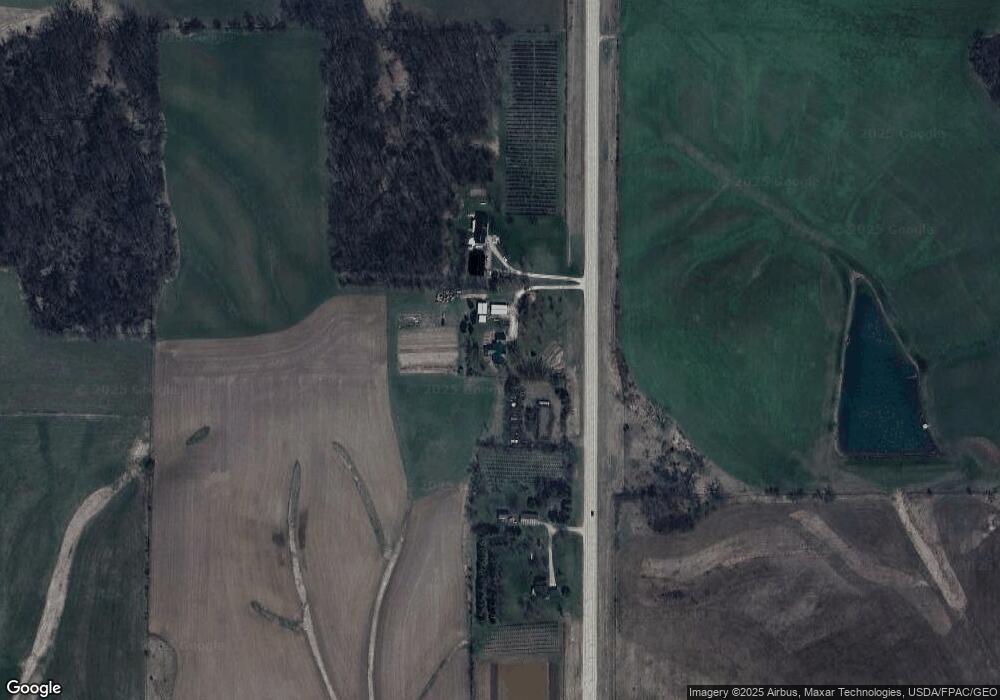
Map
Nearby Homes
- 660 Garfield Rd
- 325 Elm St
- 896 Daulton Dr
- 1465 Snaggy Ridge Rd
- T.B.D. 275th St
- 1908 Charles Ave Lot 2
- 1912 Charles Ave Lot 3
- 1924 Charles Ave Lot 6
- 1928 Charles Ave Lot 7
- 1932 Charles Ave Lot 8
- 1904 Charles Ave
- 22 Bradley Ln Unit AC22
- 23 Bradley Ln Unit AC23
- 62 Eisenhower St Unit GB62
- 57 Eisenhower St Unit GA57
- 108 Marshall Ave Unit DC108
- 512 E Main St
- 423 Water St
- 0 Pleasant View Dr Parcel
- 426 N 1st St
- 1667 Garfield Ave
- 1668 Garfield Ave
- 1670 Garfield Ave
- 1681 Garfield Ave
- 1668* Garfield Ave
- 1670* Garfield Ave
- 640 Garfield Rd
- 576 260th St
- 1751 275th St
- 1694 Franklin Ave
- 637 Garfield Rd
- 625 Garfield Rd
- 639 Garfield Rd
- 646 Garfield Rd
- 555 260th St
- 563 260th St
- 553 260th St
- 1696 Franklin Ave
- 1767 275th St
- 1701 Grant Ave