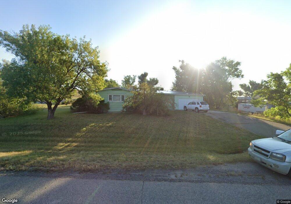
16731 Iowa Ave Broadview, MT 59015
Estimated Value: $265,000 - $407,000
4
Beds
4
Baths
3,168
Sq Ft
$103/Sq Ft
Est. Value
About This Home
This home is located at 16731 Iowa Ave, Broadview, MT 59015 and is currently estimated at $325,295, approximately $102 per square foot. 16731 Iowa Ave is a home with nearby schools including Broadview High School.
Ownership History
Date
Name
Owned For
Owner Type
Purchase Details
Closed on
Oct 19, 2018
Sold by
Robert C Conover Ret
Bought by
Mullikin Nash
Current Estimated Value
Home Financials for this Owner
Home Financials are based on the most recent Mortgage that was taken out on this home.
Original Mortgage
$112,500
Outstanding Balance
$98,315
Interest Rate
4.6%
Mortgage Type
New Conventional
Estimated Equity
$226,980
Purchase Details
Closed on
May 19, 2009
Sold by
Conover Robert C and Conover Margaret A
Bought by
Conover Robert C
Create a Home Valuation Report for This Property
The Home Valuation Report is an in-depth analysis detailing your home's value as well as a comparison with similar homes in the area
Home Values in the Area
Average Home Value in this Area
Purchase History
| Date | Buyer | Sale Price | Title Company |
|---|---|---|---|
| Mullikin Nash | -- | -- | |
| Conover Robert C | -- | None Available |
Source: Public Records
Mortgage History
| Date | Status | Borrower | Loan Amount |
|---|---|---|---|
| Open | Mullikin Nash | $112,500 |
Source: Public Records
Tax History Compared to Growth
Tax History
| Year | Tax Paid | Tax Assessment Tax Assessment Total Assessment is a certain percentage of the fair market value that is determined by local assessors to be the total taxable value of land and additions on the property. | Land | Improvement |
|---|---|---|---|---|
| 2025 | $2,120 | $278,800 | $13,270 | $265,530 |
| 2024 | $2,120 | $259,900 | $18,271 | $241,629 |
| 2023 | $2,087 | $259,900 | $18,271 | $241,629 |
| 2022 | $1,549 | $178,800 | $17,215 | $161,585 |
| 2021 | $1,531 | $178,800 | $0 | $0 |
| 2020 | $1,504 | $180,900 | $0 | $0 |
| 2019 | $1,512 | $180,900 | $0 | $0 |
| 2018 | $1,475 | $193,200 | $0 | $0 |
| 2017 | $1,404 | $193,200 | $0 | $0 |
| 2016 | $1,208 | $167,700 | $0 | $0 |
| 2015 | $1,191 | $167,700 | $0 | $0 |
| 2014 | $1,176 | $86,337 | $0 | $0 |
Source: Public Records
Map
Nearby Homes
- 14050 4th St
- 14053 4th St
- TBD 4th St
- TBD Goose Neck Rd
- 00 W Comanche Rd
- lot 3 Rocky Ave
- 9784 Winter Wheat Way
- TBD Winter Wheat Way
- TBD Newana Ln
- TBD Winalta Ave
- TBD Roughrider Rd
- 530 Belmont Rd
- 201 Bundy Rd
- 325 Main St
- 209 First St E
- 113 First Ave W
- 7069 Mainwaring Rd
- 7954 Popelka Rd
- Wrr-2 Shepherd Acton Rd
- 72 Pioneer Trail
- 16732 Montana Ave
- 13819 1st St
- 16716 Iowa Ave
- 16706 Iowa Ave
- 16725 Montana Ave
- 000 21 Mile Rd
- 0 21 Mile Rd
- 16655 Iowa Ave
- 16715 Park Ave
- 13820 2nd St
- 16713 Montana Ave
- 13925 2nd St
- 16651 Iowa Ave
- 16655 Donald Ave
- 16641 Iowa Ave
- 16644 Montana Ave
- 16722 Donald Ave
- 16706 Donald Ave
- 16712 Donald Ave
- 16736 Donald Ave