1674 Old Highway 34 Mount Pleasant, IA 52641
Estimated Value: $332,622 - $407,000
2
Beds
4
Baths
2,040
Sq Ft
$184/Sq Ft
Est. Value
About This Home
This home is located at 1674 Old Highway 34, Mount Pleasant, IA 52641 and is currently estimated at $374,656, approximately $183 per square foot. 1674 Old Highway 34 is a home located in Henry County with nearby schools including Mount Pleasant High School and Mount Pleasant Christian School.
Ownership History
Date
Name
Owned For
Owner Type
Purchase Details
Closed on
Sep 17, 2007
Sold by
Messei Robert B and Messei Jerri A
Bought by
Anderson Steven M and Anderson Julie D
Current Estimated Value
Home Financials for this Owner
Home Financials are based on the most recent Mortgage that was taken out on this home.
Original Mortgage
$160,800
Outstanding Balance
$102,276
Interest Rate
6.66%
Mortgage Type
Future Advance Clause Open End Mortgage
Estimated Equity
$272,380
Create a Home Valuation Report for This Property
The Home Valuation Report is an in-depth analysis detailing your home's value as well as a comparison with similar homes in the area
Home Values in the Area
Average Home Value in this Area
Purchase History
| Date | Buyer | Sale Price | Title Company |
|---|---|---|---|
| Anderson Steven M | $201,000 | None Available |
Source: Public Records
Mortgage History
| Date | Status | Borrower | Loan Amount |
|---|---|---|---|
| Open | Anderson Steven M | $160,800 |
Source: Public Records
Tax History Compared to Growth
Tax History
| Year | Tax Paid | Tax Assessment Tax Assessment Total Assessment is a certain percentage of the fair market value that is determined by local assessors to be the total taxable value of land and additions on the property. | Land | Improvement |
|---|---|---|---|---|
| 2025 | $4,486 | $330,220 | $43,050 | $287,170 |
| 2024 | $4,220 | $302,880 | $43,050 | $259,830 |
| 2023 | $4,206 | $302,880 | $43,050 | $259,830 |
| 2022 | $4,218 | $245,760 | $43,050 | $202,710 |
| 2021 | $4,218 | $245,760 | $43,050 | $202,710 |
| 2020 | $4,138 | $233,090 | $43,050 | $190,040 |
| 2019 | $3,846 | $223,400 | $0 | $0 |
| 2018 | $3,680 | $223,400 | $0 | $0 |
| 2017 | $3,680 | $208,520 | $0 | $0 |
| 2016 | $3,350 | $208,520 | $0 | $0 |
| 2015 | $3,350 | $188,430 | $0 | $0 |
| 2014 | $2,982 | $188,430 | $0 | $0 |
Source: Public Records
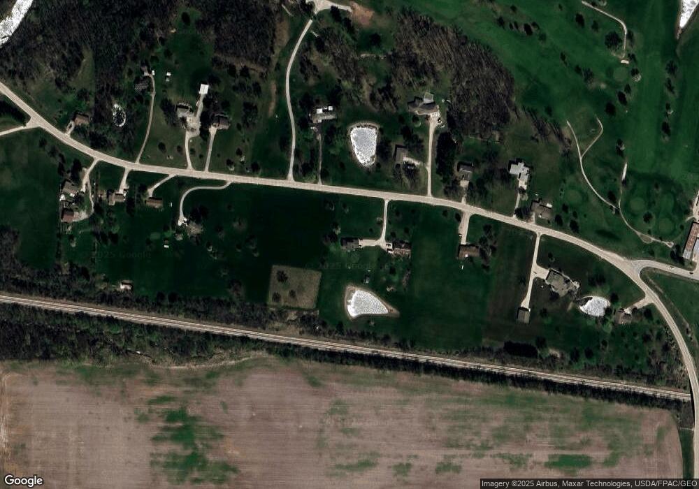
Map
Nearby Homes
- LOT 12 Pin Oaks Ln
- LOT 10 Pin Oaks Ln
- LOT 11 Pin Oaks Ln
- LOT 7 Pin Oaks Ln
- 0 Pin Oaks Lot 8 Unit 6309313
- LOT 14 Pin Oaks Ln
- LOT 15 Pin Oaks Ln
- Tbd Pin Oaks Ln
- TBD Pin Oaks Ln
- 2336 Sunrise Cir
- 2100 W Washington St
- 1206 W Saunders St
- 301 N Lafayette St
- 802 N Bergdahl Cir
- 810 W Washington St
- 603 W Courtland St
- 700 W Henry St
- 0 W Clay St
- 0 Clay St W
- 514 W Vine St
- 1676 Old Highway 34
- 1681 Old Highway 34
- 1669 Old Highway 34
- 1684 Old Highway 34
- 1671 Old Highway 34
- 1683 Old Highway 34
- 1666 Old Highway 34
- 1679 Old Highway 34
- 1665 Old Highway 34
- 1685 Old Highway 34
- 1687 Old Highway 34
- 1660 Old Highway 34
- 1663 Old Highway 34
- 1688 Old Highway 34
- 1656 Old Highway 34
- 1657 Old Highway 34
- 605 N Goodyear Rd
- 1654 Old Highway 34
- 1653 Old Highway 34
- 1648 Old Highway 34