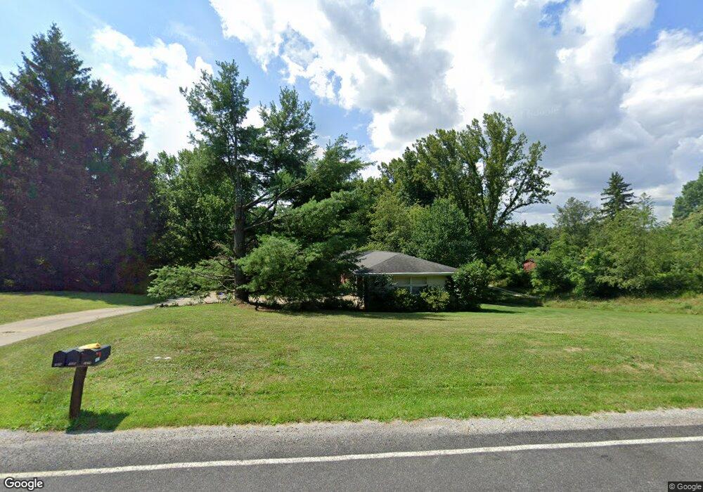
1674 Stine Rd Peninsula, OH 44264
Estimated Value: $312,000 - $549,000
3
Beds
3
Baths
1,749
Sq Ft
$240/Sq Ft
Est. Value
About This Home
This home is located at 1674 Stine Rd, Peninsula, OH 44264 and is currently estimated at $420,477, approximately $240 per square foot. 1674 Stine Rd is a home located in Summit County with nearby schools including Woodridge Middle School, Woodridge High School, and Heritage Classical Academy - Peninsula.
Ownership History
Date
Name
Owned For
Owner Type
Purchase Details
Closed on
Dec 19, 2022
Sold by
Brown Richard E & Terra D
Bought by
Brown Family Irrevocable Trust
Current Estimated Value
Purchase Details
Closed on
Aug 13, 2003
Sold by
Conger Kenneth A
Bought by
Brown Richard E and Brown Terra D
Home Financials for this Owner
Home Financials are based on the most recent Mortgage that was taken out on this home.
Original Mortgage
$200,000
Interest Rate
5.47%
Mortgage Type
Purchase Money Mortgage
Create a Home Valuation Report for This Property
The Home Valuation Report is an in-depth analysis detailing your home's value as well as a comparison with similar homes in the area
Purchase History
| Date | Buyer | Sale Price | Title Company |
|---|---|---|---|
| Brown Family Irrevocable Trust | -- | -- | |
| Brown Richard E | $286,000 | Midland Commerce Group |
Source: Public Records
Mortgage History
| Date | Status | Borrower | Loan Amount |
|---|---|---|---|
| Previous Owner | Brown Richard E | $200,000 |
Source: Public Records
Tax History
| Year | Tax Paid | Tax Assessment Tax Assessment Total Assessment is a certain percentage of the fair market value that is determined by local assessors to be the total taxable value of land and additions on the property. | Land | Improvement |
|---|---|---|---|---|
| 2024 | $6,270 | $101,959 | $15,131 | $86,828 |
| 2023 | $6,427 | $101,959 | $15,131 | $86,828 |
| 2022 | $5,432 | $87,931 | $13,755 | $74,176 |
| 2021 | $5,478 | $87,931 | $13,755 | $74,176 |
| 2020 | $5,355 | $87,940 | $13,760 | $74,180 |
| 2019 | $5,414 | $81,040 | $13,830 | $67,210 |
| 2018 | $5,506 | $81,040 | $13,830 | $67,210 |
| 2017 | $4,413 | $81,040 | $13,830 | $67,210 |
| 2016 | $4,506 | $69,450 | $11,920 | $57,530 |
| 2015 | $4,413 | $69,450 | $11,920 | $57,530 |
| 2014 | $4,168 | $69,450 | $11,920 | $57,530 |
| 2013 | $4,150 | $69,450 | $11,920 | $57,530 |
Source: Public Records
Map
Nearby Homes
- 3175 W Streetsboro Rd
- 3123 Aviemore Way
- 3421 E Galloway Dr
- 3521 Hamilton Dr
- 3454 Skye Ridge Dr
- 3582 W Glencoe Rd
- 3487 Crandall Ave
- 10149 Brookhaven Ln
- V/L Brecksville Rd
- 0 Olde Eight Rd Unit 5156367
- 0 Hidden Canyon Dr
- 10179 Brookhaven
- 8553 Olde 8 Rd
- 765 Ravenhill Rd
- 4017 Bellaire Ln
- 8720 Olde 8 Rd
- 952 Hemlock Ln
- 7314 Forest Cove Ln Unit B
- 940 Trimble Place
- 7530 S Boyden Rd
Your Personal Tour Guide
Ask me questions while you tour the home.