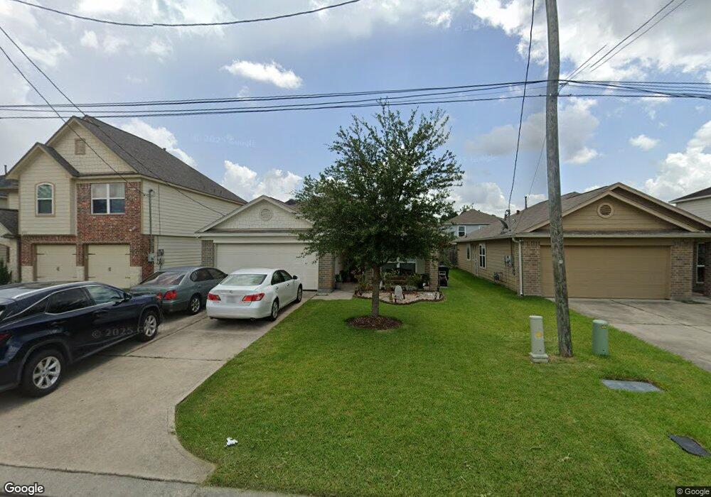
16767 N Rail Dr Conroe, TX 77385
Estimated Value: $231,115 - $272,000
Studio
1
Bath
1,814
Sq Ft
$141/Sq Ft
Est. Value
About This Home
This home is located at 16767 N Rail Dr, Conroe, TX 77385 and is currently estimated at $256,279, approximately $141 per square foot. 16767 N Rail Dr is a home with nearby schools including Oak Ridge Elementary School, Irons J High School, and Vogel Intermediate School.
Ownership History
Date
Name
Owned For
Owner Type
Purchase Details
Closed on
Oct 24, 2014
Sold by
Long Lake Ltd
Bought by
Park John H and Park Kayla Lee
Current Estimated Value
Home Financials for this Owner
Home Financials are based on the most recent Mortgage that was taken out on this home.
Original Mortgage
$116,904
Outstanding Balance
$90,116
Interest Rate
4.25%
Mortgage Type
New Conventional
Estimated Equity
$166,163
Purchase Details
Closed on
Feb 28, 2013
Sold by
Holland Woodrow
Bought by
Park John H and Kayla Lee
Create a Home Valuation Report for This Property
The Home Valuation Report is an in-depth analysis detailing your home's value as well as a comparison with similar homes in the area
Home Values in the Area
Average Home Value in this Area
Purchase History
| Date | Buyer | Sale Price | Title Company |
|---|---|---|---|
| Park John H | -- | South Land Title Llc | |
| Park John H | -- | -- |
Source: Public Records
Mortgage History
| Date | Status | Borrower | Loan Amount |
|---|---|---|---|
| Open | Park John H | $116,904 |
Source: Public Records
Tax History
| Year | Tax Paid | Tax Assessment Tax Assessment Total Assessment is a certain percentage of the fair market value that is determined by local assessors to be the total taxable value of land and additions on the property. | Land | Improvement |
|---|---|---|---|---|
| 2025 | $5,397 | $263,000 | $17,518 | $245,482 |
| 2024 | $5,728 | $243,042 | $17,518 | $225,524 |
| 2023 | $5,728 | $257,800 | $17,520 | $240,280 |
| 2022 | $4,979 | $242,730 | $17,520 | $225,210 |
| 2021 | $4,768 | $182,760 | $17,520 | $165,240 |
| 2020 | $4,654 | $168,730 | $17,520 | $151,210 |
| 2019 | $4,819 | $167,060 | $12,660 | $154,400 |
| 2018 | $4,500 | $156,010 | $12,660 | $143,350 |
| 2017 | $4,585 | $156,010 | $12,660 | $143,350 |
| 2016 | $4,329 | $147,310 | $12,660 | $134,650 |
| 2015 | $118 | $137,700 | $12,660 | $125,040 |
| 2014 | $118 | $3,670 | $3,670 | $0 |
Source: Public Records
Map
Nearby Homes
- 16771 N Rail Dr
- 16763 N Gull Dr
- 16751 N Rail Dr
- 16774 Fallen Timbers Dr
- 16758 N Blue Jay Dr
- 16746 Fallen Timbers Dr
- 9838 Bobolink Dr
- 16736 Northern Flicker Trail
- 16803 W Whimbrel Cir
- 10190 N Whimbrel Cir
- 16731 Foursquare Dr
- 16820 Infield Ct
- 9940 Swallow Dr
- 10003 S Whimbrel Cir
- 9906 Knob Hollow Way
- 10311 Woodhollow Dr
- 16870 Blackberry Lily Ln
- 16707 Lark Bunting Ln
- 102 Wimberly Way
- 9934 Yearling Place
- 16763 N Rail Dr
- 16759 N Rail Dr
- 16775 N Rail Dr
- 16766 N Gull Dr
- 16762 N Gull Dr
- 16770 N Gull Dr
- 16758 N Gull Dr
- 16774 N Gull Dr
- 16755 N Rail Dr
- 16779 N Rail Dr
- 16766 N Rail Dr
- 16754 N Gull Dr
- 16770 N Rail Dr
- 16762 N Rail Dr
- 16774 N Rail Dr
- 16750 N Gull Dr
- 16754 N Rail Dr
- 16783 N Rail Dr
- 16747 N Rail Dr
- 16778 N Rail Dr
Your Personal Tour Guide
Ask me questions while you tour the home.