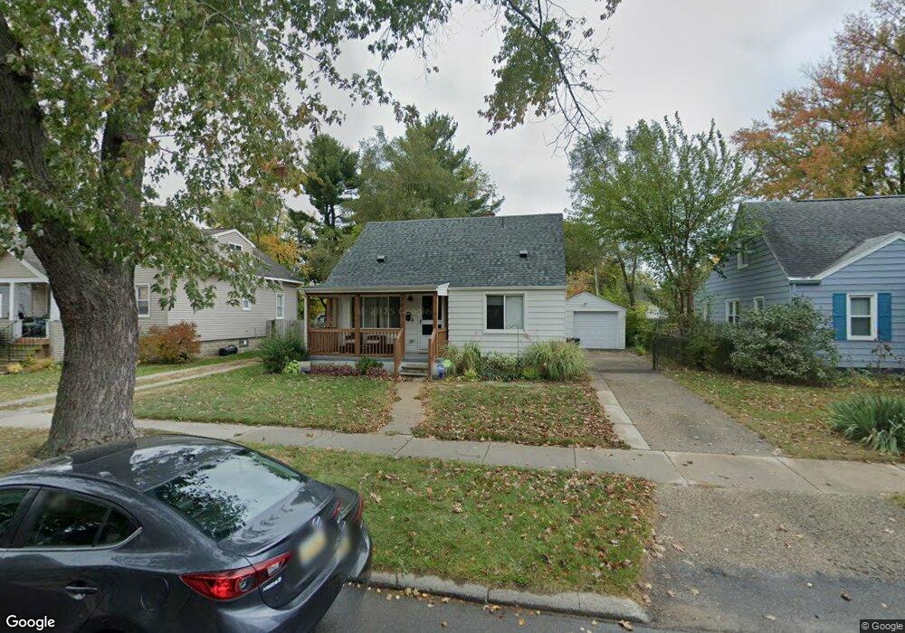
1677 Pearson St Unit Bldg-Unit Ferndale, MI 48220
Estimated Value: $280,831 - $314,000
2
Beds
2
Baths
899
Sq Ft
$327/Sq Ft
Est. Value
About This Home
This home is located at 1677 Pearson St Unit Bldg-Unit, Ferndale, MI 48220 and is currently estimated at $294,208, approximately $327 per square foot. 1677 Pearson St Unit Bldg-Unit is a home located in Oakland County with nearby schools including Ferndale Upper Elementary Campus, Ferndale Lower Elementary Campus, and Ferndale Middle School.
Ownership History
Date
Name
Owned For
Owner Type
Purchase Details
Closed on
Oct 29, 2021
Sold by
Declercq and Lisa
Bought by
Atkins Carol and Reed Virginia
Current Estimated Value
Purchase Details
Closed on
Jun 1, 2018
Sold by
Omotoso Michael
Bought by
Declercq Austin and Declercq Lisa
Home Financials for this Owner
Home Financials are based on the most recent Mortgage that was taken out on this home.
Original Mortgage
$174,600
Interest Rate
4.5%
Mortgage Type
New Conventional
Purchase Details
Closed on
Aug 23, 2002
Sold by
Samano Adnan K
Bought by
Omotoso Michael
Create a Home Valuation Report for This Property
The Home Valuation Report is an in-depth analysis detailing your home's value as well as a comparison with similar homes in the area
Home Values in the Area
Average Home Value in this Area
Purchase History
| Date | Buyer | Sale Price | Title Company |
|---|---|---|---|
| Atkins Carol | $250,000 | None Listed On Document | |
| Declercq Austin | $180,000 | None Available | |
| Omotoso Michael | $135,000 | -- |
Source: Public Records
Mortgage History
| Date | Status | Borrower | Loan Amount |
|---|---|---|---|
| Previous Owner | Declercq Austin | $174,600 | |
| Closed | Omotoso Michael | -- |
Source: Public Records
Tax History Compared to Growth
Tax History
| Year | Tax Paid | Tax Assessment Tax Assessment Total Assessment is a certain percentage of the fair market value that is determined by local assessors to be the total taxable value of land and additions on the property. | Land | Improvement |
|---|---|---|---|---|
| 2024 | $5,031 | $115,160 | $0 | $0 |
| 2023 | $4,893 | $108,130 | $0 | $0 |
| 2022 | $4,924 | $90,960 | $0 | $0 |
| 2021 | $4,088 | $82,070 | $0 | $0 |
| 2020 | $3,872 | $76,090 | $0 | $0 |
| 2019 | $3,936 | $69,800 | $0 | $0 |
| 2018 | $2,335 | $55,620 | $0 | $0 |
| 2017 | $2,305 | $54,490 | $0 | $0 |
| 2016 | $2,274 | $50,840 | $0 | $0 |
| 2015 | -- | $47,380 | $0 | $0 |
| 2014 | -- | $42,720 | $0 | $0 |
| 2011 | -- | $45,270 | $0 | $0 |
Source: Public Records
Map
Nearby Homes
- 1538 Leroy St
- 21433 Westview Ave
- 1526 Albany St
- 1685 W Troy St
- 21395 Westview Ave
- 21392 Bethlawn Blvd
- 8530 Saratoga St
- 8761 Albany St
- 21341 Reimanville Ave
- 8610 Saratoga St
- 21078 Mitchelldale Ave
- 21036 Westview Ave
- 21326 Ithaca Ave
- 832 Pinecrest Dr
- 10111 Corning St
- 964 W Marshall St
- 21056 Woodside Ave
- 23231 Forest St
- 20885 Westview Ave
- 21040 Woodside Ave
- 1677 Pearson St
- 1687 Pearson St
- 1667 Pearson St
- 1697 Pearson St
- 1678 W Hazelhurst St
- 1657 Pearson St
- 1668 W Hazelhurst St
- 1647 Pearson St
- 1705 Pearson St
- 1696 W Hazelhurst St
- 1658 W Hazelhurst St
- 1686 Pearson St
- 1666 Pearson St
- 1696 Pearson St
- 1706 W Hazelhurst St
- 1637 Pearson St
- 1725 Pearson St
- 1648 W Hazelhurst St
- 1716 W Hazelhurst St
- 1706 Pearson St