1678 Sawgrass Rd Decorah, IA 52101
Estimated Value: $530,463 - $722,000
4
Beds
3
Baths
1,897
Sq Ft
$323/Sq Ft
Est. Value
About This Home
This home is located at 1678 Sawgrass Rd, Decorah, IA 52101 and is currently estimated at $612,366, approximately $322 per square foot. 1678 Sawgrass Rd is a home located in Winneshiek County with nearby schools including West Side Elementary School, John Cline Elementary School, and Carrie Lee Elementary School.
Ownership History
Date
Name
Owned For
Owner Type
Purchase Details
Closed on
Jul 15, 2013
Sold by
Winger Stephen Lester and Winger Wanda F
Bought by
Lundtvedt Dwayne and Lundtvedt Lisa Mae
Current Estimated Value
Home Financials for this Owner
Home Financials are based on the most recent Mortgage that was taken out on this home.
Original Mortgage
$315,000
Outstanding Balance
$227,432
Interest Rate
3.83%
Mortgage Type
New Conventional
Estimated Equity
$384,934
Create a Home Valuation Report for This Property
The Home Valuation Report is an in-depth analysis detailing your home's value as well as a comparison with similar homes in the area
Purchase History
| Date | Buyer | Sale Price | Title Company |
|---|---|---|---|
| Lundtvedt Dwayne | $402,500 | None Available |
Source: Public Records
Mortgage History
| Date | Status | Borrower | Loan Amount |
|---|---|---|---|
| Open | Lundtvedt Dwayne | $315,000 |
Source: Public Records
Tax History
| Year | Tax Paid | Tax Assessment Tax Assessment Total Assessment is a certain percentage of the fair market value that is determined by local assessors to be the total taxable value of land and additions on the property. | Land | Improvement |
|---|---|---|---|---|
| 2025 | $5,496 | $523,000 | $59,710 | $463,290 |
| 2024 | $5,496 | $456,450 | $59,710 | $396,740 |
| 2023 | $5,184 | $456,450 | $59,710 | $396,740 |
| 2022 | $4,992 | $399,140 | $49,760 | $349,380 |
| 2021 | $4,810 | $393,900 | $49,760 | $344,140 |
| 2020 | $4,810 | $367,270 | $49,760 | $317,510 |
| 2019 | $4,802 | $367,270 | $0 | $0 |
| 2018 | $4,930 | $367,270 | $0 | $0 |
| 2017 | $4,614 | $329,110 | $0 | $0 |
| 2016 | $4,566 | $329,110 | $0 | $0 |
| 2015 | $4,422 | $314,160 | $0 | $0 |
| 2014 | $4,422 | $314,160 | $0 | $0 |
Source: Public Records
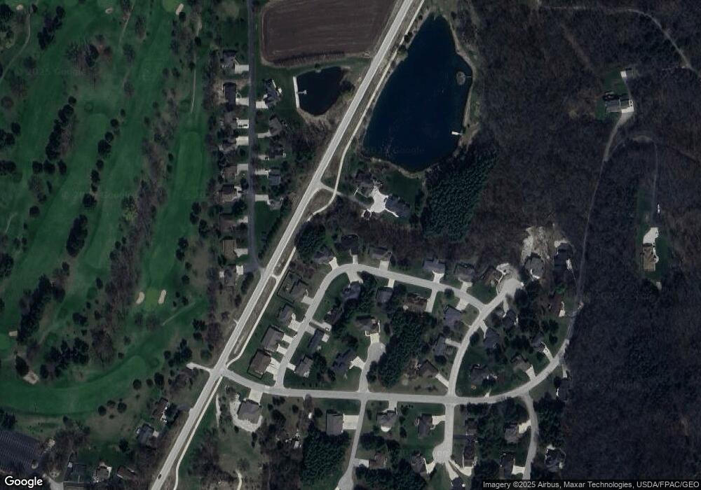
Map
Nearby Homes
- 2521 Gk Ave
- 2416 Crown Rd
- 2389 Red Oak Rd
- 2372 Shagbark Lane Rd
- 0 Shagbark Ln Rd Unit NBR20250458
- 0 Shagbark Ln Rd Unit NBR20250457
- 2361 Allan Drive Rd
- 2354 Shagbark Lane Rd
- 0 Shagbark Lane Rd
- 1004 Shagbark Rd
- 818 E Main St
- 711 Winneshiek Ave
- 608 Moen St
- 0 Commerce Dr
- 803 Clearview Dr
- 405 Oak St
- 401 Williams St
- 310 E Broadway St
- 614 Day St
- 605 Day St
- 1680 Sawgrass Rd
- 1676 Sawgrass Rd
- 1679 Sawgrass Rd
- 0 Sawgrass Rd Unit 20176015
- 0 Sawgrass Rd Unit LOT 1 BLK 1 20161080
- 0 Sawgrass Rd Unit Lot 1 Block 2
- 1675 Sawgrass Rd
- 1682 Sawgrass Rd
- 2568 Golfview Rd
- 0 River Rd
- 2579 River Rd
- 2570 Golfview Rd
- 1683 Sawgrass Rd
- 1672 Sawgrass Rd
- 2555 St Andrews St
- 2555 St Andrews St
- 1684 Sawgrass Rd
- 2572 Golfview Rd
- 1671 Sawgrass Rd
- 1685 Sawgrass Rd
Your Personal Tour Guide
Ask me questions while you tour the home.