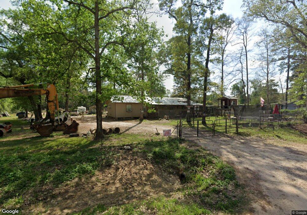
16786 Springfield Dr Conroe, TX 77302
Estimated Value: $211,000 - $317,000
--
Bed
1
Bath
1,040
Sq Ft
$248/Sq Ft
Est. Value
About This Home
This home is located at 16786 Springfield Dr, Conroe, TX 77302 and is currently estimated at $257,865, approximately $247 per square foot. 16786 Springfield Dr is a home located in Montgomery County with nearby schools including Moorhead Junior High School, Grangerland Intermediate School, and Caney Creek High School.
Ownership History
Date
Name
Owned For
Owner Type
Purchase Details
Closed on
Jun 27, 2017
Sold by
Lynch Carol
Bought by
Stephens Eric M
Current Estimated Value
Home Financials for this Owner
Home Financials are based on the most recent Mortgage that was taken out on this home.
Original Mortgage
$50,000
Outstanding Balance
$10,729
Interest Rate
4.02%
Mortgage Type
Purchase Money Mortgage
Estimated Equity
$247,136
Purchase Details
Closed on
Sep 1, 1982
Bought by
Stephens Eric M
Create a Home Valuation Report for This Property
The Home Valuation Report is an in-depth analysis detailing your home's value as well as a comparison with similar homes in the area
Home Values in the Area
Average Home Value in this Area
Purchase History
| Date | Buyer | Sale Price | Title Company |
|---|---|---|---|
| Stephens Eric M | -- | Stewart Title Of Montgomery | |
| Lynch Carol | -- | Stewart Title Of Montgomery | |
| Stephens Eric M | -- | -- |
Source: Public Records
Mortgage History
| Date | Status | Borrower | Loan Amount |
|---|---|---|---|
| Open | Stephens Eric M | $50,000 |
Source: Public Records
Tax History Compared to Growth
Tax History
| Year | Tax Paid | Tax Assessment Tax Assessment Total Assessment is a certain percentage of the fair market value that is determined by local assessors to be the total taxable value of land and additions on the property. | Land | Improvement |
|---|---|---|---|---|
| 2025 | $2,788 | $197,312 | $103,680 | $93,632 |
| 2024 | $2,768 | $176,085 | $103,680 | $72,405 |
| 2023 | $2,768 | $175,340 | $103,680 | $71,660 |
| 2022 | $2,744 | $157,960 | $103,680 | $54,280 |
| 2021 | $1,709 | $92,430 | $51,840 | $40,590 |
| 2020 | $1,797 | $92,430 | $51,840 | $40,590 |
| 2019 | $1,544 | $76,640 | $7,660 | $68,980 |
| 2018 | $1,544 | $76,640 | $7,660 | $68,980 |
| 2017 | $1,558 | $77,100 | $7,660 | $69,440 |
| 2016 | $716 | $35,430 | $7,660 | $63,730 |
| 2015 | $7 | $32,210 | $7,660 | $45,280 |
| 2014 | $7 | $29,280 | $7,660 | $29,390 |
Source: Public Records
Map
Nearby Homes
- 16964 Hazelnut Dr
- 16976 Hazelnut Dr
- 16980 Hazelnut Dr
- 16912 Hazelnut Dr
- 16916 Hazelnut Dr
- 16908 Hazelnut Dr
- 16904 Hazelnut Dr
- 16889 Springfield Dr
- 16905 Hazelnut Dr
- 16909 Hazelnut Dr
- 16994 Hazelnut Dr
- 17014 Hazelnut Dr
- 14325 Ash Tree Dr
- 16866 Needlepoint Dr
- 14308 Ash Tree Dr
- 16858 Needlepoint Dr
- 16875 Needlepoint Dr
- 16891 Needlepoint Dr
- 16853 Needlepoint Dr
- 16849 Needlepoint Dr
- 16758 Springfield Dr
- 16822 Springfield Dr
- 16730 Springfield Dr
- 15248 Rusty Oak Trail
- 16723 Springfield Dr Unit 1
- 16805 Springfield Dr
- 16783 Springfield Dr
- 16698 Springfield Dr
- 16693 Springfield Dr
- 0 Springfield Dr Unit 18851705
- 15231 Rusty Oak Trail
- 16845 Springfield Dr
- 16886 Springfield Dr
- 15435 Willowisp Trail
- 16653 Springfield Dr
- 16885 Springfield Dr
- 16937 Hazelnut Dr
- 15356 Rusty Oak Trail
- 16623 Springfield Dr
- 16601 Springfield