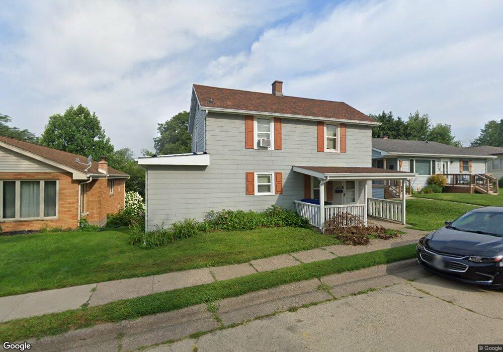
1679 McPoland Ave Dubuque, IA 52001
Estimated Value: $148,162 - $165,000
2
Beds
1
Bath
1,024
Sq Ft
$156/Sq Ft
Est. Value
About This Home
This home is located at 1679 McPoland Ave, Dubuque, IA 52001 and is currently estimated at $159,291, approximately $155 per square foot. 1679 McPoland Ave is a home located in Dubuque County with nearby schools including Irving Elementary School, George Washington Middle School, and Dubuque Senior High School.
Ownership History
Date
Name
Owned For
Owner Type
Purchase Details
Closed on
Sep 18, 2020
Sold by
Arensdorf Robin J and Arensdorf Jeflrey Francis
Bought by
Gille Shawn D
Current Estimated Value
Home Financials for this Owner
Home Financials are based on the most recent Mortgage that was taken out on this home.
Original Mortgage
$84,000
Outstanding Balance
$74,406
Interest Rate
2.8%
Mortgage Type
Future Advance Clause Open End Mortgage
Estimated Equity
$84,885
Create a Home Valuation Report for This Property
The Home Valuation Report is an in-depth analysis detailing your home's value as well as a comparison with similar homes in the area
Home Values in the Area
Average Home Value in this Area
Purchase History
| Date | Buyer | Sale Price | Title Company |
|---|---|---|---|
| Gille Shawn D | $117,500 | None Available |
Source: Public Records
Mortgage History
| Date | Status | Borrower | Loan Amount |
|---|---|---|---|
| Open | Gille Shawn D | $84,000 |
Source: Public Records
Tax History Compared to Growth
Tax History
| Year | Tax Paid | Tax Assessment Tax Assessment Total Assessment is a certain percentage of the fair market value that is determined by local assessors to be the total taxable value of land and additions on the property. | Land | Improvement |
|---|---|---|---|---|
| 2025 | $1,714 | $135,200 | $25,800 | $109,400 |
| 2024 | $1,714 | $119,200 | $24,500 | $94,700 |
| 2023 | $1,664 | $119,200 | $24,500 | $94,700 |
| 2022 | $1,612 | $97,500 | $23,180 | $74,320 |
| 2021 | $1,612 | $97,500 | $23,180 | $74,320 |
| 2020 | $1,240 | $78,550 | $21,890 | $56,660 |
| 2019 | $1,256 | $78,550 | $21,890 | $56,660 |
| 2018 | $1,234 | $76,070 | $20,600 | $55,470 |
| 2017 | $1,164 | $76,070 | $20,600 | $55,470 |
| 2016 | $1,164 | $68,790 | $20,600 | $48,190 |
| 2015 | $1,136 | $68,790 | $20,600 | $48,190 |
| 2014 | $1,106 | $68,790 | $20,600 | $48,190 |
Source: Public Records
Map
Nearby Homes
- 1568 Fairfax Ave
- 1650 Drexel Ave
- 1395 Brown Ave
- 1730 Chaney Rd
- 1821 Glendale Ct
- 2625 New Haven St
- 1896 Floraview Dr
- 1762 Churchill Dr
- 1949 Saint Ambrose St
- 130 Devon Dr
- 1790 Horizon Ct
- 2095 Mullin Rd
- 2035 Broadlawn Rd
- 3080 Saint Anne Dr
- 3130 Ideal Ln
- 1693 Butterfield Rd
- 1993 Hale St
- 17 Jenni St
- 1455 Adair St
- 1425 Adair St
- 1685 McPoland Ave
- 1675 McPoland Ave
- 1691 McPoland Ave
- 1671 McPoland Ave
- 1686 Marmora Ave
- 1676 Marmora Ave
- 1695 McPoland Ave
- 1665 McPoland Ave
- 2620 Pennsylvania Ave
- 1666 Marmora Ave
- 1661 McPoland Ave
- 1686 Wisconsin Ave
- 2644 Pennsylvania Ave
- 1696 Wisconsin Ave
- 1654 Marmora Ave
- 1674 Wisconsin Ave
- 2648 Pennsylvania Ave
- 2652 Pennsylvania Ave
- 1650 Marmora Ave
- 1659 Wisconsin Ave