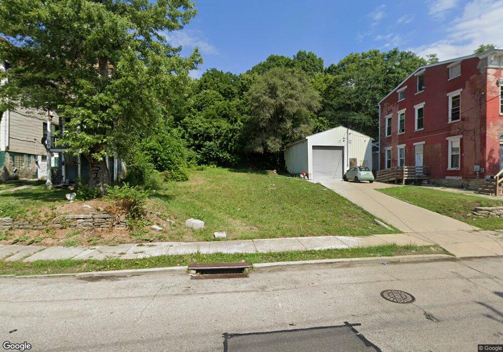
1679 State Ave Cincinnati, OH 45204
East Price Hill NeighborhoodEstimated Value: $81,000 - $181,000
2
Beds
2
Baths
--
Sq Ft
4,792
Sq Ft Lot
About This Home
This home is located at 1679 State Ave, Cincinnati, OH 45204 and is currently estimated at $127,000. 1679 State Ave is a home located in Hamilton County with nearby schools including Oyler School, Robert A. Taft Information Technology High School, and Gilbert A. Dater High School.
Ownership History
Date
Name
Owned For
Owner Type
Purchase Details
Closed on
May 15, 2006
Sold by
Imagine Development Group Ltd
Bought by
Puri Upendra
Current Estimated Value
Purchase Details
Closed on
Mar 30, 2006
Sold by
Abn Amro Mortgage Group Inc
Bought by
Imagine Development Group Ltd
Purchase Details
Closed on
Sep 2, 2004
Sold by
Richter Patrick and Richter Michele
Bought by
Abn Amro Mortgage Group Inc
Purchase Details
Closed on
Apr 9, 2002
Sold by
Act Investments Llc
Bought by
Richter Patrick
Home Financials for this Owner
Home Financials are based on the most recent Mortgage that was taken out on this home.
Original Mortgage
$74,000
Interest Rate
6.95%
Purchase Details
Closed on
Apr 4, 2002
Sold by
Philip Bailey
Bought by
Act Investments Llc
Home Financials for this Owner
Home Financials are based on the most recent Mortgage that was taken out on this home.
Original Mortgage
$74,000
Interest Rate
6.95%
Create a Home Valuation Report for This Property
The Home Valuation Report is an in-depth analysis detailing your home's value as well as a comparison with similar homes in the area
Home Values in the Area
Average Home Value in this Area
Purchase History
| Date | Buyer | Sale Price | Title Company |
|---|---|---|---|
| Puri Upendra | $4,400 | None Available | |
| Imagine Development Group Ltd | -- | None Available | |
| Abn Amro Mortgage Group Inc | -- | -- | |
| Richter Patrick | $68,500 | -- | |
| Act Investments Llc | $15,500 | -- |
Source: Public Records
Mortgage History
| Date | Status | Borrower | Loan Amount |
|---|---|---|---|
| Previous Owner | Richter Patrick | $74,000 |
Source: Public Records
Tax History
| Year | Tax Paid | Tax Assessment Tax Assessment Total Assessment is a certain percentage of the fair market value that is determined by local assessors to be the total taxable value of land and additions on the property. | Land | Improvement |
|---|---|---|---|---|
| 2025 | $121 | $1,656 | $1,656 | -- |
| 2024 | $120 | $1,656 | $1,656 | -- |
| 2023 | $121 | $1,656 | $1,656 | $0 |
| 2022 | $109 | $1,334 | $1,334 | $0 |
| 2021 | $103 | $1,334 | $1,334 | $0 |
| 2020 | $103 | $1,334 | $1,334 | $0 |
| 2019 | $112 | $1,334 | $1,334 | $0 |
| 2018 | $112 | $1,334 | $1,334 | $0 |
| 2017 | $108 | $1,334 | $1,334 | $0 |
| 2016 | $140 | $1,726 | $1,726 | $0 |
| 2015 | $126 | $1,726 | $1,726 | $0 |
| 2014 | $127 | $1,726 | $1,726 | $0 |
| 2013 | $130 | $1,761 | $1,761 | $0 |
Source: Public Records
Map
Nearby Homes
- 1669 State Ave
- 1671 State Ave
- 1708 State Ave
- 1900 State Ave
- 1646 State Ave
- 1948 State Ave
- 2182 Grand Ave
- 2832 Claypole Ave
- 2173 Clara St
- 2169 Clara St
- 2165 Clara St
- 2281 Northside Ave
- 1114 Wing St
- 2829 Glenway Ave
- 2540 Ring Place
- 2227 Grand Ave
- 1699 Westwood Ave
- 1741 Grand Ave
- 1724 Esmonde St
- 2500 Warsaw Ave
Your Personal Tour Guide
Ask me questions while you tour the home.