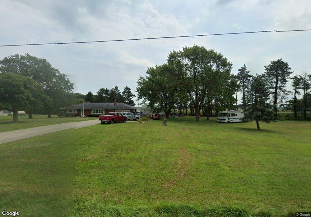
16796 State Route 67 Kenton, OH 43326
Estimated Value: $195,614 - $244,000
2
Beds
1
Bath
1,296
Sq Ft
$170/Sq Ft
Est. Value
About This Home
This home is located at 16796 State Route 67, Kenton, OH 43326 and is currently estimated at $220,654, approximately $170 per square foot. 16796 State Route 67 is a home located in Hardin County with nearby schools including Kenton Elementary School, Kenton Middle School, and Kenton High School.
Ownership History
Date
Name
Owned For
Owner Type
Purchase Details
Closed on
Sep 12, 2014
Sold by
Seeley Timothy Wayne and Seeley John Phillip
Bought by
Hord Charles M and Hord Sharon K
Current Estimated Value
Home Financials for this Owner
Home Financials are based on the most recent Mortgage that was taken out on this home.
Original Mortgage
$55,000
Outstanding Balance
$17,348
Interest Rate
3.22%
Mortgage Type
New Conventional
Estimated Equity
$203,306
Purchase Details
Closed on
Jun 17, 2014
Sold by
Risner Betty B and Seeley Betty B
Bought by
Seeley Timothy Wayne and Seeley John Phillip
Purchase Details
Closed on
May 28, 2004
Bought by
Seeley Pearl Wayne
Create a Home Valuation Report for This Property
The Home Valuation Report is an in-depth analysis detailing your home's value as well as a comparison with similar homes in the area
Home Values in the Area
Average Home Value in this Area
Purchase History
| Date | Buyer | Sale Price | Title Company |
|---|---|---|---|
| Hord Charles M | $110,000 | None Available | |
| Seeley Timothy Wayne | -- | None Available | |
| Seeley Pearl Wayne | $100,000 | -- |
Source: Public Records
Mortgage History
| Date | Status | Borrower | Loan Amount |
|---|---|---|---|
| Open | Hord Charles M | $55,000 |
Source: Public Records
Tax History Compared to Growth
Tax History
| Year | Tax Paid | Tax Assessment Tax Assessment Total Assessment is a certain percentage of the fair market value that is determined by local assessors to be the total taxable value of land and additions on the property. | Land | Improvement |
|---|---|---|---|---|
| 2024 | $1,847 | $53,700 | $9,800 | $43,900 |
| 2023 | $1,847 | $53,700 | $9,800 | $43,900 |
| 2022 | $1,577 | $43,410 | $6,510 | $36,900 |
| 2021 | $1,583 | $43,410 | $6,510 | $36,900 |
| 2020 | $1,369 | $43,410 | $6,510 | $36,900 |
| 2019 | $1,038 | $36,000 | $6,300 | $29,700 |
| 2018 | $1,040 | $36,000 | $6,300 | $29,700 |
| 2017 | $939 | $36,000 | $6,300 | $29,700 |
| 2016 | $856 | $32,680 | $5,780 | $26,900 |
| 2015 | $1,143 | $32,680 | $5,780 | $26,900 |
| 2014 | $854 | $32,680 | $5,780 | $26,900 |
| 2013 | $943 | $34,040 | $5,780 | $28,260 |
Source: Public Records
Map
Nearby Homes
- 12126 Pamela Dr
- 12160 Pamela Dr
- 12535 Barbara Dr
- 18322 State Route 67
- 125 Hester St
- 777 Maydoll Dr
- 460 Oriental St
- 79 Broadway St
- 115 Scioto St
- 618 N High St
- 530 E Franklin St
- 513 E Franklin St
- 416 N Cherry St
- 215 Henry St
- 602 N Wayne St
- 506 E Franklin St
- 324 E North St
- 121 S High St
- 510 Decatur St
- 233 N Main St
- 16832 State Route 67
- 16797 State Route 67
- 16763 State Route 67
- 16817 State Route 67
- 16817 Ohio 67
- 16865 State Route 67
- 10612 Township Road 179
- 16922 Ohio 67
- 16922 State Route 67
- 10590 Township Road 179
- 10637 Township Road 179
- 16948 State Route 67
- 10567 Township Rd
- 16704 State Route 67
- 10567 Township Road 179
- 10530 Township Road 179
- 16901 County Road 120
- 17037 State Route 67
- 17037 State Route 67