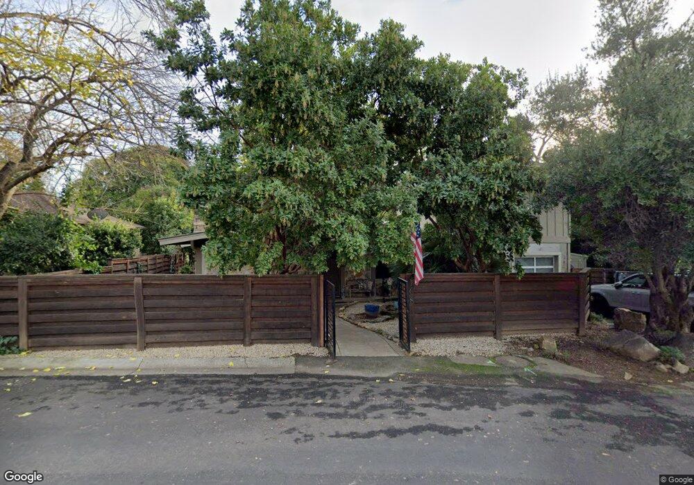
168 Brook Rd Auburn, CA 95603
Estimated Value: $619,000 - $679,289
3
Beds
2
Baths
1,200
Sq Ft
$533/Sq Ft
Est. Value
About This Home
This home is located at 168 Brook Rd, Auburn, CA 95603 and is currently estimated at $639,822, approximately $533 per square foot. 168 Brook Rd is a home located in Placer County with nearby schools including Skyridge Elementary School, Placer High School, and Alta Vista Community Charter.
Ownership History
Date
Name
Owned For
Owner Type
Purchase Details
Closed on
Feb 9, 2022
Sold by
Slevin Family Trust
Bought by
Kevin & Janet Burbank Family Trust
Current Estimated Value
Purchase Details
Closed on
Oct 27, 2010
Sold by
Kemp Anne
Bought by
Slevin Thomas G and Slevin Teresa L
Purchase Details
Closed on
Apr 28, 2006
Sold by
Kemp Allen
Bought by
Kemp Anne
Home Financials for this Owner
Home Financials are based on the most recent Mortgage that was taken out on this home.
Original Mortgage
$328,000
Interest Rate
7.72%
Mortgage Type
Fannie Mae Freddie Mac
Purchase Details
Closed on
Apr 27, 2006
Sold by
Grenier Hilary
Bought by
Kemp Anne
Home Financials for this Owner
Home Financials are based on the most recent Mortgage that was taken out on this home.
Original Mortgage
$328,000
Interest Rate
7.72%
Mortgage Type
Fannie Mae Freddie Mac
Purchase Details
Closed on
Oct 11, 2005
Sold by
Grenier Paul
Bought by
Grenier Hilary
Home Financials for this Owner
Home Financials are based on the most recent Mortgage that was taken out on this home.
Original Mortgage
$265,000
Interest Rate
5.68%
Mortgage Type
New Conventional
Purchase Details
Closed on
Jan 19, 2004
Sold by
Grenier Paul C and Grenier Hilary B
Bought by
Grenier Paul and Grenier Hilary
Home Financials for this Owner
Home Financials are based on the most recent Mortgage that was taken out on this home.
Original Mortgage
$210,000
Interest Rate
5.79%
Mortgage Type
New Conventional
Purchase Details
Closed on
Aug 28, 2002
Sold by
Grenier Hilary B and Barber Hilary A
Bought by
Grenier Paul C and Grenier Hilary B
Home Financials for this Owner
Home Financials are based on the most recent Mortgage that was taken out on this home.
Original Mortgage
$160,000
Interest Rate
6.29%
Purchase Details
Closed on
Dec 15, 1999
Sold by
Zehms John C and Zehms Norma J
Bought by
Barber Hilary A
Home Financials for this Owner
Home Financials are based on the most recent Mortgage that was taken out on this home.
Original Mortgage
$128,000
Interest Rate
7.68%
Mortgage Type
Seller Take Back
Create a Home Valuation Report for This Property
The Home Valuation Report is an in-depth analysis detailing your home's value as well as a comparison with similar homes in the area
Home Values in the Area
Average Home Value in this Area
Purchase History
| Date | Buyer | Sale Price | Title Company |
|---|---|---|---|
| Kevin & Janet Burbank Family Trust | $721,000 | First American Title | |
| Slevin Thomas G | $203,000 | First American Title Company | |
| Kemp Anne | -- | First American Title Company | |
| Kemp Anne | $410,000 | First American Title Company | |
| Grenier Hilary | -- | Fidelity Title | |
| Grenier Paul | -- | Fidelity Title | |
| Grenier Paul C | -- | Alliance Title | |
| Barber Hilary A | $160,000 | Placer Title Company |
Source: Public Records
Mortgage History
| Date | Status | Borrower | Loan Amount |
|---|---|---|---|
| Previous Owner | Kemp Anne | $328,000 | |
| Previous Owner | Grenier Hilary | $265,000 | |
| Previous Owner | Grenier Paul | $210,000 | |
| Previous Owner | Grenier Paul C | $160,000 | |
| Previous Owner | Barber Hilary A | $128,000 |
Source: Public Records
Tax History
| Year | Tax Paid | Tax Assessment Tax Assessment Total Assessment is a certain percentage of the fair market value that is determined by local assessors to be the total taxable value of land and additions on the property. | Land | Improvement |
|---|---|---|---|---|
| 2025 | $7,976 | $703,919 | $209,900 | $494,019 |
| 2023 | $7,976 | $676,586 | $201,800 | $474,786 |
| 2022 | $4,160 | $303,411 | $102,614 | $200,797 |
| 2021 | $4,043 | $297,462 | $100,602 | $196,860 |
| 2020 | $4,020 | $294,413 | $99,571 | $194,842 |
| 2019 | $3,962 | $288,641 | $97,619 | $191,022 |
| 2018 | $3,477 | $251,645 | $95,705 | $155,940 |
| 2017 | $3,161 | $224,089 | $93,829 | $130,260 |
| 2016 | $3,148 | $219,696 | $91,990 | $127,706 |
| 2015 | $3,060 | $216,397 | $90,609 | $125,788 |
| 2014 | $2,993 | $212,159 | $88,835 | $123,324 |
Source: Public Records
Map
Nearby Homes
- 163 Pleasant Ave
- 150 Center St
- 121 Aeolia Dr
- 228 Foresthill Ave Unit B
- 232 Foresthill Ave Unit B
- 413 Orchard Ct
- 325 Union St
- 111 Electric St
- 330 Foresthill Ave
- 438 Olive Orchard Dr
- 681 Foresthill Ave
- 161 Summit St
- 114 Pinecrest Ave
- 160 Walker Dr
- 34-35 Grass Valley Hwy
- 55 Neils
- 420 Miles Ct
- 13017 Lincoln Way Unit 92
- 13065 Lincoln Way Unit B
- 446 Canyon Creek Dr
Your Personal Tour Guide
Ask me questions while you tour the home.