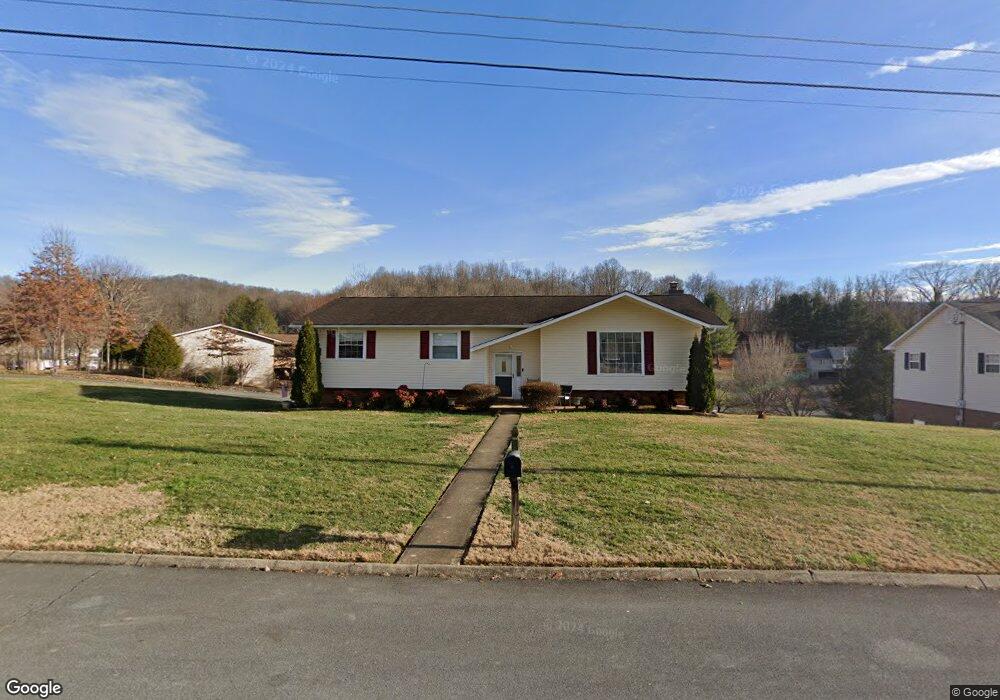
168 Ezee St Elizabethton, TN 37643
Estimated Value: $302,000 - $329,000
4
Beds
2
Baths
2,108
Sq Ft
$152/Sq Ft
Est. Value
About This Home
This home is located at 168 Ezee St, Elizabethton, TN 37643 and is currently estimated at $320,024, approximately $151 per square foot. 168 Ezee St is a home located in Carter County.
Ownership History
Date
Name
Owned For
Owner Type
Purchase Details
Closed on
Aug 10, 2005
Sold by
Sims Chris
Bought by
Harrah Joseph A
Current Estimated Value
Home Financials for this Owner
Home Financials are based on the most recent Mortgage that was taken out on this home.
Original Mortgage
$101,600
Outstanding Balance
$52,856
Interest Rate
5.51%
Estimated Equity
$267,168
Purchase Details
Closed on
Dec 7, 2004
Sold by
Ball Kenneth
Bought by
Sims Chris
Home Financials for this Owner
Home Financials are based on the most recent Mortgage that was taken out on this home.
Original Mortgage
$101,600
Interest Rate
5.67%
Purchase Details
Closed on
Oct 19, 2004
Sold by
Bostrom James P
Bought by
Ball Kenneth
Home Financials for this Owner
Home Financials are based on the most recent Mortgage that was taken out on this home.
Original Mortgage
$101,600
Interest Rate
5.67%
Purchase Details
Closed on
Sep 3, 1987
Bought by
Bostrom James P and Bostrom Janice M
Purchase Details
Closed on
Apr 14, 1978
Bought by
Hilt Roy W and Hilt Lou R
Create a Home Valuation Report for This Property
The Home Valuation Report is an in-depth analysis detailing your home's value as well as a comparison with similar homes in the area
Home Values in the Area
Average Home Value in this Area
Purchase History
| Date | Buyer | Sale Price | Title Company |
|---|---|---|---|
| Harrah Joseph A | $127,000 | -- | |
| Sims Chris | $127,000 | -- | |
| Ball Kenneth | $127,000 | -- | |
| Bostrom James P | $55,500 | -- | |
| Hilt Roy W | -- | -- |
Source: Public Records
Mortgage History
| Date | Status | Borrower | Loan Amount |
|---|---|---|---|
| Open | Hilt Roy W | $101,600 | |
| Closed | Hilt Roy W | $25,400 | |
| Previous Owner | Hilt Roy W | $101,600 |
Source: Public Records
Tax History Compared to Growth
Tax History
| Year | Tax Paid | Tax Assessment Tax Assessment Total Assessment is a certain percentage of the fair market value that is determined by local assessors to be the total taxable value of land and additions on the property. | Land | Improvement |
|---|---|---|---|---|
| 2024 | $939 | $43,075 | $11,575 | $31,500 |
| 2023 | $918 | $42,100 | $0 | $0 |
| 2022 | $855 | $42,100 | $11,575 | $30,525 |
| 2021 | $855 | $42,100 | $11,575 | $30,525 |
| 2020 | $910 | $42,100 | $11,575 | $30,525 |
| 2019 | $910 | $36,850 | $9,825 | $27,025 |
| 2018 | $910 | $36,850 | $9,825 | $27,025 |
| 2017 | $910 | $36,850 | $9,825 | $27,025 |
| 2016 | $903 | $36,850 | $9,825 | $27,025 |
| 2015 | $903 | $36,850 | $9,825 | $27,025 |
| 2014 | $905 | $36,950 | $9,850 | $27,100 |
Source: Public Records
Map
Nearby Homes
- 113 Spirit Dr
- 364 Max Jett Rd
- 667 Golf Course Dr
- 649 & 659 Gap Creek Rd
- Tbd Knobb Hill Rd
- 101 Knobb Hill Rd
- 113 Wedgewood Cir
- 0 Mary Patton Hwy
- 192 Morey Hyder Rd
- 501 Golf Course Dr
- 660 Jena Beth Dr Unit 4
- Tbd Off Warrior Country Acres Ln
- 1821 Woodhaven Dr
- 512 Jena Beth Dr
- 1530 Powder Branch Rd
- 191 Morey Hyder Rd
- 129 Jim Elliott Rd
- 1556 Powder Branch Rd
- 1735 Charlotte Dr
- 2026 W G St