Estimated Value: $923,000 - $1,379,000
6
Beds
3
Baths
3,896
Sq Ft
$293/Sq Ft
Est. Value
About This Home
This home is located at 168 Hubbard St, Lenox, MA 01240 and is currently estimated at $1,143,130, approximately $293 per square foot. 168 Hubbard St is a home with nearby schools including Morris Elementary School, Lenox Memorial High School, and The Montessori School of the Berkshires.
Ownership History
Date
Name
Owned For
Owner Type
Purchase Details
Closed on
Feb 6, 2017
Sold by
Lane Michael D and Lane Sara B
Bought by
Lane Ft
Current Estimated Value
Purchase Details
Closed on
Aug 27, 2014
Sold by
Lane Michael D
Bought by
Lane Sara B and Lane Michael D
Home Financials for this Owner
Home Financials are based on the most recent Mortgage that was taken out on this home.
Original Mortgage
$452,000
Interest Rate
4.14%
Mortgage Type
Purchase Money Mortgage
Create a Home Valuation Report for This Property
The Home Valuation Report is an in-depth analysis detailing your home's value as well as a comparison with similar homes in the area
Home Values in the Area
Average Home Value in this Area
Purchase History
| Date | Buyer | Sale Price | Title Company |
|---|---|---|---|
| Lane Ft | -- | -- | |
| Lane Sara B | -- | -- |
Source: Public Records
Mortgage History
| Date | Status | Borrower | Loan Amount |
|---|---|---|---|
| Previous Owner | Lane Sara B | $452,000 |
Source: Public Records
Tax History Compared to Growth
Tax History
| Year | Tax Paid | Tax Assessment Tax Assessment Total Assessment is a certain percentage of the fair market value that is determined by local assessors to be the total taxable value of land and additions on the property. | Land | Improvement |
|---|---|---|---|---|
| 2025 | $7,690 | $849,700 | $205,000 | $644,700 |
| 2024 | $7,077 | $780,300 | $193,400 | $586,900 |
| 2023 | $6,902 | $753,500 | $182,200 | $571,300 |
| 2022 | $6,766 | $624,200 | $151,800 | $472,400 |
| 2021 | $6,928 | $594,700 | $139,100 | $455,600 |
| 2020 | $7,048 | $582,500 | $135,800 | $446,700 |
| 2019 | $7,108 | $594,800 | $135,800 | $459,000 |
| 2018 | $7,170 | $590,600 | $133,100 | $457,500 |
| 2017 | $7,182 | $588,200 | $130,400 | $457,800 |
| 2016 | $4,758 | $391,300 | $130,400 | $260,900 |
| 2015 | $3,471 | $281,500 | $130,400 | $151,100 |
Source: Public Records
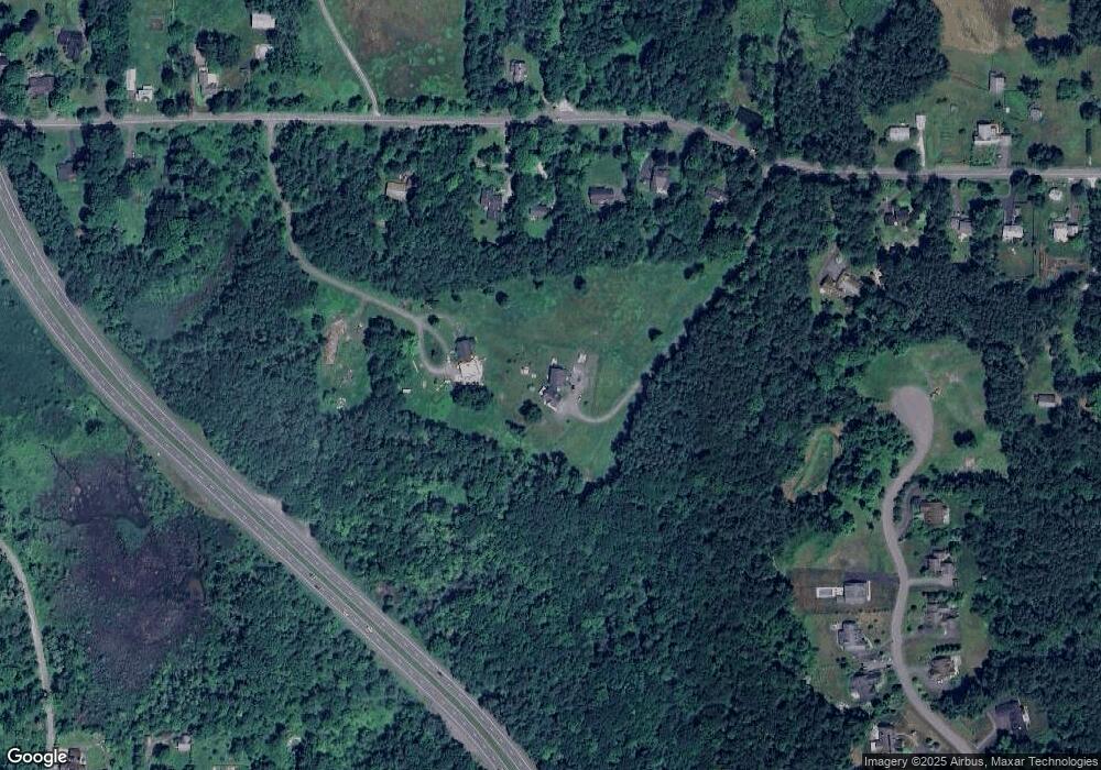
Map
Nearby Homes
- 4 Stoneledge Rd
- 18 Willow Ln
- 137 Housatonic St
- 0 East St
- 31 Saint Ann's Ave
- 20 Bentrup Ct
- 15 Hubbard St
- 13 Taconic Ave
- 7 Hubbard St
- 1 Pinecroft Dr
- 46 Housatonic St Unit 2B
- 0 Main St
- 46 Galway Ct
- 165 Kemble St Unit 5
- 16 Sedgwick Ln Unit 40
- 286 Lee Rd
- 9 October Hill Dr
- 9 Wheatleigh Dr
- 319 Under Mountain Rd
- 55 Crystal St