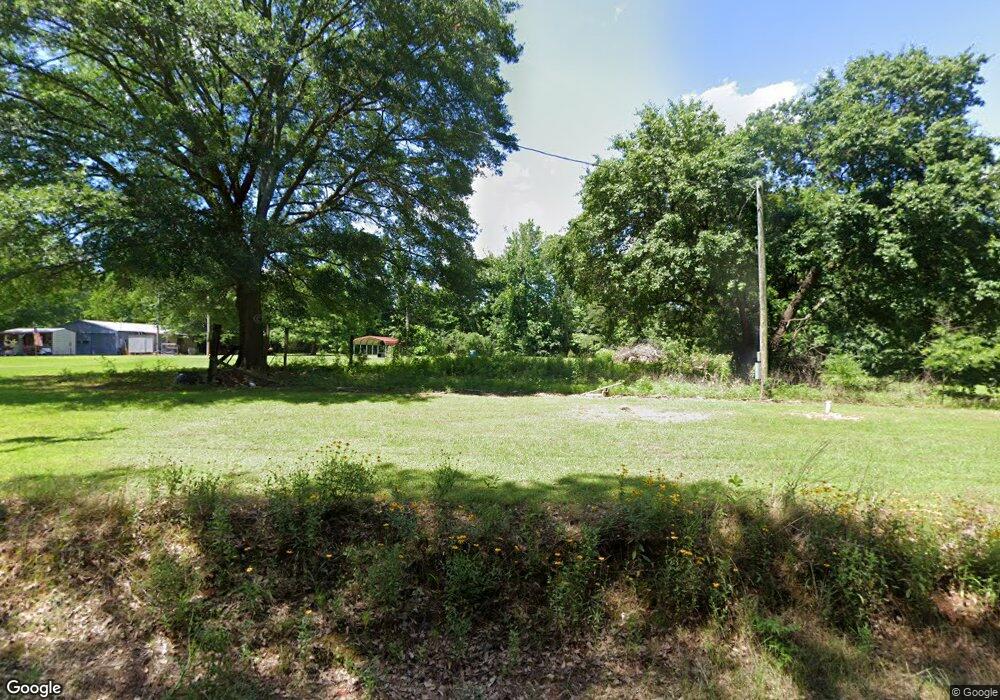
168 Little River 200 Ashdown, AR 71822
Estimated Value: $76,000 - $130,000
--
Bed
1
Bath
1,112
Sq Ft
$88/Sq Ft
Est. Value
About This Home
This home is located at 168 Little River 200, Ashdown, AR 71822 and is currently estimated at $97,855, approximately $87 per square foot. 168 Little River 200 is a home located in Little River County with nearby schools including L.F. Henderson Interm. School, Ashdown Elementary School, and Ashdown Junior High School.
Ownership History
Date
Name
Owned For
Owner Type
Purchase Details
Closed on
Apr 11, 2005
Bought by
Vaught Ronald D and Vaught Kathy J
Current Estimated Value
Purchase Details
Closed on
Oct 14, 2003
Bought by
Rago Betty
Purchase Details
Closed on
Jul 30, 2003
Bought by
First Guaranty Insurance Company
Purchase Details
Closed on
Jun 23, 1998
Bought by
Desantiago Edward and Desantiago Deborah J
Purchase Details
Closed on
Nov 14, 1997
Bought by
Desantiago Edward and Desantiago Deborah J
Purchase Details
Closed on
Sep 1, 1992
Bought by
Desantiago Edward and Rt 3 Box 254
Purchase Details
Closed on
Nov 1, 1980
Bought by
N and A
Create a Home Valuation Report for This Property
The Home Valuation Report is an in-depth analysis detailing your home's value as well as a comparison with similar homes in the area
Home Values in the Area
Average Home Value in this Area
Purchase History
| Date | Buyer | Sale Price | Title Company |
|---|---|---|---|
| Vaught Ronald D | $27,000 | -- | |
| Rago Betty | $27,000 | -- | |
| First Guaranty Insurance Company | -- | -- | |
| Desantiago Edward | $27,500 | -- | |
| Desantiago Edward | $16,100 | -- | |
| Desantiago Edward | $13,000 | -- | |
| N | -- | -- |
Source: Public Records
Tax History Compared to Growth
Tax History
| Year | Tax Paid | Tax Assessment Tax Assessment Total Assessment is a certain percentage of the fair market value that is determined by local assessors to be the total taxable value of land and additions on the property. | Land | Improvement |
|---|---|---|---|---|
| 2024 | -- | $12,490 | $2,950 | $9,540 |
| 2023 | $0 | $12,490 | $2,950 | $9,540 |
| 2022 | $0 | $12,490 | $2,950 | $9,540 |
| 2021 | $0 | $10,790 | $2,700 | $8,090 |
| 2020 | $0 | $10,790 | $2,700 | $8,090 |
| 2019 | $0 | $10,790 | $2,700 | $8,090 |
| 2018 | $0 | $10,790 | $2,700 | $8,090 |
| 2017 | $0 | $10,790 | $2,700 | $8,090 |
| 2016 | -- | $7,194 | $869 | $6,325 |
| 2015 | -- | $7,194 | $869 | $6,325 |
| 2014 | -- | $7,194 | $869 | $6,325 |
Source: Public Records
Map
Nearby Homes
- 160 Lr 717
- 179 Little River 67
- 1665 Peyton Ave
- 1609 Buck Wright Rd
- 1211 Buck Wright Rd
- 850 Oak St
- 640 Willow St
- 1720 Crestview St
- TBD Lr 21
- 1760 Caddo Cir
- 1520 Pine Dr
- 2020 Walnut St
- 1560 Leona Dr
- 1331 Grant St
- 1531 Rankin St
- 630 Rankin St
- 682 U S Highway 71
- 680 U S Highway 71
- 182 Little River 71
- 912 N Smith Cir
- 162 Little River 200
- 171 Little River 200
- 150 Little River 200
- 155 Little River 200
- 201 Little River 200
- 192 Little River 29
- 198 Little River 29
- 201 Little River 29
- 150 Little River 29
- 238 Little River 29
- 171 Little River 29
- 151 Little River 29
- 120 Little River 29
- 277 Little River 29
- 102 Little River 29
- 129 Little River 707
- 290 Little River 29
- 176 Little River 708
- 299 Little River 29
- 114 Little River 707
