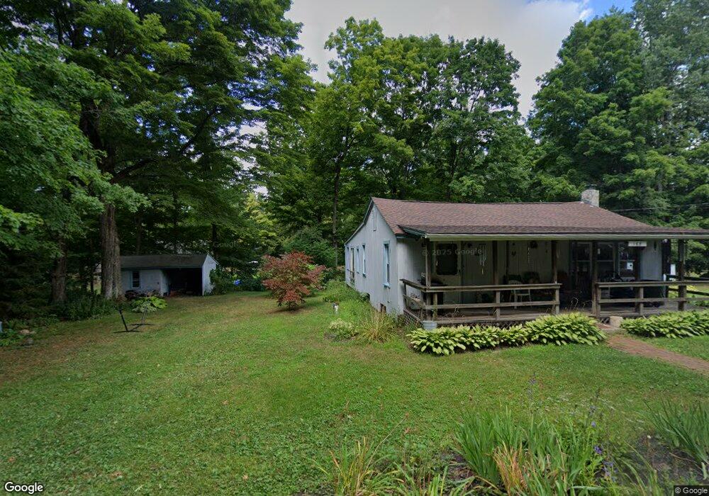
168 Mathew Rd Winsted, CT 06098
Estimated Value: $246,000 - $339,000
2
Beds
1
Bath
1,320
Sq Ft
$218/Sq Ft
Est. Value
About This Home
This home is located at 168 Mathew Rd, Winsted, CT 06098 and is currently estimated at $287,791, approximately $218 per square foot. 168 Mathew Rd is a home located in Litchfield County with nearby schools including Pearson School, Explorations Charter School, and St Anthony School.
Ownership History
Date
Name
Owned For
Owner Type
Purchase Details
Closed on
Oct 28, 2019
Sold by
Lee Melvin H
Bought by
Corey Robert
Current Estimated Value
Home Financials for this Owner
Home Financials are based on the most recent Mortgage that was taken out on this home.
Original Mortgage
$112,000
Outstanding Balance
$98,727
Interest Rate
3.7%
Mortgage Type
Purchase Money Mortgage
Estimated Equity
$189,064
Create a Home Valuation Report for This Property
The Home Valuation Report is an in-depth analysis detailing your home's value as well as a comparison with similar homes in the area
Home Values in the Area
Average Home Value in this Area
Purchase History
| Date | Buyer | Sale Price | Title Company |
|---|---|---|---|
| Corey Robert | $140,000 | -- | |
| Corey Robert | $140,000 | -- |
Source: Public Records
Mortgage History
| Date | Status | Borrower | Loan Amount |
|---|---|---|---|
| Open | Corey Robert | $112,000 | |
| Closed | Corey Robert | $112,000 |
Source: Public Records
Tax History
| Year | Tax Paid | Tax Assessment Tax Assessment Total Assessment is a certain percentage of the fair market value that is determined by local assessors to be the total taxable value of land and additions on the property. | Land | Improvement |
|---|---|---|---|---|
| 2025 | $3,128 | $107,240 | $24,150 | $83,090 |
| 2024 | $2,921 | $107,240 | $24,150 | $83,090 |
| 2023 | $2,830 | $107,240 | $24,150 | $83,090 |
| 2022 | $2,874 | $85,680 | $17,500 | $68,180 |
| 2021 | $2,874 | $85,680 | $17,500 | $68,180 |
| 2020 | $2,874 | $85,680 | $17,500 | $68,180 |
| 2019 | $2,874 | $85,680 | $17,500 | $68,180 |
| 2018 | $2,874 | $85,680 | $17,500 | $68,180 |
| 2017 | $2,792 | $83,230 | $17,500 | $65,730 |
| 2016 | $2,792 | $83,230 | $17,500 | $65,730 |
| 2015 | $2,722 | $83,230 | $17,500 | $65,730 |
| 2014 | $2,656 | $83,230 | $17,500 | $65,730 |
Source: Public Records
Map
Nearby Homes
- 230 E Wakefield Blvd
- 107 Birdsall St
- 124 Rockwell St
- 351 Platt Hill Rd
- 106 Rockwell St
- 843-845 (lots - 10A, E Wakefield Blvd
- 605 E Wakefield Blvd
- 44 Lewis St
- 48 Bridge St
- 436 Main St
- 720 Main St
- 9 John St
- 25 Center St
- 77 Hubbard St
- 118 Meadow St
- 99 Hubbard St
- 393 Winchester Rd
- 94 Holabird Ave
- 55 Walnut St
- 57 Main St
- 147 Belvedere Ave
- 322 White Oak Trail
- 135 Alpha Ave
- 146 Belvedere Ave
- 163 Mathew Rd
- 160 Mathew Rd
- 181-4 Norwood Rd
- 155 Alpha Ave
- 157 Mathew Rd
- 161 Mathew Rd
- 181 Norwood Rd
- 127 White Oak Trail
- 156 Mathew Rd
- 210 Alpha Ave
- 305 Tiffany Rd
- 320 White Oak Trail
- 346 Tiffany Rd
- 358 Demonstranti Rd
- 133 Belvedere Ave
- 227 E Wakefield Blvd
Your Personal Tour Guide
Ask me questions while you tour the home.