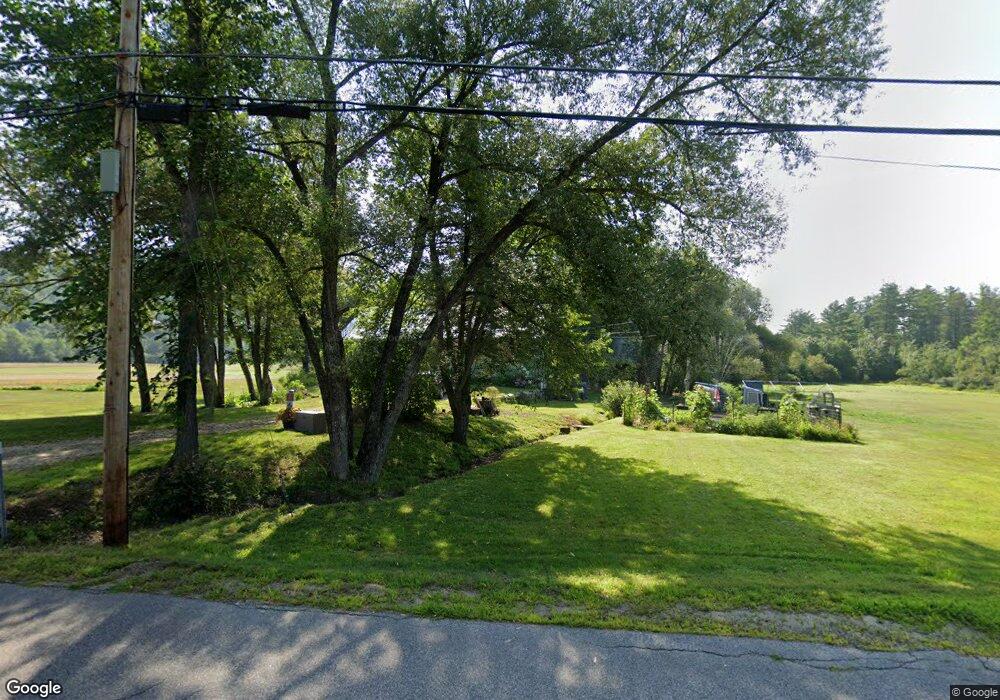
168 Moulton Rd Freedom, NH 03836
Estimated Value: $405,000 - $461,000
3
Beds
2
Baths
2,256
Sq Ft
$190/Sq Ft
Est. Value
About This Home
This home is located at 168 Moulton Rd, Freedom, NH 03836 and is currently estimated at $428,282, approximately $189 per square foot. 168 Moulton Rd is a home located in Carroll County with nearby schools including Freedom Elementary School.
Ownership History
Date
Name
Owned For
Owner Type
Purchase Details
Closed on
Jul 16, 2020
Sold by
Burroughs Bonnie L
Bought by
Burroughs Bonnie L and Brooks Alicia A
Current Estimated Value
Home Financials for this Owner
Home Financials are based on the most recent Mortgage that was taken out on this home.
Original Mortgage
$166,400
Outstanding Balance
$147,552
Interest Rate
3.1%
Mortgage Type
New Conventional
Estimated Equity
$280,730
Create a Home Valuation Report for This Property
The Home Valuation Report is an in-depth analysis detailing your home's value as well as a comparison with similar homes in the area
Home Values in the Area
Average Home Value in this Area
Purchase History
| Date | Buyer | Sale Price | Title Company |
|---|---|---|---|
| Burroughs Bonnie L | -- | None Available |
Source: Public Records
Mortgage History
| Date | Status | Borrower | Loan Amount |
|---|---|---|---|
| Open | Burroughs Bonnie L | $166,400 |
Source: Public Records
Tax History Compared to Growth
Tax History
| Year | Tax Paid | Tax Assessment Tax Assessment Total Assessment is a certain percentage of the fair market value that is determined by local assessors to be the total taxable value of land and additions on the property. | Land | Improvement |
|---|---|---|---|---|
| 2024 | $2,966 | $413,100 | $109,000 | $304,100 |
| 2023 | $2,732 | $248,800 | $38,800 | $210,000 |
| 2022 | $2,545 | $248,800 | $38,800 | $210,000 |
| 2021 | $2,699 | $248,800 | $38,800 | $210,000 |
| 2020 | $2,655 | $248,800 | $38,800 | $210,000 |
| 2019 | $2,601 | $191,800 | $40,800 | $151,000 |
| 2018 | $2,480 | $191,800 | $40,800 | $151,000 |
| 2016 | $2,341 | $185,800 | $40,800 | $145,000 |
| 2015 | $2,311 | $191,000 | $46,000 | $145,000 |
| 2014 | $2,329 | $190,900 | $46,000 | $144,900 |
| 2013 | $2,360 | $190,900 | $46,000 | $144,900 |
Source: Public Records
Map
Nearby Homes
- 43 Old Portland Rd
- Lot 10 Friedman
- 50 Milford Ave
- 118 Pound Round Rd
- 118 Round Pond Rd
- 78 School St
- 128 Washington Rd Unit 66
- 118 Washington Rd Unit 55
- Lot 3 Parsons Rd
- Lots 0-4 Parsons Rd
- Lot 2 Parsons Rd
- Lot 4 Parsons Rd
- Lot 1 Parsons Rd
- Lot 12 Friedman Ln
- 146 Cold Brook Rd
- 40 Independence Dr
- 187 Huntress Bridge Rd
- 5 Friedman Ln
- Lot 8 Friedman Ln
- 5-11 Friedman Ln
- 169 Moulton Rd
- 161 Moulton Rd
- 188 Moulton Rd
- 199 Moulton Rd
- 202 Moulton Rd
- 00 Moulton Rd
- Lot 24-02 Moulton Rd
- 212 Moulton Rd
- 207 Moulton Rd
- 103 Moulton Rd
- 87 Moulton Rd
- 86 Moulton Rd
- 255 Moulton Rd
- 70 Moulton Rd
- 53 Moulton Rd
- 57 Moulton Rd
- 46 Cushing Corner Rd
- 45 Moulton Rd
- 100 Cushing Corner Rd
- 39 Moulton Rd