168 Parade Rd Barnstead, NH 03218
Estimated Value: $293,000 - $489,000
3
Beds
2
Baths
1,008
Sq Ft
$388/Sq Ft
Est. Value
About This Home
This home is located at 168 Parade Rd, Barnstead, NH 03218 and is currently estimated at $391,002, approximately $387 per square foot. 168 Parade Rd is a home located in Belknap County with nearby schools including Barnstead Elementary School and Prospect Mountain High School.
Ownership History
Date
Name
Owned For
Owner Type
Purchase Details
Closed on
Sep 21, 2021
Sold by
Spears Scott
Bought by
Sg Realty Inc
Current Estimated Value
Purchase Details
Closed on
Mar 19, 2009
Sold by
Wells Fargo Bank Na Tr
Bought by
Gaunt Nathan D and Gaunt Charilyn P
Home Financials for this Owner
Home Financials are based on the most recent Mortgage that was taken out on this home.
Original Mortgage
$86,800
Interest Rate
5.25%
Mortgage Type
Purchase Money Mortgage
Purchase Details
Closed on
Nov 6, 2008
Sold by
Vien John and Wells Fargo Bank Na
Bought by
Wells Fargo Bank Na
Purchase Details
Closed on
Mar 4, 2003
Sold by
Leavitt Jason R and Leavitt Janet L
Bought by
Vien John G and Vien Ingrid K
Home Financials for this Owner
Home Financials are based on the most recent Mortgage that was taken out on this home.
Original Mortgage
$144,000
Interest Rate
5.98%
Mortgage Type
Purchase Money Mortgage
Create a Home Valuation Report for This Property
The Home Valuation Report is an in-depth analysis detailing your home's value as well as a comparison with similar homes in the area
Home Values in the Area
Average Home Value in this Area
Purchase History
| Date | Buyer | Sale Price | Title Company |
|---|---|---|---|
| Sg Realty Inc | -- | None Available | |
| Sg Realty Inc | -- | None Available | |
| Gaunt Nathan D | $80,000 | -- | |
| Wells Fargo Bank Na | $119,900 | -- | |
| Vien John G | $139,900 | -- |
Source: Public Records
Mortgage History
| Date | Status | Borrower | Loan Amount |
|---|---|---|---|
| Previous Owner | Vien John G | $86,800 | |
| Previous Owner | Vien John G | $144,000 |
Source: Public Records
Tax History
| Year | Tax Paid | Tax Assessment Tax Assessment Total Assessment is a certain percentage of the fair market value that is determined by local assessors to be the total taxable value of land and additions on the property. | Land | Improvement |
|---|---|---|---|---|
| 2025 | $4,601 | $268,300 | $75,900 | $192,400 |
| 2024 | $4,376 | $268,300 | $75,900 | $192,400 |
| 2023 | $3,850 | $268,300 | $75,900 | $192,400 |
| 2022 | $4,091 | $189,400 | $43,900 | $145,500 |
| 2021 | $4,159 | $189,400 | $43,900 | $145,500 |
| 2020 | $4,375 | $189,400 | $43,900 | $145,500 |
| 2019 | $4,324 | $189,400 | $43,900 | $145,500 |
| 2018 | $3,948 | $189,400 | $43,900 | $145,500 |
| 2017 | $3,831 | $140,400 | $34,900 | $105,500 |
| 2016 | $3,826 | $140,400 | $34,900 | $105,500 |
| 2015 | $3,812 | $140,400 | $34,900 | $105,500 |
| 2014 | $3,565 | $148,800 | $34,900 | $113,900 |
| 2013 | $3,563 | $151,600 | $34,900 | $116,700 |
Source: Public Records
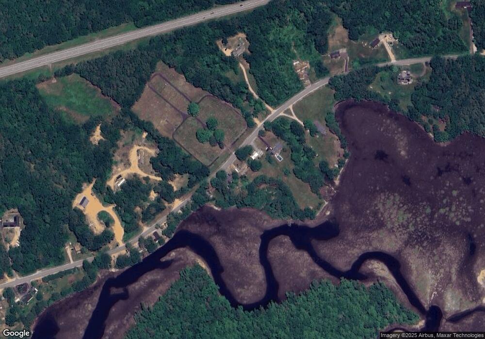
Map
Nearby Homes
- 22 Pinepark Dr
- 39 S Barnstead Rd
- 4 Sandy Point Rd
- L33 Province Rd
- M2-l29-9 Province Rd
- 61a Suncook Valley Rd
- 446 Province Rd
- 16 Ridge Rd
- Lot 33 Ridge Rd
- Map 5 Lot 14 Coles Ledge Rd
- L68-1 Vail Rd
- 161 Vail Rd
- Map R29 Lot 1 and Lot 1-1 Catamount Rd
- 1027 Suncook Valley Rd
- 581 S Barnstead Rd
- 88 Winant Rd
- 79 High St
- 487 Shackford Corner Rd
- 56 Beaver Pond Dr
- 38 Chapelle Rd
- 164 Parade Rd
- 174 Parade Rd
- 160 Parade Rd
- 176 Parade Rd
- 152 Parade Rd
- 143 Parade Rd
- 192 Parade Rd
- 157 Parade Rd
- 203 Parade Rd
- 1-1 Bow Lake
- Lot 64 S Barnstead (Rt 126)
- 20 Lievens Ln
- 4 Fire Lane 16
- 3 Fire Lane 5
- Lot 64 S Barnstead (Rt 126) Unit 64
- 122 Parade Rd
- 127 Parade Rd
- 215 Parade Rd
- 0 Parade Rd Unit 61 4901595
- 0 Parade Rd Unit 61
Your Personal Tour Guide
Ask me questions while you tour the home.