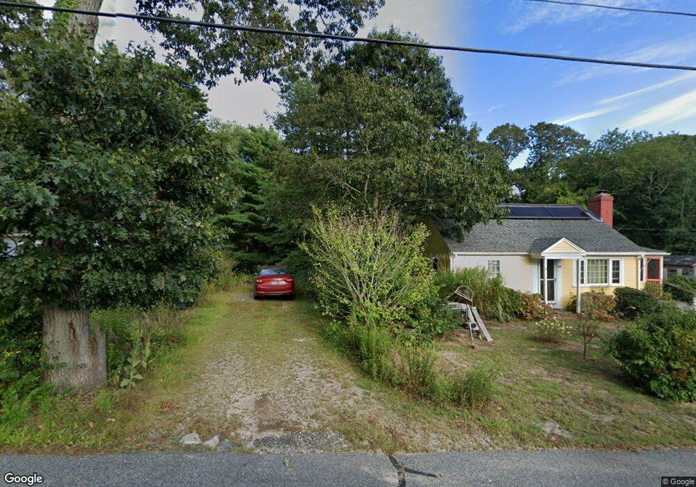
168-R Telegraph Rd Dennis Port, MA 2639
Dennis Port NeighborhoodEstimated Value: $519,377
--
Bed
--
Bath
--
Sq Ft
10,454
Sq Ft Lot
About This Home
This home is located at 168-R Telegraph Rd, Dennis Port, MA 2639 and is currently estimated at $519,377. 168-R Telegraph Rd is a home located in Barnstable County with nearby schools including Dennis-Yarmouth Regional High School and St. Pius X. School.
Ownership History
Date
Name
Owned For
Owner Type
Purchase Details
Closed on
Jan 27, 2017
Sold by
Sanderson Melissa A
Bought by
Wohlbold Wayne L and Wohlbold Kimberly S
Current Estimated Value
Home Financials for this Owner
Home Financials are based on the most recent Mortgage that was taken out on this home.
Original Mortgage
$217,979
Outstanding Balance
$177,253
Interest Rate
3.75%
Mortgage Type
FHA
Estimated Equity
$342,124
Purchase Details
Closed on
Dec 1, 2009
Sold by
Witherell Scott A
Bought by
Sanderson Melissa A
Home Financials for this Owner
Home Financials are based on the most recent Mortgage that was taken out on this home.
Original Mortgage
$203,500
Interest Rate
4.92%
Mortgage Type
Purchase Money Mortgage
Create a Home Valuation Report for This Property
The Home Valuation Report is an in-depth analysis detailing your home's value as well as a comparison with similar homes in the area
Home Values in the Area
Average Home Value in this Area
Purchase History
| Date | Buyer | Sale Price | Title Company |
|---|---|---|---|
| Wohlbold Wayne L | $222,000 | -- | |
| Wohlbold Wayne L | $222,000 | -- | |
| Sanderson Melissa A | $215,000 | -- | |
| Sanderson Melissa A | $215,000 | -- |
Source: Public Records
Mortgage History
| Date | Status | Borrower | Loan Amount |
|---|---|---|---|
| Open | Wohlbold Wayne L | $217,979 | |
| Closed | Wohlbold Wayne L | $217,979 | |
| Previous Owner | Sanderson Melissa A | $203,500 |
Source: Public Records
Tax History Compared to Growth
Tax History
| Year | Tax Paid | Tax Assessment Tax Assessment Total Assessment is a certain percentage of the fair market value that is determined by local assessors to be the total taxable value of land and additions on the property. | Land | Improvement |
|---|---|---|---|---|
| 2025 | $45 | $10,400 | $10,400 | $0 |
| 2024 | $47 | $10,600 | $10,600 | $0 |
| 2023 | $45 | $9,600 | $9,600 | $0 |
| 2022 | $54 | $9,700 | $9,700 | $0 |
| 2021 | $51 | $8,500 | $8,500 | $0 |
| 2020 | $52 | $8,500 | $8,500 | $0 |
| 2019 | $52 | $8,400 | $8,400 | $0 |
| 2018 | $50 | $7,900 | $7,900 | $0 |
| 2017 | $49 | $7,900 | $7,900 | $0 |
| 2016 | $57 | $8,800 | $8,800 | $0 |
| 2015 | $56 | $8,800 | $8,800 | $0 |
| 2014 | $45 | $7,100 | $7,100 | $0 |
Source: Public Records
Map
Nearby Homes
- 11 Lane Rd
- 91 Depot Rd W
- 141 Division St
- 141 Division St
- 47 Telegraph Rd Unit 1
- 9 Country Ln
- 24 Indian Trail
- 9 Bells Neck Rd Unit 10
- 45 Route 28
- 78 Upper County Rd Unit A&B
- 78 Upper County Rd
- 12 Candlewood Ln Unit 2-9
- 10 Candlewood Ln Unit 2-1
- 9 Mansion St
- 537 Depot St
- 64 Smith St
- 79 Massachusetts 28
- 40 Willow St
- 73 Division St
- 148 Belmont Rd
- 168 Telegraph Rd
- 172 Telegraph Rd
- 160 Telegraph Rd
- 176 Telegraph Rd
- 24 Lane Rd
- 285 Division St
- 23 Capt Berry Ln
- 23 Lane Rd
- 175 Telegraph Rd
- 283 Division St
- 20 Gilbert Rd
- 18 Lane Rd
- 12 Old Pine Trail
- 17 Lane Rd
- 279 Division St
- 7 Raintree Rd
- 225 Division St
- 16 Gilbert Rd
- 221 Division St
- 236 Division St