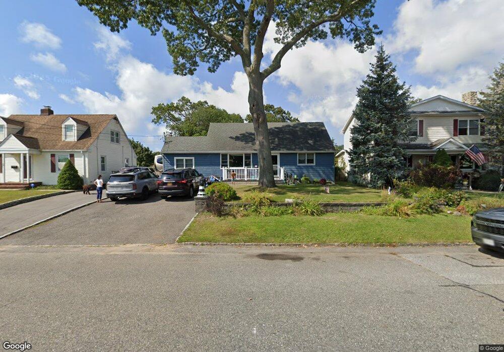
168 Ralph Ave Babylon, NY 11702
Estimated Value: $572,000 - $733,000
4
Beds
2
Baths
1,869
Sq Ft
$353/Sq Ft
Est. Value
About This Home
This home is located at 168 Ralph Ave, Babylon, NY 11702 and is currently estimated at $659,050, approximately $352 per square foot. 168 Ralph Ave is a home located in Suffolk County with nearby schools including Babylon Elementary School, Babylon Memorial Grade School, and Babylon High School.
Ownership History
Date
Name
Owned For
Owner Type
Purchase Details
Closed on
Sep 24, 2013
Sold by
Greenwald Carol S
Bought by
Cassidy Brian
Current Estimated Value
Home Financials for this Owner
Home Financials are based on the most recent Mortgage that was taken out on this home.
Original Mortgage
$208,000
Outstanding Balance
$156,478
Interest Rate
4.53%
Mortgage Type
New Conventional
Estimated Equity
$502,572
Purchase Details
Closed on
Mar 17, 2005
Sold by
Barnes Craig
Bought by
Greenwald Carol S
Create a Home Valuation Report for This Property
The Home Valuation Report is an in-depth analysis detailing your home's value as well as a comparison with similar homes in the area
Home Values in the Area
Average Home Value in this Area
Purchase History
| Date | Buyer | Sale Price | Title Company |
|---|---|---|---|
| Cassidy Brian | $260,000 | -- | |
| Greenwald Carol S | $400,000 | Michelle Goeb |
Source: Public Records
Mortgage History
| Date | Status | Borrower | Loan Amount |
|---|---|---|---|
| Open | Cassidy Brian | $208,000 |
Source: Public Records
Tax History
| Year | Tax Paid | Tax Assessment Tax Assessment Total Assessment is a certain percentage of the fair market value that is determined by local assessors to be the total taxable value of land and additions on the property. | Land | Improvement |
|---|---|---|---|---|
| 2024 | $12,605 | $3,740 | $220 | $3,520 |
| 2023 | $11,240 | $3,740 | $220 | $3,520 |
| 2022 | $9,686 | $3,740 | $220 | $3,520 |
| 2021 | $9,686 | $3,740 | $220 | $3,520 |
| 2020 | $11,453 | $3,740 | $220 | $3,520 |
| 2019 | $11,430 | $0 | $0 | $0 |
| 2018 | $9,780 | $3,740 | $220 | $3,520 |
| 2017 | $9,780 | $3,740 | $220 | $3,520 |
| 2016 | $9,683 | $3,740 | $220 | $3,520 |
| 2015 | -- | $3,740 | $220 | $3,520 |
| 2014 | -- | $3,740 | $220 | $3,520 |
Source: Public Records
Map
Nearby Homes
- 188 Ralph Ave
- 91 Beverly Rd
- 104 Frederick Ave
- 359 Park Ave
- 79 Woodrow Pkwy
- 104 Hawthorne Ave
- 243 Locust Ave
- 252 Locust Ave
- 154A Woodrow Pkwy
- 234 Millard Ave Unit 234
- 45 Arnold Ave
- 49 Arnold Ave
- 7 Lico Place
- 27 Simon St
- 1 Freedom Ct
- 3 Avelaine Ct
- 24 Lowerre St
- 643 Deer Park Ave
- 64 Ketewamoke Ave
- 37 Whalers Cove Dr Unit 37
- 170 Ralph Ave
- 164 Ralph Ave
- 174 Ralph Ave
- 160 Ralph Ave
- 165 Livingston Ave
- 171 Livingston Ave
- 159 Livingston Ave
- 155 Livingston Ave
- 177 Livingston Ave
- 158 Ralph Ave
- 184 Ralph Ave
- 15 Marlborough Rd
- 181 Livingston Ave
- 185 Livingston Ave
- 17 Marlborough Rd
- 191 Livingston Ave
- 142 Ralph Ave
- 162 Livingston Ave
- 168 Livingston Ave
- 176 Livingston Ave
Your Personal Tour Guide
Ask me questions while you tour the home.