Estimated Value: $323,000 - $379,000
4
Beds
1
Bath
960
Sq Ft
$355/Sq Ft
Est. Value
About This Home
This home is located at 168 Root Rd, Barre, MA 01005 and is currently estimated at $340,588, approximately $354 per square foot. 168 Root Rd is a home located in Worcester County with nearby schools including Quabbin Regional Middle School and Quabbin Regional High School.
Ownership History
Date
Name
Owned For
Owner Type
Purchase Details
Closed on
Aug 21, 2003
Sold by
Keddy Deanne M and Keddy Stephen M
Bought by
Hooten Albert W
Current Estimated Value
Home Financials for this Owner
Home Financials are based on the most recent Mortgage that was taken out on this home.
Original Mortgage
$137,600
Interest Rate
5.52%
Mortgage Type
Purchase Money Mortgage
Create a Home Valuation Report for This Property
The Home Valuation Report is an in-depth analysis detailing your home's value as well as a comparison with similar homes in the area
Home Values in the Area
Average Home Value in this Area
Purchase History
| Date | Buyer | Sale Price | Title Company |
|---|---|---|---|
| Hooten Albert W | $172,000 | -- | |
| Hooten Albert W | $172,000 | -- |
Source: Public Records
Mortgage History
| Date | Status | Borrower | Loan Amount |
|---|---|---|---|
| Open | Hooten Albert W | $130,000 | |
| Closed | Hooten Albert W | $137,600 | |
| Previous Owner | Hooten Albert W | $120,000 |
Source: Public Records
Tax History
| Year | Tax Paid | Tax Assessment Tax Assessment Total Assessment is a certain percentage of the fair market value that is determined by local assessors to be the total taxable value of land and additions on the property. | Land | Improvement |
|---|---|---|---|---|
| 2025 | $3,705 | $272,600 | $59,400 | $213,200 |
| 2024 | $3,653 | $261,300 | $56,100 | $205,200 |
| 2023 | $3,561 | $224,500 | $44,100 | $180,400 |
| 2022 | $3,178 | $188,700 | $37,700 | $151,000 |
| 2021 | $2,930 | $162,800 | $37,700 | $125,100 |
| 2020 | $2,834 | $158,600 | $37,700 | $120,900 |
| 2019 | $2,758 | $152,200 | $34,400 | $117,800 |
| 2018 | $2,645 | $140,700 | $34,400 | $106,300 |
| 2017 | $2,545 | $136,100 | $34,400 | $101,700 |
| 2016 | $2,325 | $130,600 | $31,200 | $99,400 |
| 2015 | $2,408 | $129,200 | $37,800 | $91,400 |
| 2014 | $2,052 | $127,800 | $44,400 | $83,400 |
Source: Public Records
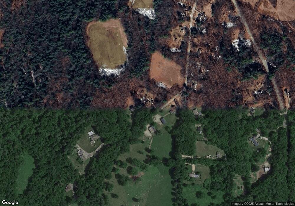
Map
Nearby Homes
- 1215 South St
- 6 Elm St S
- 865 S Barre Rd
- 141 Peach St
- 106 Peach St
- 23 Trafalgar Square Unit 23
- 0 Station Rd
- 572 Wheelwright Rd
- 278 Oakham Rd
- 661 Wheelwright Rd
- 5 Old Coldbrook Rd
- 178 James St
- 277 West St
- 50 Grove St N
- 190 Summer St
- 0 Agnese Ct Unit 73478399
- 15 Primrose Rd
- 621 Woods Rd
- 31 Union St
- 474 Valley Rd
Your Personal Tour Guide
Ask me questions while you tour the home.